Starting point: Dom v Lepeni (700 m)
| Lat/Lon: | 46,3037°N 13,6814°E |
| |
Time of walking: 5 h 45 min
Difficulty: easy pathless terrain
Altitude difference: 1213 m
Altitude difference po putu: 1500 m
Map: Julijske Alpe - zahodni del 1:50.000
Recommended equipment (summer):
Recommended equipment (winter): ice axe, crampons
Views: 10.337
 | 3 people like this post |
Access to the starting point:
Between Trenta and Bovec, the road to Lepena branches off at the village of Soča. Follow this road, which is fully asphalted, to the parking lot of the house in Lepena.
Path description:
From the hut of Dr Klement Jug in Lepena, continue along the wide marked trail towards Krnske jezera. The wide and not to steep path splits into two parts after a few minutes of walking. The left one, which is a bit steeper, is normal, while the right one, which is flatter and a bit longer, is suitable for small children and the elderly. Both paths mostly climb through the forest to the top station of the cable car and cross a few times along the way. From the upper station of the cargo cableway, continue along the same path, which climbs gently along a wide transport road, which quickly leads to the snow depth measurement (every year in April). From here on, the road starts to descend and quickly leads us past the turnoff for Velika Baba to the next crossroads, where we leave the road and continue left down a footpath, which leads us in a few minutes to the house at Krnsko jezero (if we continue along the road, we bypass the mountain lodge). The road continues downhill for a few minutes.
From the house, continue straight on in the direction of Krno and Krnsko jezero along the gently sloping path, which is soon joined by a path that bypasses the mountain lodge. Continue past the shepherd's hut to reach the next crossroads, where you continue left in the direction of Komna and Mali Šmohor (Krn on the right). The wide and gently sloping path takes you past the trail turnoff at Mali Šmohor, quickly leading to the next crossroads.
This time continue right along a slightly less beaten track towards Prehodcev. The path continues up the old mulatier, where after a half-hour climb we reach the path from Koča na planini Razor towards Krno. This trail is reached about 100 m west of the marked crossroads on the Prehodci pass.
Continue right towards Krno (left Prehodci for 2 minutes) and follow the winding and very scenic path. The way ahead gradually leads us out of the plateau world onto the steep eastern slopes, from which we have a fine view of the Tolmin side (the area is called Na Tminskem). The path then turns slightly to the right and gradually leads us into a small high-mountain valley. Here it begins to climb steeply and after about 20 minutes of further walking leads us to a large memorial to the fallen in World War I.
At the monument, the marked path turns sharp right, but we leave it at this point and continue along the path which begins to descend between the monument and Mali Peski (top on the right). The path is less well worn but easy to follow and quickly descends to the foot of Mali Peski, where you reach a long scree slope, over which you cross to the other side, where at the foot of Škofič the path (an old mulatier) joins with the mountain pasture of Lašca. Here, continue right up and follow the clearly visible but completely overgrown mulatier up the slopes of the aforementioned Škofič. Continue climbing gently along the mulatier for some time, and then, when it is closest to the south, leave it and continue climbing along the pathless world (direction of ascent is south-west) until you reach the ridge between Škofič and the Red Edge. When you reach the ridge, continue left along the initially gently sloping path, which is almost imperceptibly joined from the right by a path over a grassy ridge, which comes with mountain pasture Leskovica or Sleme. The way forward climbs steeply along the edge of the precipitous ridge and leads us to the Red Edge within 3 minutes of further walking.

Pictures:
 1
1 2
2 3
3 4
4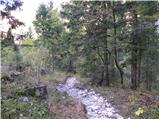 5
5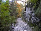 6
6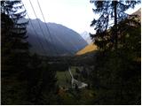 7
7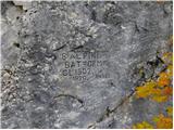 8
8 9
9 10
10 11
11 12
12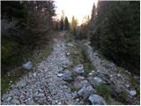 13
13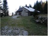 14
14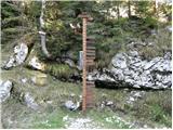 15
15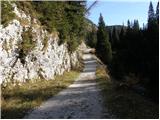 16
16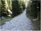 17
17 18
18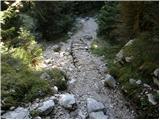 19
19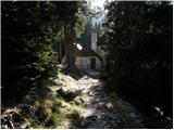 20
20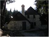 21
21 22
22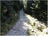 23
23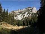 24
24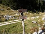 25
25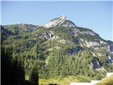 26
26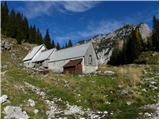 27
27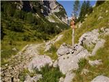 28
28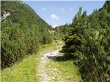 29
29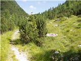 30
30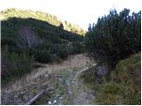 31
31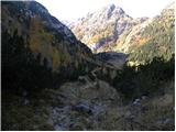 32
32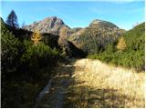 33
33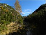 34
34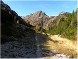 35
35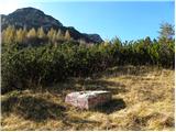 36
36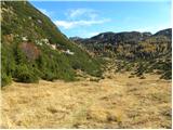 37
37 38
38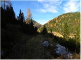 39
39 40
40 41
41 42
42 43
43 44
44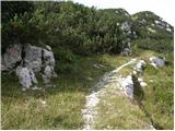 45
45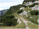 46
46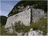 47
47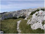 48
48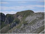 49
49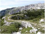 50
50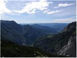 51
51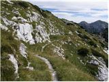 52
52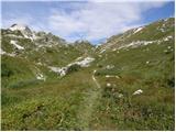 53
53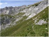 54
54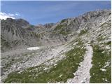 55
55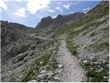 56
56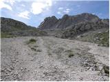 57
57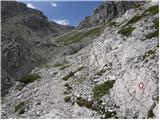 58
58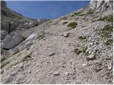 59
59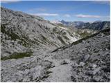 60
60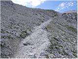 61
61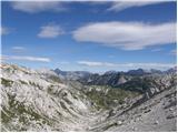 62
62 63
63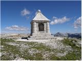 64
64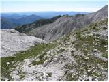 65
65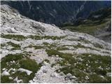 66
66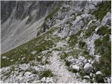 67
67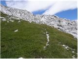 68
68 69
69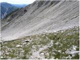 70
70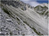 71
71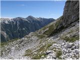 72
72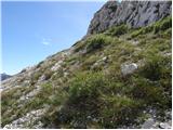 73
73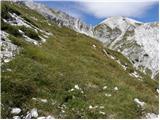 74
74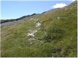 75
75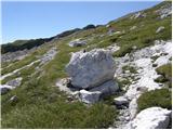 76
76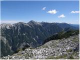 77
77 78
78 79
79 80
80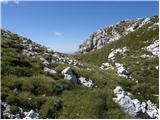 81
81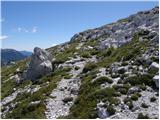 82
82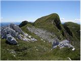 83
83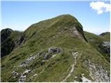 84
84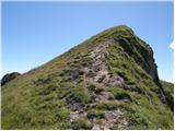 85
85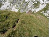 86
86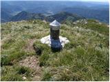 87
87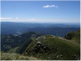 88
88
Discussion about the trail Dom v Lepeni - Rdeči rob
|
| CarpeDiem24727. 09. 2016 |
Mi smo Rdeči rob osvojili iz smeri Kuhinje in je precej krajši pohod do njegovega vrha. Je pa sicerpotrebno nekaj malega spretnosti za vzpon zadnjih 10 višinskih metrov. 
|
|
|
|
| ločanka27. 09. 2016 |
Gre tudi brez posebnih spretnosti!
|
|
|
|
| ljubitelj gora27. 09. 2016 |
Slika 67 na skrajnem levem delu slike je meliščna grapa, ena izmed možnosti za vzpon na greben Rdeči rob-Škofič. Tam dol se letos vračal štartal iz Pologa mimo pl.Lašca in na Vrh Lipnika-Rdeči rob-Škofič.
|
|
|