Starting point: Fiames (1292 m)
| Lat/Lon: | 46,57228°N 12,11735°E |
| |
Time of walking: 2 h 45 min
Difficulty: partly demanding marked way
Altitude difference: 874 m
Altitude difference po putu: 890 m
Map: Tabacco 03 1:25.000
Recommended equipment (summer):
Recommended equipment (winter): ice axe, crampons
Views: 2.320
 | 2 people like this post |
Access to the starting point:
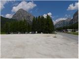
Via Border crossing Rateče, take the road to Trbiž / Tarvisio, where you take the motorway towards Udine. Leave the motorway at the exit for Tolmezzo and follow the road to the above-mentioned place. From Tolmezzo, continue in the direction of Ampezzo and the Passo della Mauria mountain pass. The road then begins to descend and leads into the Cadore valley, where you continue to the right (Belluno and Cortina d'Ampezzo on the left) in the direction of Auronzo. After a few more kilometres, we reach the next major crossroads, where we turn right towards Misurina (left Tre Croci Pass). From here, we follow the road down to a major crossroads, where we turn left towards Cortina d'Ampezzo (right Austria). A few kilometres before Cortina d'Ampezzo, we then park in a large parking lot next to the Hotel Fiames. The parking lot is on the right hand side of the road and the stadium is on the left hand side.
Path description:
From the parking lot at the Hotel Fiames, continue along the main road or the path along the Boite river towards Cortina d'Ampezzo. After a few hundred metres, turn right over the bridge to Camp Olympia. Here, signs point you to the right onto route 408, which then leads you along a dirt track beside the bivouac. The path opens up a few views of the nearby Punta Fiammes and the Boite valley, before descending gently to a marked crossroads.
At the crossroads, the path to the Posporcora saddle and the climbing route to Col Rosa branch off to the left. We continue on the gentle dirt track northwards and after 15 minutes' walk the path leads us back to the crossroads where we turn left onto route 447, following the signs for 'Col Rosa'.
The path begins to climb here and initially passes through the forest alongside a landslide. Later the path turns slightly to the right and climbs a slightly steeper and slightly crumbly slope along a wide ravine. The path is well maintained and the ascent is therefore not particularly difficult. The path then climbs through the forest for some time. Higher up, the path turns slightly to the left and leads us out of the forest onto a slope that is mostly covered with dwarf pines. From the path, we start to see more and more beautiful views, and along the way we will also see a number of military tunnels and caverns.
In the last part of the trail, it follows the gentle northern slope of the mountain. Higher up, the dwarf pines becomes less frequent and just below the summit, a climbing route joins from the right. From here it is only a short climb to the summit.

Pictures:
 1
1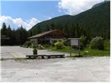 2
2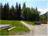 3
3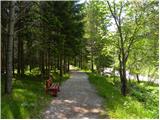 4
4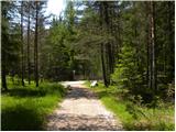 5
5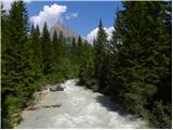 6
6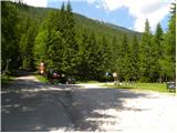 7
7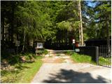 8
8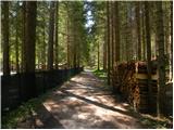 9
9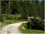 10
10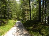 11
11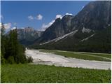 12
12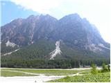 13
13 14
14 15
15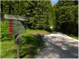 16
16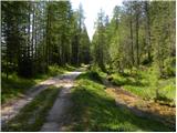 17
17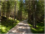 18
18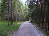 19
19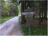 20
20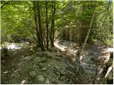 21
21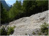 22
22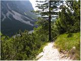 23
23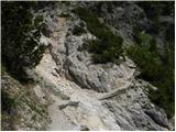 24
24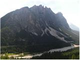 25
25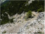 26
26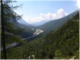 27
27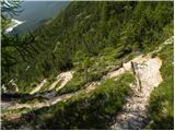 28
28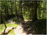 29
29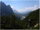 30
30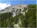 31
31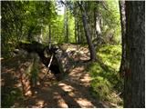 32
32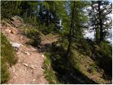 33
33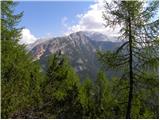 34
34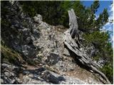 35
35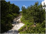 36
36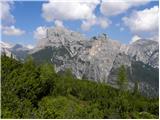 37
37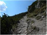 38
38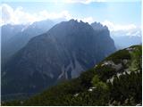 39
39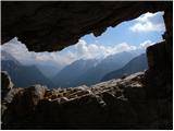 40
40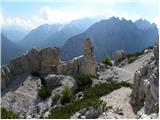 41
41 42
42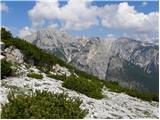 43
43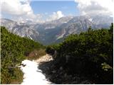 44
44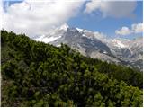 45
45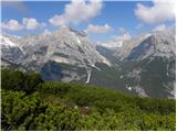 46
46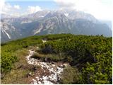 47
47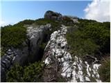 48
48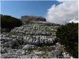 49
49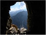 50
50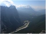 51
51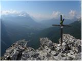 52
52 53
53
Discussion about the trail Fiames - Col Rosa