Hotel Plesnik - Logarska peč (via Plesnikova planina)
Starting point: Hotel Plesnik (760 m)
| Lat/Lon: | 46,3946°N 14,6301°E |
| |
Name of path: via Plesnikova planina
Time of walking: 2 h 50 min
Difficulty: partly demanding marked way
Altitude difference: 776 m
Altitude difference po putu: 870 m
Map: Kamniške in Savinjske Alpe 1:50.000
Recommended equipment (summer):
Recommended equipment (winter): ice axe, crampons
Views: 1.344
 | 1 person likes this post |
Access to the starting point:
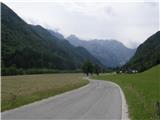
First, drive into the Logarska dolina valley (entrance fee for a private car EUR 7 (July 2016)), then drive to the crossroads where the signs for Hotel Plesnik direct you slightly left (slightly right is the Rinka waterfall). From the crossroads, drive another 100 metres and park in the parking lot near the hotel.
Path description:
From the parking lot continue along the narrow asphalt road, which takes us past the Plesnikova elm tree in a few minutes to the farmhouse Ojstrica, where we continue left in the direction of Plesnikova planina, Strelovec and Koča na Klemenči jami (the route via Plesnikova planina). A little further on we reach the Plesnik Tourist Farm, and a little further on to the end of the road at the outbuilding, where red signs direct us right to cart track, after which we climb up to the forest, enjoying the beautiful views. At a nearby fork in the tracks, continue left, then follow the signs, which lead us along a rather overgrown path to a wider macadam road. Follow the road to a right turn, and there look for the continuation of the waymarked trail. The marked path, which has recently become quite overgrown, returns to the road at a slightly higher level, and you walk along the road to a crossroads, where you continue to the right. A few 10 paces after the crossroads, the markings lead you to the left, to a short ladder, and after this you step onto an overgrown path. Higher up, cross a worse road a few more times, and the path you are walking on is completely overgrown in a few overgrown clearings or clearings and barely traceable among the bushes. Higher up, we get a few views of the peaks above the Logarska dolina valley, and we cross a few more dirt tracks, then pass a water trough and emerge from the forest at the lower part of Plesnikova planina. Once out of the forest, there is a short climb and we reach Plesnik's tent on Plesnikova mountain pasture.
From Plesnikova planina continue left towards Strelovec (right Koča na Klemenči jami), where the path initially leads to the eastern part of mountain pasture, where, on entering the forest, you will notice a path continuing crosswise through the forest. Once in the woods, cross a folded track, followed by a few steps downhill to the more distinct cart track, which is also only crossed, but the continuation of the track is a little more difficult to find. Shortly after leaving the track, a slightly overgrown path leads over a small gully, then crosses the slopes to the north for a while before turning right and approaching another gully. The descent into this ravine is quite dangerous, as the slippery path leads us down a slightly exposed slope quite steeply. On the other side of the ravine, you leave without difficulty, and after a short climb you reach the next track. After cart track we climb for a short time, then the markings direct us slightly to the left on a marked path which starts to approach the next torrential ravine. The descent into this ravine is easy, and it is reached at a kind of "confluence". The path continues along the left-hand gully, and the ascent out of the gully is a little awkward, as the path climbs steeply out of the gully, then quickly lays down and turns left, where in a few minutes you reach a marked crossroads, where you join the path over the Rkljevo Peć (Rkljeva peč). Continue right in the direction of Strelovec along an initially moderately steep path, which soon straightens out and climbs quite steeply for a few minutes. The path quickly lays down, and then a moderate ascent leads to Icmanik's tent, after which you step onto a cart track. Following the cart track or parallel mountain path, we climb in five minutes to the saddle and the crossroads at Icmanikova planina, over which a relatively new forest road leads and from which we have a fine view.
From the crossroads, continue left, where after a 10-step walk over mountain pasture you enter the forest, where you see a well-trodden path. Follow the path quickly up to the ridge, from where you carefully descend to the exposed viewpoint of Logarska peč.
Description and pictures refer to the situation in 2016 (July).

Pictures:
 1
1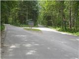 2
2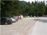 3
3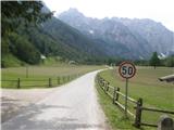 4
4 5
5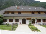 6
6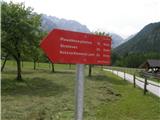 7
7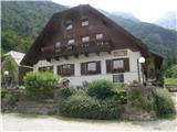 8
8 9
9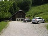 10
10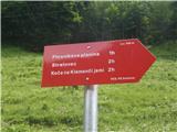 11
11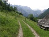 12
12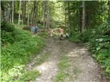 13
13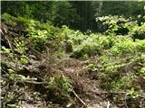 14
14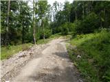 15
15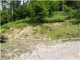 16
16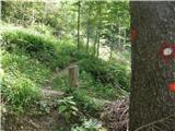 17
17 18
18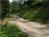 19
19 20
20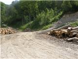 21
21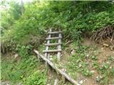 22
22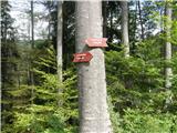 23
23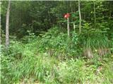 24
24 25
25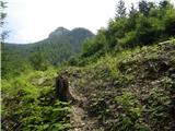 26
26 27
27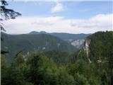 28
28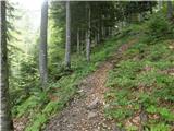 29
29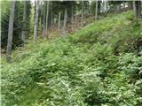 30
30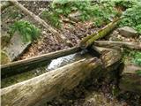 31
31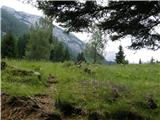 32
32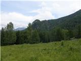 33
33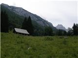 34
34 35
35 36
36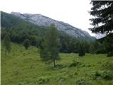 37
37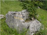 38
38 39
39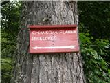 40
40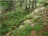 41
41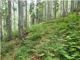 42
42 43
43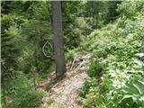 44
44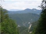 45
45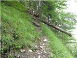 46
46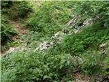 47
47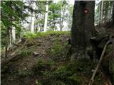 48
48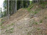 49
49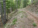 50
50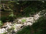 51
51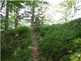 52
52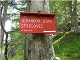 53
53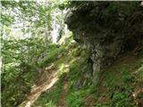 54
54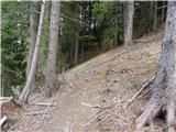 55
55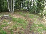 56
56 57
57 58
58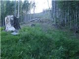 59
59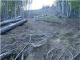 60
60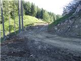 61
61 62
62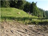 63
63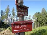 64
64 65
65 66
66 67
67 68
68
Discussion about the trail Hotel Plesnik - Logarska peč (via Plesnikova planina)