Koča na Naravskih ledinah - Dom na Uršlji gori
Starting point: Koča na Naravskih ledinah (1072 m)
| Lat/Lon: | 46,4861°N 14,9386°E |
| |
Time of walking: 1 h 50 min
Difficulty: easy marked way
Altitude difference: 608 m
Altitude difference po putu: 627 m
Map: Koroška 1:50.000
Recommended equipment (summer):
Recommended equipment (winter): ice axe, crampons
Views: 11.020
 | 1 person likes this post |
Access to the starting point:
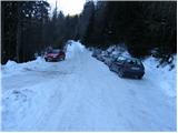
a) From Slovenj Gradec or Ravne na Koroškem, drive to Kotlje, and from there continue on the local road, which leads past the parish church (if you are coming from Slovenj Gradec, continue straight ahead at the main crossroads in Kotlje, and if you are coming from Ravne na Koroškem, continue to the right). After the church, the road slowly starts to climb, and after about a kilometre of driving, it leads to a crossroads by the Church of St. Mohorj and Fortunat, where you continue to the left. Once a little further along, the road leads us to the edge of the forest, where we continue to the right (straight ahead Ivarčko lake). Further on, the ascending road leads us past a few more crossroads, where we continue in the direction of Naravski Lediny. When you arrive at Naravske Ledine, park in one of several parking lots near the mountain hut.
b) From Črna na Koroškem or Mežica drive to Žerjav and from there continue along the valley of the Jazbinski brook. At a higher altitude, gradually leave the valley and climb between the individual farmsteads of the scattered settlement of Uršlje Gora. Before reaching the homestead Križan, turn left in the direction of Naravski Lediny. Further on, during a slight cross-climb to the right, a road branches off, leading to the top of Uršlja gora, and we continue straight ahead and follow the road to the Hut at Naravske Lediny, where we park in a suitable place near the hut.
c) First we drive to Šoštanj (to get here from Velenje or the Savinja Valley), then we continue driving towards Črna na Koroškem. The road then starts to climb towards the Spodnje Sleme Pass (1081 m), which is reached after a few kilometres of winding road. Here, the road to Andrejev dom na Slemenu branches off to the left, and we continue towards Črna na Koroškem. From the pass onwards we drive for a few 100 metres, then the signs for Uršlja gora direct us right onto the ascending road, which loses its asphalt coating just a little higher up. Continue on the wider macadam road (the road is usually ploughed and gritted in winter), and we follow it for about 1500 metres, or to a junction where a worse macadam road branches off to the right, towards Križan and Uršlji gora. Continue in the direction mentioned above, following the road which, after a small pass, begins to descend steeply towards the Križan homestead. At the homestead, continue left, then at the next crossroads follow the signs for Naravske Ledine. When you arrive at Naravske Ledine, park in one of several parking lots near the mountain hut.
Path description:
From the parking lot near the hut, continue along the road for another 10 m, and then a sign for Uršlja gora points you left on the footpath. After 10 minutes of ascent, the path leads us to the next parking lot (possible starting point) at which it turns slightly left and leads us through a short lane of woods to a larger grassy slope over which a pleasant footpath leads us in a slight ascent. On the other side of the meadow, a wide path goes into the woods, where it then continues in a cross-climb. Higher up, the path leads us to a clearing with a view, by which we can see a pleasant little spring. The path continues into the dense forest and starts to climb steeply.
Higher up, the path over Kozji hrbet joins us from the left, and we continue straight ahead, along a slightly steeper path. A little higher up, the steepness eases and the path leads us out of the dense forest onto increasingly scenic slopes. Just below the Uršlja gora peak, the trail splits into two parts (summer and winter trails). The summer trail leads directly to the summit, which is reached in a few minutes, while the winter trail (right-hand trail) first retreats a little to the right and then splits again. The fork is near the signpost, which offers a nice view, and we continue on the left path (straight Dom na Uršlji gori and St Ursula's Church 5 minutes) and reach the top of Uršlje Gora in a minute or two.
Whichever way you climb to the top, continue from the top in the direction of the Doma na Uršlja gora, following the path that runs along the rather steep top slope of the mountain. We pass the nearby transmitters on the right, and then, when we are just in front of the church, we see the mountain lodge, which is only a short descent away.

Pictures:
 1
1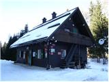 2
2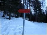 3
3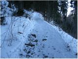 4
4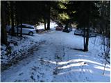 5
5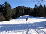 6
6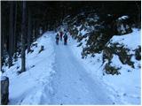 7
7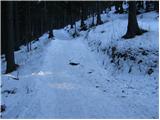 8
8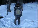 9
9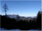 10
10 11
11 12
12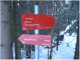 13
13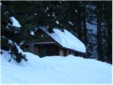 14
14 15
15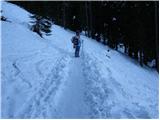 16
16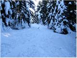 17
17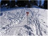 18
18 19
19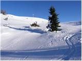 20
20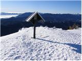 21
21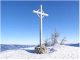 22
22 23
23 24
24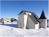 25
25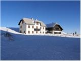 26
26
Discussion about the trail Koča na Naravskih ledinah - Dom na Uršlji gori