Koča pri Savici - Krn (via Krnsko jezero)
Starting point: Koča pri Savici (653 m)
| Lat/Lon: | 46,2896°N 13,8022°E |
| |
Name of path: via Krnsko jezero
Time of walking: 7 h 45 min
Difficulty: easy marked way
Altitude difference: 1591 m
Altitude difference po putu: 2050 m
Map: TNP 1:50.000
Recommended equipment (summer):
Recommended equipment (winter): ice axe, crampons
Views: 62.856
 | 2 people like this post |
Access to the starting point:
From the motorway Ljubljana - Jesenica, take the Lesce exit and follow the road towards Bled and on to Bohinjska Bistrica. Continue driving towards Bohinjsko jezero (Ribčev laz), at which you will come to a crossroads, where you will continue straight along the left (south) side of the lake in the direction of Ukanec and the Savica waterfall. Follow this increasingly narrow road to the large parking lot at the Savica cottage. There is a charge for parking.
Path description:
From the parking lot, follow the wide footpath towards the Savica waterfall and the Komna home. After a short ascent, the path leads us to a marked crossroads where the tourist path to the right branches off towards the Savica waterfall, and we continue slightly to the left or straight along the wide footpath in the direction of Komna. The path continues to climb for a short time along Savica, and then leads us to the first of the 48 marked serpentines. After an hour and a half of moderate ascent through the forest, the path leads us to the 48 serpentine from which we have a beautiful view of Lake Bohinj. Here the path turns slightly to the right and passes into the valley called Pekel, where it climbs gently for a while, then turns to the right and climbs slightly steeper again. After only a few 10 paces, the path turns left again and continues to climb parallel to the valley. The path, which is steep to moderately steep, gradually turns into a more sparse forest, from which you can soon see the house on Komna. The way forward leads us past a small man-made cave, and higher up, past a natural abyss, which is fenced off to prevent any of the hikers from falling into it. Next, the path climbs a little more and after a few steps of further walking leads us to a crossroads where the path to the right branches off to the Black Lake.
Continue straight ahead on the wide path (mulatjeri), which takes you just a little higher to the next crossroads. Continue again to the left (to the right the cottage at Triglav Lakes) along the path, which climbs a little more steeply and after a few minutes of further walking leads us to the hut at Komna.
From the home, continue right (left Vogel, Tolminski Kuk and mountain pasture Govnjač) along the marked path towards the hut below Bogatin. Next, a pleasant and completely sloping path leads us in 15 minutes' walk to Mountain pasture na Kraju, in the middle of which stands the hut Koča pod Bogatinom.
On the other side of Mountain pasture, a path branches off to the right towards Mountain pasture Za Skalo, and we continue straight ahead along a wide mulatier in the direction of Bogatinsko sedlo and Krn. The path then ascends crosswise over the relatively steep slopes of Srednji vrh, skirting the valley of Gracija on the right. The trail then climbs considerably further to the left, where it approaches the steep slopes of Bogatino. There is only a turn to the right and the path leads to Bogatinsko sedlo, from which a fine view of Krn opens up. At the saddle, continue straight ahead in the direction of Krn and Krnsko jezero (Bogatin and Mahavšček on the left, Lanževica on the right) on a path that gradually begins to descend. After a few minutes of descending, the path, which follows an old military causeway, leads to slopes partly covered with dwarf pines. A little further down, two paths branch off to the left, leading to Krn (Krn past Vrh nad Peski and over Batognica), and in both cases we continue straight ahead on the still descending path. Further on, the path is laid, and the path from Mali Šmohor joins us on the left. After a few minutes of easy walking, the path leads to mountain pasture Duplje, where at the crossroads we continue left in the direction of Krnsko jezero and Krno (to the right, the house at Krnsko jezero and the valley of the Lepena).
From mountain pasture Duplje continue along the gently sloping path, which leads us in less than 10 minutes of further walking to the pearl of the Krn mountains, Krn Lake.
The marked trail then leads along the left side of the lake at the foot of the Malá Šmohorja scree. On the other side of the lake, the path turns slightly to the left and then climbs up a slightly steeper slope, where we join the unmarked (upper) path slightly higher up, which crosses the scree above Krnsko jezero (this path is slightly shorter, but exposed to falling rocks). The path then turns slightly right and leads to extensive deposits of torrential gravel, ending at mountain pasture on Polje.
With magnificent views of the surrounding peaks, cross the grassy mountain pasture at Polje (you will see a hunting lodge on the right-hand side, a little way off the waymarked trail) and start climbing up the small valley behind it. The path then climbs a little more and soon leads to a partly marked crossroads. The marked path leading to Krnska notch turns right here (straight unmarked path towards the Prag saddle (2068 m) and starts to climb more steeply. The path then ascends steep slopes, over which you climb in a traverse to Krnska notch (snowfields can be encountered in this part in early summer).
From the stump, continue to the right (sharp left to Prag, left to Batognica and straight mountain pasture Kuhinja)) along the path, which begins to climb up the grassy slope of the mountain. This increasingly scenic path is then followed to the summit, which is reached after about 30 minutes' walk from Krnska notch. From the top, you can walk down to the Gomišček shelter in 5 minutes.

Pictures:
 1
1 2
2 3
3 4
4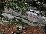 5
5 6
6 7
7 8
8 9
9 10
10 11
11 12
12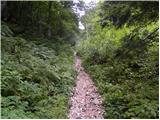 13
13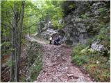 14
14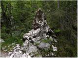 15
15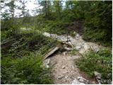 16
16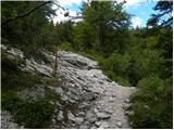 17
17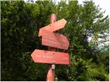 18
18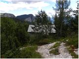 19
19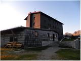 20
20 21
21 22
22 23
23 24
24 25
25 26
26 27
27 28
28 29
29 30
30 31
31 32
32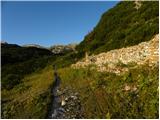 33
33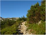 34
34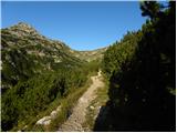 35
35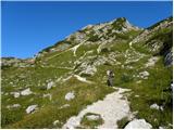 36
36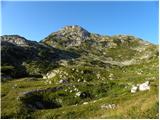 37
37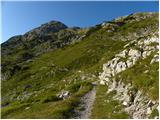 38
38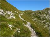 39
39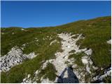 40
40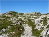 41
41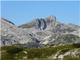 42
42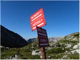 43
43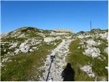 44
44 45
45 46
46 47
47 48
48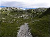 49
49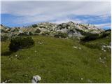 50
50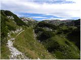 51
51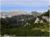 52
52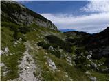 53
53 54
54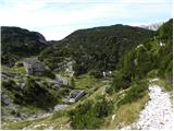 55
55 56
56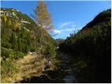 57
57 58
58 59
59 60
60 61
61 62
62 63
63 64
64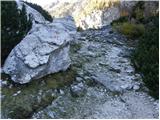 65
65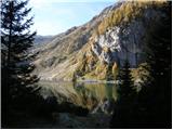 66
66 67
67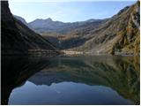 68
68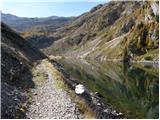 69
69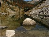 70
70 71
71 72
72 73
73 74
74 75
75 76
76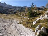 77
77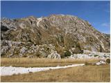 78
78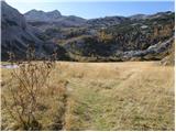 79
79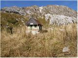 80
80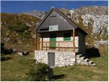 81
81 82
82 83
83 84
84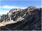 85
85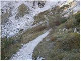 86
86 87
87 88
88 89
89 90
90 91
91 92
92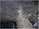 93
93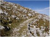 94
94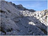 95
95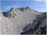 96
96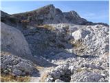 97
97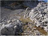 98
98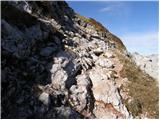 99
99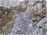 100
100 101
101 102
102 103
103 104
104 105
105 106
106 107
107 108
108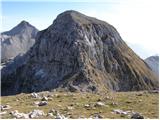 109
109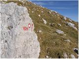 110
110 111
111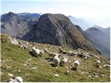 112
112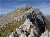 113
113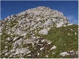 114
114 115
115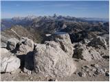 116
116
Discussion about the trail Koča pri Savici - Krn (via Krnsko jezero)
|
| Enka27. 06. 2011 |
Ve kdo, koliko se hodi po tej poti do Krnskega jezera?
|
|
|
|
| Janez Seliškar27. 06. 2011 |
Za povprečnega planinca je iz Ukanca do vrha Krna do 7 ur hoje.
|
|
|
|
| scorpio27. 06. 2011 |
In splača se čez Peske, če je lepo vreme... Polno ostankov krute vojne in drugih zanimivosti. Sicer pa po dolini mimo jezer. Tudi krožno je dobra ideja:P
|
|
|
|
| Enka27. 06. 2011 |
Kakšna pa je po zahtevnosti ta pot čez peske? In koliko se hodi potem s Krna do Savice?
|
|
|
|
| scorpio28. 06. 2011 |
Kakšnih hujših delov ni, pozornost le na izpostavljenih delih (okoli batognice), ker gre mulatjera po robu in zna biti ob vetru nekoliko neprijetno (sem imel meglo  . Sicer pa s Krna do savice preko jezer kakšnih 6 ur? S Komne se malo hitreje gre navzdol 
|
|
|
|
| Enka28. 06. 2011 |
Hvala vsem, mogoče se pa ojunačim  .
|
|
|
|
| Žiga Šubic28. 06. 2011 |
Kaj, a res je le dobre 4 urice do Krnskega jezera? Tole me je pa prav prijetno presenetilo, jutri popoldne skočim gor iz Savice, hvala za info 
|
|
|
|
| Žiga Šubic1. 07. 2011 |
No, jaz sem bil v 8 uricah pri Krnskem jezeru in nato nazaj pri Savici, vendar sem kako tretino poti tekel. Vmes sem pa počival kake pol urice  Po mojem je hoje kakih 5 uric, raje računaj malo več kot manj 
|
|
|
|
| Enka1. 07. 2011 |
Žiga, hvala! Z otroki bomo zagotovo rabili 5 uric, ja.
|
|
|
|
| JusAvgustin1. 07. 2011 |
tis bil u treh urah tm pa nazaj... .)
|
|
|
|
| Gayo8. 01. 2012 |
Kako je prehodna oz. dostopna ta pot v zimskem času? Predvsem od Komne naprej. Hvala. 
|
|
|
|
| potočan24. 07. 2012 |
Imam namen opraviti vzpon na Krn od Savice preko Komne, pa me zanima ali obstaja še kakšna pot razen te preko Krnskega jezera.Sestop imam zamišljen v vas Krn, pa me zanima ali obstaja kakšen javen prevoz v dolino, v Kobarid ali Most na Soči.Prosim poznavalce za odgovor
|
|
|
|
| B224. 07. 2012 |
Od Savice do Komne in mimo koče pod Bogatinom, ter dalje čez Bogatinsko sedlo do konte Za Lepočami (izrazita dolinica z ostanki kasarn). Tu je razpotje. Naravnost in navzdol pridemo do Krnskega jezera, levo mimo ruševin kasarn pa nas markirana pot vodi proti planini Razor. Po par sto metrih znova naletimo na (označeno) razpotje. Tu se poti razcepijo in sicer naravnost proti planini Razor, desno in navzdol proti izviru Tolminke in desno in malo navzgor proti Krnu. Pot je izredno slikovita in razgledna. Vodi nas čez travnate planote in kasneje čez melišča in mimo spomenika iz prve svetovne vojne na Peskih. Dalje gremo čez pobočja Peskov in na sedlo med Peski in Batognico. Tu se lahko odločimo - ali čez Batognico ali po spodnji (severni) poti pod Batognico in v Krnsko škrbino, ter na vrh Krna. Hoje je vsekakor za kašno uro in pol manj kot mimo Krnskega jezera. Iz vasi Krn pa bo treba kar peš do magistrake Bovec - Nova Gorica. Tudi avtobusne zveze so bolj redke... Priporočam pa planinsko karto Julijske Alpe zahodni del 1:50 000 ali Krnsko pogorje 1:25 000 (obe založba PZS). Pa obilo užitkov na poti...
|
|
|
|
| potočan24. 07. 2012 |
Ejga hvala za izčrpen opis, nazaj grede pa pol ne kaže druzga kot mimo jezera in doma v Lepeno in do glavne ceste, pa na avtobus čez Vršič.
|
|
|
|
| B225. 07. 2012 |
Vsekakor je boljša varianta spust mimo jezera in v Lepeno. Tam se do glavne ceste mogoče dobi kakšen prevoz, od tu dalje pa avtobus - ali proti Bovcu, ali proti Kranjski gori... Lep dan!
|
|
|
|
| Pohodnica567. 08. 2012 |
Ker bova s sopohodnico drugi teden, seveda ob obetavni vremenski napovedi malo naokrog imava rezervirano spanje v koči pod Bogatinom par dni bi en dan radi še na Krn prisopihali. Zanima me približen čas hoje: koča pod Bogatinom-Krn in nazaj. Sopohodnca je malce bolj počasna, pa že jaz nisem zelo hitra  zato bo vsak odgovor dobrodošel. Varen korak vsem v gorah.
|
|
|
|
| sasy019126. 07. 2016 |
Prehodila ta vikend. Super vreme, lepi razgledi in prijazni ljudje. Priporočam da tole naredite kot večdnevni izlet, se vmes ustavite še pri kaki koči in uživate! super je. Sama sem pa za sestop izbrala kar planino pri kuhinji in za nagrado golaž in kislo mleko...
|
|
|
|
| Hribolazec815. 08. 2022 12:52:38 |
Mogoče kdo ve časovno za povprečnega planica:
Koča pri savici - Koča pod Bogatinom
Koča pod Bogatinom - Krn
Krn - Batognica
Batognica - Koča pri Krnskih jezerih (Za dol )
|
|
|
|
| mornar5. 08. 2022 13:34:14 |
Šel po tej poti samo da nisem šel ćez Batognico ampak po spodnji ter čez Peske.Za pot v obe smeri potreboval z postanki 13 ur.
|
|
|
|
| Hribolazec816. 08. 2022 17:55:08 |
Hvala za pomoč, kako je pa s parkiranjem na parkingu blizu koče pri Savici za več dni?
Vem da pride parking 10€ na dan, kako pa plačaš za več dni?
|
|
|
|
| _sandra_28. 06. 2023 06:56:12 |
V soboto krasen dan za hojo do Krna s Koce pri Savici. Ob 6.00 je bilo parkirisce skoraj prazno, pa tudi pobiralca parkirnine ni bilo 
|
|
|