Koča pri Savici - Lanževica (via Lepa Komna)
Starting point: Koča pri Savici (653 m)
| Lat/Lon: | 46,2896°N 13,8022°E |
| |
Name of path: via Lepa Komna
Time of walking: 5 h
Difficulty: easy marked way
Altitude difference: 1350 m
Altitude difference po putu: 1400 m
Map: TNP 1:50.000
Recommended equipment (summer):
Recommended equipment (winter): ice axe, crampons
Views: 18.083
 | 5 people like this post |
Access to the starting point:
From the motorway Ljubljana - Jesenica, take the Lesce exit and follow the road towards Bled and on to Bohinjska Bistrica. Continue driving towards Bohinjsko jezero (Ribčev laz), at which you will come to a crossroads, where you will continue straight along the left (south) side of the lake in the direction of Ukanec and the Savica waterfall. Follow this increasingly narrow road to the large parking lot at the Savica cottage. There is a charge for parking.
Path description:
From the parking lot, take the wide path that climbs along the river Savica (direction Komna and waterfall Savica). After two minutes of easy walking, you will reach a small house (a small newsagent) where the path to the waterfall branches off to the right, and we continue straight on towards the house on Komna. The path ahead leads us along an old military causeway and climbs in many switchbacks, all the way through the forest. After crossing 48 serpentines, the path leads us into an unmarked valley between Dobračeva glava and Plešo. This valley is called Pekel. The ascent continues up a less steep slope, where you can see a cave on the right that was made during the war. Ten minutes before the Komna lodge, you reach a crossroads, where you go left (to the right, the Black Lake). A few steps further on, you reach the next crossroads, where a path branches off to the right, leading to the hut by the Triglav Lakes. Continue left and follow the slightly steeper path all the way to the house at Komna.
From here, continue behind the hut, in the direction of the hut below Bogatin. After 15 minutes of easy walking, you will reach the pyramid, from which it is only a few steps downhill to the hut.
From the hut, continue in the direction of Lanževica and Bogatin, but only a few metres. The path leads us again to a crossroads, where we continue slightly to the right in the direction of Lanževica and Soča (straight Bogatin saddle). The way forward is initially gentle, then moderate climbing up the grassy slope surrounded by dwarf pines. After this ascent the path leads over an undistinguished threshold into a small valley.
The path continues along the plateau of Lepe Komna and only occasionally climbs slightly. After a series of valleys and meadows, the path leads to a crossroads, where it continues to the left in the direction of Lanževica (to the right Soča and mountain pasture for Skala). The path continues along the old military causeway, which, apart from a few stone bridges, is already quite overgrown. A little further on, we come to a larger meadow, which the path almost encircles. On the other side, the path starts to climb up the valley. We climb between the gently sloping slopes of Lanževica and Vrch nad Gracija. The grassy slopes we are walking on slowly turn into rocky ones. When we leave this valley, the path leads us to a nondescript ridge where we join the path with Bogatinsko sedlo (possibility of return). Continue right up towards Lanževica, which is reached after 20 minutes of gentle ascent on its summit slope. Savica - carriage under Bogatin 2:45, carriage under Bogatin - Lanževica 2:15.

Pictures:
 1
1 2
2 3
3 4
4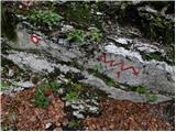 5
5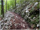 6
6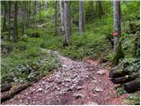 7
7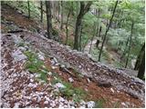 8
8 9
9 10
10 11
11 12
12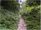 13
13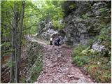 14
14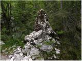 15
15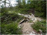 16
16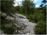 17
17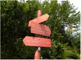 18
18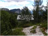 19
19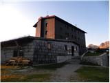 20
20 21
21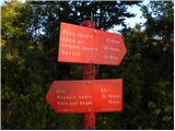 22
22 23
23 24
24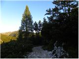 25
25 26
26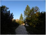 27
27 28
28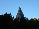 29
29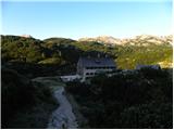 30
30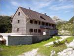 31
31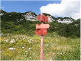 32
32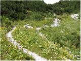 33
33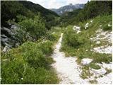 34
34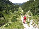 35
35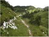 36
36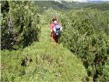 37
37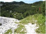 38
38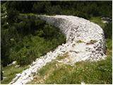 39
39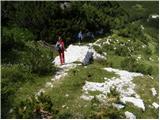 40
40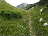 41
41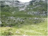 42
42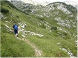 43
43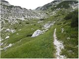 44
44 45
45 46
46 47
47 48
48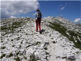 49
49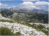 50
50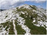 51
51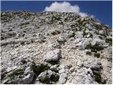 52
52 53
53 54
54
Discussion about the trail Koča pri Savici - Lanževica (via Lepa Komna)
|
| peterhaf18. 02. 2009 |
Ali se z Lanževice preko Lepe Komne lahko pride direktno do Koče pri Sedmerih jezerih?
|
|
|
|
| triglavski18. 02. 2009 |
Seveda se pride. Z Lanževice se spustiš na Poljanico, potem pa pod Kalom do pl. Na Kalu, kjer ujameš markirano pot proti pl. Lopučnica.
|
|
|
|
| viharnik18. 02. 2009 |
Seveda se pride,sedaj pa še lažje ker je vse rušje pod snegom.Z vrha se spustite na Konto Poljanica(ruševine koč),naprej pod levimi skalnimi obronki Kraj Kala1854m,do Pl. na Kalu,nato severno navzgor doPl.Lopučnica ter skozi kratek vzpon do Trigl.jezer.S seboj pa morate imeti vsaj krplje,če že ne smuči!Pot traja 3,5-4 ure v danih razmerah!Srečno.
|
|
|
|
| peterhaf19. 02. 2009 |
Hvala za odgovora. Na pot bi se odprail, ko sneg skopni. Kako težka je takrat in koliko časa traja od vrha lanževice?
|
|
|
|
| viharnik19. 02. 2009 |
Redna pl.trasa od Triglavskih jezer do Komne,traja 2.30h.Z vrha Lanževice pa prišteješ kakšno uro dlje.Pot pa bo kopna morda letoš šele v juliju?.
|
|
|
|
| katja8725. 06. 2014 |
V nedeljo (22.6.2014) smo opravili lepo krožno turo po Komni: Koča pri Savici - Dom na Komni - Lanževica (čez Lepo Komno) - Bogatinsko sedlo - Dom na Komni - Koča pri Savici. Pot čez Lepo Komno je čudovita in nudi prelepe razglede. Po dolinicah je nabranega še kar nekaj snega, zato je vmes otežena orientacija, saj je potka pod snegom in te hitro zavede. Slike iz pohoda si lahko ogledate na spletni strani Planinskega društva Matica Murska Sobota: http://www.mojalbum.com/pdmaticams/20140622-lanzevica-2003m/smerokaz-na-izhodiscu/21793748
|
|
|
|
| Zgembo30. 04. 2017 |
A mogoče kdo ve kje se da dobiti žig?
|
|
|
|
| mornar17. 08. 2019 |
Je kdo vkratkem hodil iz Komne na Lanževico,kako je pot prehodna in kako jesledljiva pot čez lepo komno.Lp.
|
|
|
|
| sh17. 08. 2019 |
Pot čez lepo Komno poteka po mulatieri in ni težav s sledljivostjo. Sicer smo mi hodili že pred dvema letoma in nismo imeli nobenih težav z označenostjo. Povratek smo naredili čez Vratca.
|
|
|
|
| KarmenT1. 11. 2021 18:49:11 |
Pot čez Lepo Komno je sledljiva brez težav. Nikjer ni zaraščena in se ne zgublja. V celoti lepo markirana. Samotni kraji za dušo s čudovitimi razgledi. 
|
|
|