Koča pri Savici - Planina Lopučnica (via Komna)
Starting point: Koča pri Savici (653 m)
| Lat/Lon: | 46,2896°N 13,8022°E |
| |
Name of path: via Komna
Time of walking: 4 h 15 min
Difficulty: easy marked way
Altitude difference: 905 m
Altitude difference po putu: 1100 m
Map: Triglav 1:25.000
Recommended equipment (summer):
Recommended equipment (winter):
Views: 4.879
 | 1 person likes this post |
Access to the starting point:
From the motorway Ljubljana - Jesenica, take the Lesce exit and follow the road towards Bled and on to Bohinjska Bistrica. Continue driving towards Bohinjsko jezero (Ribčev laz), at which you will come to a crossroads, where you will continue straight along the left (south) side of the lake in the direction of Ukanec and the Savica waterfall. Follow this increasingly narrow road to the large parking lot at the Savica cottage. There is a charge for parking.
Path description:
From the parking lot, take the wide path that climbs along the river Savica (direction Komna and waterfall Savica). After two minutes of easy walking, you will reach a small house (a small newsagent) where the path to the waterfall branches off to the right, and we continue straight on towards the house on Komna. The path ahead leads us along an old military causeway and climbs in many switchbacks, all the way through the forest. After crossing 48 serpentines, the path leads us into an unmarked valley between Dobračeva glava and Plešo. This valley is called Pekel. The ascent continues up a less steep slope, where you can see a cave on the right that was made during the war. Ten minutes before the Komna lodge you reach a crossroads, where you go left (right Black Lake). A few steps further on you reach the next crossroads, where the path to the right branches off and leads to the hut by the Triglav Lakes (left Komna lodge 5 minutes).
Continue in the direction of the huts at Triglav Lakes along the path which, after a few more steps, leads to the next crossroads. Continue to the right again (left hut Koča pod Bogatinom) and continue the ascent along the path, which ascends slightly a few times and then descends again.
A little further on, the path from the hut below Bogatin joins us, and we continue on towards the hut by the Triglav Lakes. The pleasant mountain path then crosses the abandoned mountain pasture Razor, and a little later the marshy one at Kal. Further on, the path descends a little more significantly and leads us to the abandoned mountain pasture Lopučnica.
Savica - Komna 2:30, Komna - Lopučnica 1:45.

Pictures:
 1
1 2
2 3
3 4
4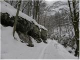 5
5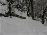 6
6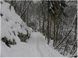 7
7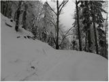 8
8 9
9 10
10 11
11 12
12 13
13 14
14 15
15 16
16 17
17 18
18 19
19 20
20 21
21 22
22 23
23 24
24 25
25 26
26 27
27 28
28 29
29 30
30 31
31 32
32 33
33 34
34 35
35 36
36 37
37 38
38 39
39 40
40 41
41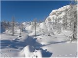 42
42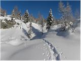 43
43 44
44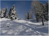 45
45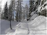 46
46 47
47 48
48 49
49 50
50 51
51 52
52
Discussion about the trail Koča pri Savici - Planina Lopučnica (via Komna)