Kočna - Žerjavec (Kavče) (south path)
Starting point: Kočna (660 m)
| Lat/Lon: | 46,4179°N 14,0831°E |
| |
Name of path: south path
Time of walking: 30 min
Difficulty: easy unmarked way
Altitude difference: 145 m
Altitude difference po putu: 145 m
Map: TNP 1:50.000
Recommended equipment (summer):
Recommended equipment (winter): crampons
Views: 1.557
 | 3 people like this post |
Access to the starting point:
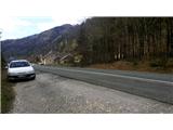
From the motorway Ljubljana - Jesenice take the exit Lipce, where you turn left in the direction of Blejska Dobrava and Spodnje Gorje. Soon after crossing the railway underpass, we are at the next crossroads, where we turn right - Bled, Kočna. The road, serpentine at first, climbs straight westwards and soon reaches the summit or settlement of Kočna in a left turn. Our starting point is on the left side of the road, a few metres before the local sign. Because of the unbroken line, continue past the first houses, where you will see a bus stop on the right. Here we turn around and go back, almost to the bend, before descending back down into the valley. We stop in a gravel parking lot.
Path description:
From the starting point, follow the road back towards the village. After 250 m, a few metres before the bus stop, turn right onto the narrow asphalt side road on your left, which takes you past a few houses uphill. After a left turn, the road flattens out and loses its asphalt base, leading to a larger meadow. Here, take a perpendicular left, towards an abandoned building, which you pass on the right, into the woods. The wide path in the woods climbs gently and soon turns almost perpendicular right at a crossroads. Further along the moderately ascending path you will come across a bench, and a little higher up (near the saddle between hills Žerjavec and Vrše) a new crossroads, where you will have a partial view of the other side of the hill in the direction of Žirovnica. Here we take a sharp left, and we come out on a wide path that climbs gently back in the direction from which we came. After a few 10 metres, ignore the right fork and continue straight ahead on the path uphill. This soon leads to a TV transmitter, past which we continue in the same direction towards the top of the hill. Soon a beautiful path through a small forest, over some small rocks, leads us to the southern edge of the summit ridge of Žerjavec. From here we are only a few metres away from a rocky pier with a bench, which represents the summit, where we rest and enjoy the view of the village Kočna, Poljanska Baba, Gorje with Pokljuka, Boršt, and part of Karawanks to our right.

Pictures:
 1
1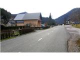 2
2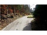 3
3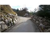 4
4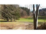 5
5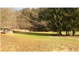 6
6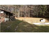 7
7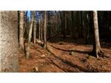 8
8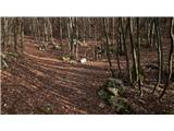 9
9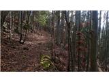 10
10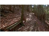 11
11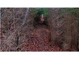 12
12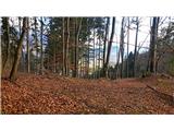 13
13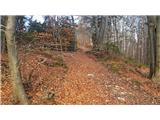 14
14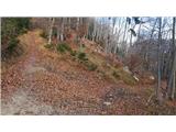 15
15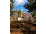 16
16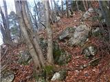 17
17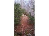 18
18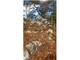 19
19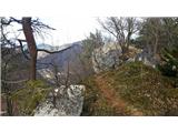 20
20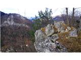 21
21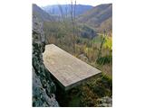 22
22
Discussion about the trail Kočna - Žerjavec (Kavče) (south path)
|
| grega_p27. 12. 2024 18:33:06 |
Še en mini hribovski dragulj, ki ga mogoče zakriva Poljanska baba ali pač samo njegova skromna višina in kratek pristop.
Ponuja pa lepo krožno pot iz Kočne (južna, severna pot), razgiban skalni teren na vrhu, lepe razglede, borovce in večinom osončeno lego. Komur je premalo pa lahko nadaljuje še na Vrše.
Hvala lepa za objavo.
|
|
|