Kokra (Podlebelca) - Kalški greben
Starting point: Kokra (Podlebelca) (559 m)
| Lat/Lon: | 46,319°N 14,4986°E |
| |
Time of walking: 4 h 45 min
Difficulty: partly demanding marked way
Altitude difference: 1665 m
Altitude difference po putu: 1665 m
Map: Kamniške in Savinjske Alpe 1:50.000
Recommended equipment (summer): helmet
Recommended equipment (winter): helmet, ice axe, crampons
Views: 22.102
 | 3 people like this post |
Access to the starting point:
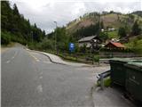
a) Drive to Preddvor or to the settlement Tupaliče, which is located on the main road Kranj - Zgornje Jezersko, and then continue driving in the direction of Jezersko. Once you reach Kokra, at the road sign between 8. 5 km and 8 km, turn right over the bridge into the hamlet of Podlebelca, where the route described above begins. There are no parking places at the starting point, so park in a suitable place nearby.
b) From Jezersko, drive towards Preddvor, and at the road sign between 8 km and 8. 5 km, turn left over the bridge into the hamlet of Podlebelca, where the described route begins. There are no parking places at the starting point, park in a suitable place nearby.
Path description:
Behind the bridge, you will see red mountain direction signs directing you to the road that climbs through the village of Podlebelca. Follow the signs past the houses, and the asphalt ends above the hamlet. After a short climb through the forest, you reach a large chapel, after which you turn left onto the marked cart track. Cart track immediately splits, and we take the right one, along which the markings continue. A little higher we reach an asphalt road leading to the farms Roblek, Pestotnik and Lovrin, and we follow it to the first right turn. After the bend, the footpath continues, climbing quickly to where you cross the road leading to Lovrin Farm. We continue through the wods, and the path gradually climbs up and along an undistinguished woded ridge. Higher up, we cross an asphalt road leading to the Roblek farm, and we climb steeply for a few more minutes before joining the cart track road leading from the Roblek farm.
Continue straight ahead, following the initially wide cart track, which you soon leave, as the signs direct you to the right onto a footpath. A further, not to steep path then leads us to a larger rock, where the next marked crossroads is this time. Continue straight ahead (right Krvavec) along the path, which gradually starts to climb steeper and leads us higher under a large rocky peak, which is already visible from the Kokra valley. The path retreats slightly to the left of the boulder, and then, when we are a little higher up, it turns to the right and comes quite close to the rocky cliffs on our right. The path ahead leads us in a moderate ascent to a short lane of dwarf pines after which we reach Lojtra. Lojtra is a slightly exposed passage on a wide and well protected shelf. After crossing this part, there is only a short scramble up the slopes (a ropeway), and then the steepness of the slopes eases. Continue along the path ascending through dwarf pines. After 15 minutes, dwarf pines ends and the path leads to the vast pastures of Dolga njiva, where you reach a crossroads. Continue straight on (right Krvavec) and after a few more steps the path leads to an old shepherd's hut at the above-mentioned mountain pasture. From the hut, continue along the left-hand side of mountain pasture along a less visible path which, after 5 minutes' further walking, leads to another, restored hut. Again, keep slightly left and the path, which is still poorly visible, soon leads into the dwarf pines zone, where it becomes more distinct. This is followed by crossing a short steep rubbly slope, and then, in a few minutes of pleasant walking through meadows covered with dwarf pines, the gently sloping path leads to the crossroads at Škrbini.
Here we continue to the left in the direction of Kalški greben and Cojzova huts along the path which, after a few further steps, leads us to the next crossroads. Continue slightly to the left (Kalška gora and Cojzova koča to the right) along the path, which begins to climb gently up the slopes, which are becoming more and more scenic. The pleasant path, which can be very hot in the middle of the day, leads us first near a small ridge, and then gradually turns slightly more to the left and leads us from dwarf pines to beautiful meadows, where we will find various types of flowers. The wide slope we are walking on then narrows and the meadows are gradually replaced by rocks. Higher up, the path leads to the scenic main ridge, which is then followed to the summit, which is often full of sheep droppings.
Podlebelca - Dolga njiva 3:00, Dolga njiva - Škrbina 30 minutes, Škrbina - Kalški greben 1:15.

Pictures:
 1
1 2
2 3
3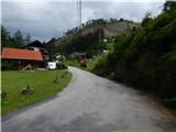 4
4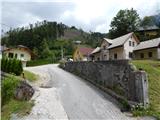 5
5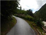 6
6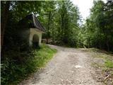 7
7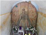 8
8 9
9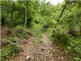 10
10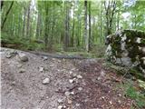 11
11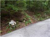 12
12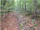 13
13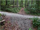 14
14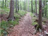 15
15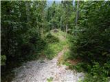 16
16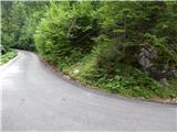 17
17 18
18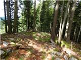 19
19 20
20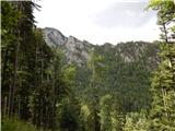 21
21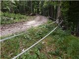 22
22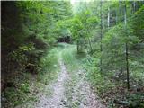 23
23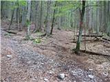 24
24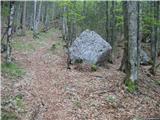 25
25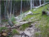 26
26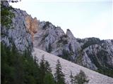 27
27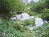 28
28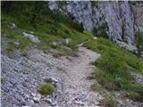 29
29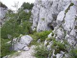 30
30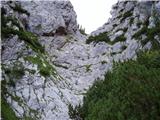 31
31 32
32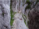 33
33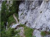 34
34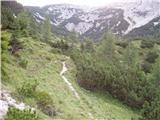 35
35 36
36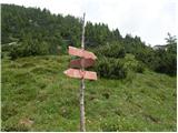 37
37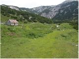 38
38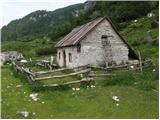 39
39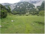 40
40 41
41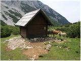 42
42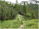 43
43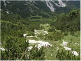 44
44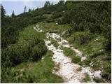 45
45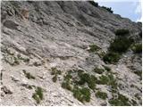 46
46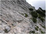 47
47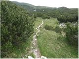 48
48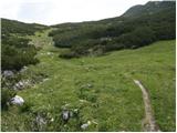 49
49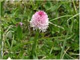 50
50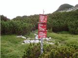 51
51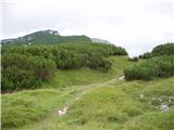 52
52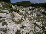 53
53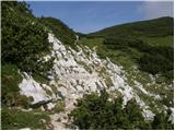 54
54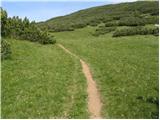 55
55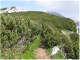 56
56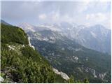 57
57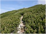 58
58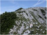 59
59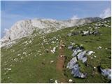 60
60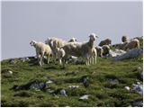 61
61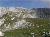 62
62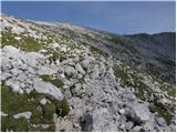 63
63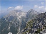 64
64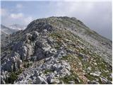 65
65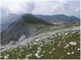 66
66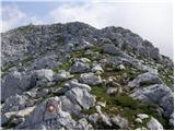 67
67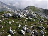 68
68
Discussion about the trail Kokra (Podlebelca) - Kalški greben
|
| mvolk24. 09. 2008 |
Super planinski izlet. Moje mnenje je, da pot ni niti delno zahtevna. Nadmorsko višino se relativno zlahka premaga, ker se, razen začetnega vzpona, dvigujemo počasi, in predvsem v čudoviti naravi. Ko enkrat pridemo do Dolgih njiv, je pot do vrha precej položna in razgledna. V soboto, 20.9., nisva s kolegom na celotni poti srečala nobenega planinca... samo črede gamsov. Priporočam.
|
|
|
|
| anze r6. 09. 2010 |
Koliko je aktualen podatek da se je rušje na stezi pod planino Dolga njiva močno zaraslo?
So markacisti stanje že sanirali?
|
|
|
|
| Gorska rožica6. 09. 2010 |
5.9.2010 - včeraj smo šli tam in je pot normalna .
|
|
|
|
| roker62. 04. 2012 |
Pot ni zahtevna je pa v spodnjem delu zelo dolgočasna, sploh po melišču. Pri jeklenicah postane zanimivo od Dogih njiv naprej pa poplačano s čudovitim razgledom. Skoraj vedno piha.Teden dni nazaj v spodnjem delu se predira pri jeklenicah skoraj kopno, ni težav.
|
|
|
|
| nusa15. 11. 2012 |
Po opisani poti sem bila danes na Kalškem grebenu. Pot je v celoti kopna.Bil je čudovit sončen dan.
|
|
|
|
| vito635. 01. 2013 |
Danes bil namenjen na Kalški greben. Poti ne poznam  ,markacije so bile zasnežene,močan veter je sproti brisal sledi mojih predhodnikov  . Nisem uspel priti gor ,saj sem parkrat zašel,kar mi je pobralo veliko časa, zato sem se skoraj tik pod vrhom raje obrnil,da sem se varno in pravočasno vrnil v dolino. Kalški greben me bo počakal do pomladi  .
|
|
|
|
| alpin2. 10. 2013 |
Zanima me ,če obstaja možnost ,da s te poti preidemo na pot, ki vodi na Kokrsko Sedlo oz.(pl.Suhadolnik).
Ima kdo mogoče gps sled.?
L.P.
|
|
|
|
| enjanez2. 10. 2013 |
Pred leti sva s kolegom prehodila to pot. Kje sem dobil opis se ne spomnim. Povezave se da ugotoviti na zemljevidu. Pod kmetijo Roblek se odcepi gozdna cesta, ki vodi skoraj vodoravno proti severu. Na koncu se cesta spremeni v kolovoz.
Ko pride do Noškarjevega grabna, je potrebno zaviti navzgor. Po celodnevni poti je 150 višinskih metrov kar zahtevnih. Navzgor se napreduje, dokler se na drugi strani grabna ne vidi cesta.
Ta cesta vodi do parkirišča pod Suhadolnikovo kmetijo, kjer sva pustila avto.
Da bi bili ob poti kakšni možici, se ne spomnim. Brez težav sva se orientirala po zemljevidu.
Še moj opis poti:http://www.enjanez.net/Hribi/H10/joHr100823.htm
|
|
|
|
| alpin3. 10. 2013 |
Hvala "enjanez" za odgovor. Včeraj sem se kar s kolesom zapeljal v dolino Kokre in malo povprašal domačine,kako je kaj s to povezavo od cerkvice v Kokri do kmetije Suhadolnik, oz.do poti ki vodi na Kokrsko sedlo.Dobil sem skoraj identičen odgovor kot si ga opisal. Je pa sedaj vprašanje ,če se mi po tej poti sploh splača podati in ni hitreje,če pot nadaljujem po glavni cesti (3.7km) do odcepa ki vodi na kmetijo Suhadolnik. Sedaj vam moram razložiti zakaj sploh iščem to povezavo. S kolegom imava v načrtu ,da bi se 3x podala na Grintovec in z njega odletela s padali v Kokro ,Jezersko in nazadnje v Kam. Bistrico ,obratne točke pa naj bi bile cerkvice.Vsega skupaj naj bi naneslo pod (10h)Zato iščem najhitrejšo povezavo od cerkvice v Kokri do vrha Grintovca.  
|
|
|
|
| Marko Torelli31. 07. 2016 |
Včeraj, 30.7.2016 po tej poti. Pot je še vedno zelo neobljudena, kot že piše Stritar v Grintovcih, Južni pristopi. Na nekaterih delih nekoliko zaraščena, vendar dobro sledljiva. Markacije številne, le nekoliko obledele; veliko tudi možicev.Dobiš občutek, da bi prej srečal medveda, kot kakšnega planinca. Od Robleka do planine vseskozi lepo napeta. Studenec na planini "dela" za obnovitev zalog. Priporočam za uživanje gorskega miru. Če ne štartate prav v Podlebelci in se peljete proti kmetu Robleku, jo lahko "vdanete" na zadnjem ovinku, preden se začne travnik pod domačijo. LP
|
|
|
|
| Tejama25. 12. 2023 12:09:19 |
Pozdrav. A veste kakšne so razmere? Hvala za info.
|
|
|
|
| di10. 09. 2025 03:02:42 |
Razmere so ok, glede na včerajšnjo hojo. (Sveže porezanega je bilo tudi nekaj vejic rušja.)
Do slike 17 je možno priti tudi z avtom: dobršen del je asfaltirana cesta, v bolj položnih delih je makadam (kar občutno skrajša turo in je časovno konkurenčna tistim turam pod 4 ure. Poleg tega je v prvem delu zaradi več hoje skozi gozd bolj senčna).
Za en avto naj bi bilo možno parkiranje ob cesti slike 17; za kar nekaj avtomobilov pa malce nižje (par sto metrov) nižje ob cesti.
|
|
|