Lago di Fedaia - Punta Penia (Marmolada) (Via ferrata Marmolada)
Starting point: Lago di Fedaia (2098 m)
| Lat/Lon: | 46,4574°N 11,8649°E |
| |
Name of path: Via ferrata Marmolada
Time of walking: 5 h
Difficulty: very difficult marked way
Ferata: B/C
Altitude difference: 1245 m
Altitude difference po putu: 1450 m
Map: Tabacco 7
Recommended equipment (summer): helmet, self belay set, ice axe, crampons
Recommended equipment (winter): helmet, self belay set, ice axe, crampons
Views: 33.518
 | 4 people like this post |
Access to the starting point:
First, drive to Cortina d'Ampezzo (you can get here via Border crossing Rateče or Predel to Trbiž / Tarvisio and then take the motorway towards Udine to the Tolmezzo exit. From Tolmezzo, follow the road towards Ampezzo and the Passo della Mauria mountain pass. The road then descends and leads to a crossroads where you turn left (possibly right) towards Cortina d'Ampezzo. At all subsequent junctions, follow the signs for Cortina d'Ampezzo and then follow the signs for the Passo di Falzarego Alpine Pass. In the first part of the ascent towards the Falzarego Pass, you will reach a crossroads where the signs for Passo di Giau (2233 m) and Marmolado point to the left. After the Giau Pass, the road starts to descend and we follow it through the settlements in the lower part towards Marmolada or Passo di Fedaia. The road then starts to climb again and leads us higher up to the Fedaia Pass, which we follow to the other side of the lake, where we park in the parking lot near the Rifugio Castiglioni Marmolada hut.
Access from Primorska: Take the motorway towards Padua, but only as far as the motorway junction, where we continue towards Veneto and Belluno. Near Belluno, the motorway ends and we follow the road towards Belluno, where we turn right at a major junction towards Agordo. From there, follow the frequent signs for the Marmolada or Passo di Fedaia. When you reach the pass, follow the road to the west side of the lake, where you turn left onto the road over the dam and park in the large parking lot above.
Path description:
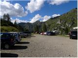
From the parking lot, take route 606, following the signs "Punta Penia, Rif. Pian dei Fiacconi". The path initially climbs through sparse dwarf pines and bushes slightly to the left of the cable car leading to the Pian dei Fiacconi hut. The path then leads out of dwarf pines and soon turns right to the west side of the cable car. Here the path begins to climb southwards under the precipitous walls of the Col di Bousc (2494m). A few more climbs in the keys follow and we are at the saddle Col di Bousc (2438m). At the saddle where the crossroads are, continue left in the direction of the Pian dei Fiacconi hut.
We continue climbing on rocky terrain towards the south-east. From the ascending path, you can see magnificent views towards Marmolada and also to the north, where Piz Boe stands out. As we approach the cable car again, the path turns slightly to the right and there is only a short, easy climb to the hut, which is usually very crowded.
From the hut, go back a few metres and at the crossroads take route 606, following the signs "Via Ferrata, Forcella Marmolada". The trail continues for some time in a gentle downhill slope to the west. The path descends approximately 200 metres as it crosses the slope. On the descent you will cross a stream and a small waterfall can be seen just off the path. The path then starts to climb again and turns left, leading to the first fairly level snowfield. The snow is usually frozen in the morning, so it is advisable to use snowshoes here. After the first snow slope, there is a short climb up a less visible track marked cairns, and then we start to climb up a slightly steeper snow slope towards the Forcella Marmolada notch. The last few metres are quite steep and some caution is needed. From the end of the snowfield, there is a short climb along a ropeway to the Forcella Marmolada notch, where the path from the south joins.
At the notch, continue left and start climbing up the steep slope using the crampons. The path then turns slightly to the right and briefly follows the ridge, where a view of the south side opens up. The path then follows the ridge and then climbs along the cliff for some time on a series of rocks and wedges. This path leads us back to the well protected ridge, which we then climb eastwards. In the last part, the path becomes less steep and a short traverse of a sloping snowfield follows. The snow is usually so soft here that the use of snowshoes is not strictly necessary.
There is a short, easy climb up to the shelter, where the normal route over the glacier joins from the left. From here, it's just a few steps of easy walking to the highest peak in the Dolomites.

Pictures:
 1
1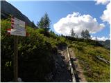 2
2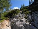 3
3 4
4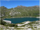 5
5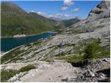 6
6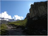 7
7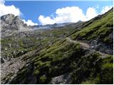 8
8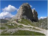 9
9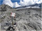 10
10 11
11 12
12 13
13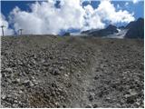 14
14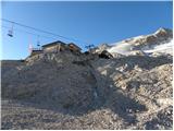 15
15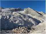 16
16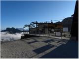 17
17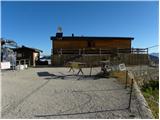 18
18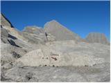 19
19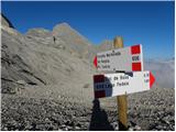 20
20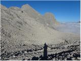 21
21 22
22 23
23 24
24 25
25 26
26 27
27 28
28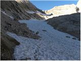 29
29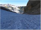 30
30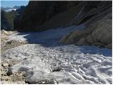 31
31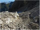 32
32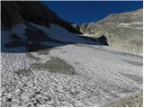 33
33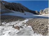 34
34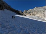 35
35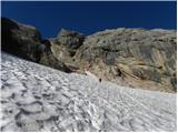 36
36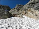 37
37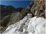 38
38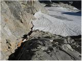 39
39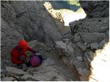 40
40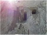 41
41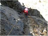 42
42 43
43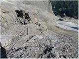 44
44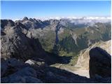 45
45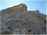 46
46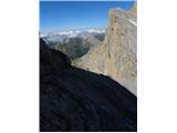 47
47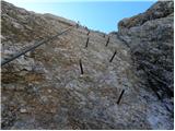 48
48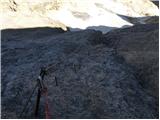 49
49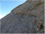 50
50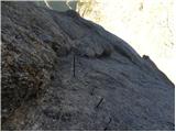 51
51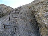 52
52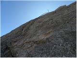 53
53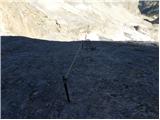 54
54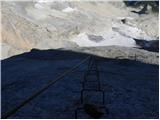 55
55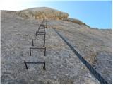 56
56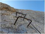 57
57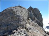 58
58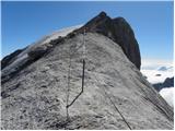 59
59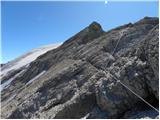 60
60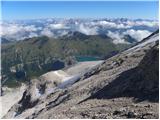 61
61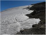 62
62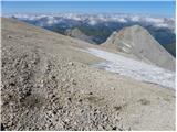 63
63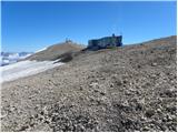 64
64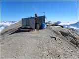 65
65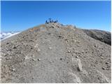 66
66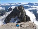 67
67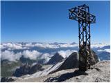 68
68
Discussion about the trail Lago di Fedaia - Punta Penia (Marmolada) (Via ferrata Marmolada)
|
| bdolmovi28. 05. 2010 |
Prekrasne slike in čudovita tura na to visoko goro.Avtorju vse čestitke za tako lep prikaz,Bojč. 
|
|
|
|
| jedriličar3. 08. 2010 |
U nedelju, 01.08.2010 napravili uspon na pta Peniu preko ferrate. Sve onako kako je opisano gore. Bilo malo novonapadalog snijega pa je na ferrati trebalo više opreza, bilo je klizavo, a i bila je gužva, penjali smo u koloni. Snežišča dosta mekana, obavezno koristiti dereze inače preklizavo, ali bez poteškoća se može proči. Cepin nije neophodan, ali poželjan, naročito za silaz po ledenjaku. Vrijeme bilo prekrasno, pogledi naokolo fantastični, naročito na Piz Boe i Tre Cime. Potrošeno vrijeme na uspon cca 4 sata (zbog gužve na ferrati se nije moglo brže prenjati) od gornje stanice žičare do vrha. Silaz po via normale, dakle po ledenjaku, staza dobro utabana i bez problema, sigurno zaobilazi pukotine. Dereze obavezne. Silaz vrh-gornja stanica žičare oko 1,30 h, zatim još 1 h do lago Fedaia, sveukupno oko 2,30 h. Savjet svima: za uspon memojte ujutro gubiti vrijeme, popnite se žičarom (cijena 4,50 Eur jednosmjerno) i uštedite cca 2 sata penjanja, a i snijeg če biti tvrđi bilo za uspon po ledenjaku, bilo za prilaz ferrati. Tko baš želi napraviti tu stazu od jezera, neka se spusti po njoj, kao i mi. I još: za spavanje ima jedan parking na lago Fedaia blizu donje stanice žičare gdje se parkiraju kamperi, tamo se mogu i šatori staviti, nitko Vas neće smetati i tjerati. Tako ste odmah ujutro na prvoj žici za gore. Žica radi službeno od 9, makar prva je krenula već u 8. Prekrasna tura, nije jako zahtjevna (naravno uz odgovarajuću opremu i znanje), preporučam svakome za napraviti.
|
|
|
|
| Vedran2. 06. 2011 |
vrlo lijepo prikazan, i slikovito opisan put, mislim da cu i ja krenut prema gore oko 10.7. ove godine, puno ste mi pomogli sa informacijama. Hvala 
|
|
|
|
| adry3. 09. 2015 |
V petek 28.8.sva v prelepem vremenu in prekrasnih razgledih uživala mogočnost Marmolade. Ferata je dobro varovana, ušla sva gužvi tako, da sva bila med prvimi na žičnici s košarami(10 eur povratna), ki pa je žal zamujala krepko čez pol ure(so popravljali in zagnali so jo po 9 uri). Najlepši je vrhnji del Marmolade, ki je zravnan, kopen in zelo prostoren. Na vrhu srečala dva gorenjca z vzponom brez žičnice(bravo).
Zgornji ledenik ravno prav odtajan,hoja odlična. Škrbina do spodnjega ledenika je dobro varovana. Spodnji ledenik na sredini težje pristopen zaradi precejšnje razpoke, katero moraš preskočiti. Tudi drsečega šodra je precej v spodnjem delu ledenika. Na splošno nepozabno doživet dan.
|
|
|
|
| enrique2. 09. 2018 |
Bi mogoče šel kdo en vikend v septembru na Marmolado? Bi mi prav prišla družba.. 
|
|
|
|
| msle21. 08. 2019 |
ali je kdo bil na marmoladi via ferrata-razmere?
|
|
|
|
| trdi7720. 08. 2020 |
Ima kdo kakšne informacije o PUNTA PENIA(Marmolada)?
Kakšne so razmere? Je kaj razpok na ledeniku, morda kaj snega v plezalne delu?
Lp, Uroš
|
|
|
|
| A26. 08. 2020 |
Opravili vzpon prejšnji vikend. razpok ni bilo, snežišče mogoče obiti po spodnjem delu, uvodni del ferate drsi zaradi mokrih skal naprej brez problema. Za navzdol čez ledenik, večje razpoke. Priporočljivo imeti vrv za zadnje 3-4m spusta na ledenik
|
|
|
|
| gorskilev8025. 09. 2025 14:13:38 |
V soboto opravili vzpon po tej poti. Ledenik pred vstopom v plezalni del poti je dejansko "ledenik" v pravem pomenu besede. Septembra namreč snega na njem ni več je samo še živi led in drobir. Potrebna je previdnost pri prečenju in nekaj iznajdljivosti pri iskanju najbolših prehodov.
Drugače je pot čudovita!
|
|
|