Starting point: Mallnitz (1215 m)
| Lat/Lon: | 47,0148°N 13,1853°E |
| |
Time of walking: 7 h
Difficulty: difficult marked way
Altitude difference: 2037 m
Altitude difference po putu: 2100 m
Map:
Recommended equipment (summer): helmet
Recommended equipment (winter): helmet, ice axe, crampons
Views: 22.548
 | 4 people like this post |
Access to the starting point:
From Spittal, drive towards Lienz, but only as far as Möllbrücke. In this village you will see signs for Mallnitz and the Alpine road to Großglockner. Follow this road to Obervellach, where the signs for Mallnitz point to the right. After the village, the road starts to climb steeply and after a few kilometres of climbing, it leads to the alpine town of Mallnitz. Continue for a few kilometres to the bottom station of the cable car to Ankogel (Ankogelbahn), where you park in a large parking lot.
Path description:
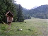
At the end of the parking lot, you will see signs on the left hand side of the road directing you left to the ski area. The trail then climbs quite steeply up the ski slope and occasionally passes through the forest or along a mountain road. If you stray from the marked trail somewhere along the way, you can also follow the mountain road or the ski slope. After a good hour's walk from the starting point, you will reach the intermediate station of the cable car at which the Hochalmblick hut is located.
Just above the hut there are signs directing you further along the ski slope. The path first runs along the grassy slopes on the left side of the cable car, then turns slightly to the right and crosses a few streams to reach the right side of the cable car. The trail then ascends parallel to the cableway towards the Etschlsattel saddle (2546m). Shortly before the saddle, the trail from the Mindener Hütte joins from the left. At the saddle, turn left and there is only a short climb to the top station of the cable car.
From the top station, continue straight on in the route Hannoverhaus, and to the right there is a direct route, a few minutes shorter, towards Ankogle. From the top cable car station, it is about 15 minutes' climb to the hut.
At the hut, follow the signs for Ankogel. First descend slightly to a small saddle where you turn right, the left path leads to the peaks of Grauleiten and Plattenkogel. A few metres below the saddle, you will come to a crossroads again, where the direct path from the upper cable car station joins from the right. This time go left and then cross the southern slopes below the two peaks in a gentle descent. When you reach the signposts, continue straight on towards Ankoglu. After a few minutes walk, you will come to the signs again and turn left to follow the signs for Ankogel. After a short climb up a relatively gentle slope, the path turns slightly to the left and starts to climb along the Lassacher Kees glacier. The glacier is relatively low-lying and has no crevasses. The trail then turns left again and climbs towards the Radeck Scharte. At the stump, turn right and follow the rocky ridge to reach the summit of Kleine Ankogel. The ridge from the notch to the summit is slightly exposed in places but in dry conditions it is not a problem.
From the summit, turn left and follow the main ridge. The path to the top of Ankogel then follows the right side of the ridge and becomes slightly more difficult. The eastern slope of Ankogel is quite steep and in some places dangerous for slipping. Care should also be taken as the granite slabs on which you climb are not all the most stable. Towards the top, the path then turns slightly to the left and leads to a cross and a registration box. The real summit is reached by continuing along the exposed ridge for a few dozen metres from the cross.

Pictures:
 1
1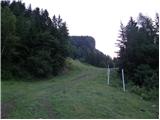 2
2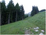 3
3 4
4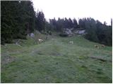 5
5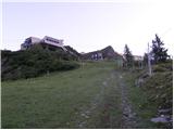 6
6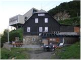 7
7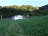 8
8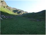 9
9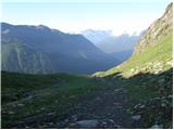 10
10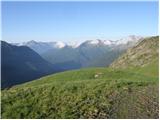 11
11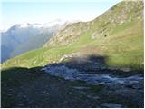 12
12 13
13 14
14 15
15 16
16 17
17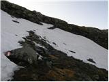 18
18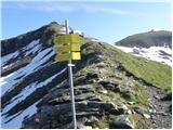 19
19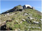 20
20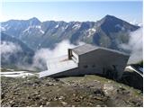 21
21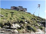 22
22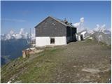 23
23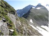 24
24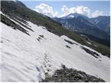 25
25 26
26 27
27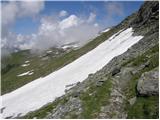 28
28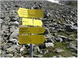 29
29 30
30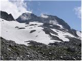 31
31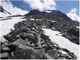 32
32 33
33 34
34 35
35 36
36 37
37 38
38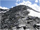 39
39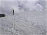 40
40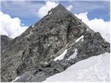 41
41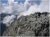 42
42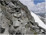 43
43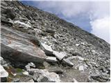 44
44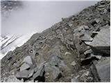 45
45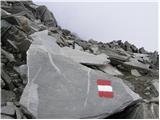 46
46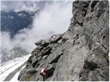 47
47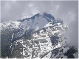 48
48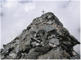 49
49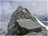 50
50
Discussion about the trail Mallnitz - Ankogel
|
| triglavski8. 07. 2008 |
Lani 25. septembra vreme ni obetalo najbolje, ker pa je bilo že vse spakirano sem se že popoldan odpravil na pot Bovec - Trbiž - Spittal - Obervellach - Mallnitz. Večer v Mallnitzu je deloval precej zapuščeno, zato sem odšel kmalu na počitek. Glede na vremensko napoved, da sprva nekako še bo, sem štartal že pred 4. jutranjo uro. Od spodnje postaje žičnice sem jo ubral kar po smučišču in delno po cesti proti koči Hochalmblick (med tednom zaprta)ter seveda takoj naprej. Sicer dolgočasno pot sem si krajšal z opazovanjem neba in razvojem oblačnosti pa tudi iskanjem markacij. Ob prvem svitu sem prišel do zgornje postaje žičnice ter skočil še do koče Hanoverhaus, ki je sicer malo iz poti. Tudi ta je seveda v tem času že zaprta, našel pa sem bivak v spodnjem prostoru, ki naj bi bil namenjen le v nuji, ima pa 6-8 ležišč in peč na drva. Do tu 2.45 h. Seveda takoj nadaljujem po poti 502 sprva rahlo navzdol in naokoli vse do križišča, kjer pot (520) končno zavije gor proti. Sneg prične nekje na okoli 2600 m, sprva le snežne zaplate, nad 2700 m, to je na robu morene pa se že najde povezan, seveda pa je še vedno možno tudi po kopnem. Sneg drži, tako, da je hoja lagodna. Vršni del je v tem času že zagrnila megla, tako kot sosede naokoli, le dol proti dolini je čisto. Na Malem Ankoglu si navežem dereze in palice zamenjam s cepinom. Sledim gazi predhodnikov izpred nekaj dni, ki pa so bolj rinili v kopne skale, kot pa se držali označene poti, zato jo ubiram po svoje po snegu. Kmalu dosežem križ, vendar nadaljujem še tistih nekaj metrov po grebenu, kjer dosežem najvišjo točko. Pot od zgornje koče do vrha opravim v 2 urah. Zatem se vrnem do križa, celo megla se počasi razkadi, za kar je zaslužen rahel SV veter. Po kakšne pol ure postanka na vrhu se obrnem v nasprotno smer in ob 13.30 sem že v sončni dolini. In na tako znani gori tistega dne razen nekaj gamsov in svizcev nisem srečal nikogar.
|
|
|
|
| NEIC00825. 08. 2008 |
Ali ni nujno najeti vodnika za obisk gora v Avstriji?
|
|
|
|
| Mravlja19839. 07. 2009 |
Pozdravljeni.
Zanimam se za omenjeno turo. Zanima me, kako je s tem ledenikom. Je možno poleti na vrh brez derez in cepina? Sicer piše, da poleti ni treba a se rajši prepričam. Kako pa je s čelado v Avstriji? Je obvezna?
Hvala in LP
|
|
|
|
| čemšeničan9. 07. 2009 |
Na Ankoglu sem bil 21.7.2007,takrat tistega leta zima ni bila obdarjena z obilo snega,s seboj pa sem vseeno imel dereze in cepin potreboval nisem ne derez ne cepina prečenje po ledeniku se je dalo brez,toda previdno,bil sem brez čelade.Za letošnji vzpon ti priporočam,da vzameš s seboj dereze in cepin,ker je v visokogorju še veliko snega,mislim,da med malim in velikim Ankoglom nebo šlo letos brez derez in cepina.Za čelado pa se odloči sam,takrat jo ni imev nihče ne midva,ki sva bila tisti dan edina Slovenca na vrhu ne Avstrijski planinci.Ko boš opravl turo mi pa sporoči.Pa srečno pot ti želim.
|
|
|
|
| nisa20. 07. 2010 |
Pozdravljeni,
koliko časa porabimo od Ljubljane do spodnje postaje žičnice, in koliko od zgornje postaje do vrha Ankogla. Če je kdo bil letos tam, prosim, naj mi napiše kakšne so razmere: sneg itd...
Lep pozdrav!
|
|
|
|
| mmalok21. 07. 2010 |
Od zgornje postaje do vrha smo mi v sobot 17. porabili 2,5 uri, prečiš le eno snezišče (ledenik), ki pa ima gaz in ni porblematičen, pri povratku pa lahko uporabiš ledenik za spust (kar konkretno skrajša čas sestopa). Stanje s slikami na http://www.pdmaticams-drustvo.si pod album slik. Želim vam vsaj takšne razmere kot smo jih imeli mi. LP
|
|
|
|
| VanSims29. 08. 2011 |
Prva žičnica gre gor zjutraj ob 8.30, zadnja v dolino ob 16.00(stanje avgust 2011).
Zaključni greben je tehnično zahteven, izpostavljen in niti pod razno ni za vrtoglave.
Kljub temu turo toplo priporočam vsem, ki že imajo izkušnje z zahtevnimi potmi(ne nujno zelo zahtevnimi), naj pa to ne bo prva zahtevna pot.
Kar se tiče ledenika, prečimo njegov gornji ostanek. Palice so v veliko pomoč, lahko pa gremo tudi okoli po skalah, a previdno(nestabilne, krušljive). Stanje: poletje, 2011.
|
|
|
|
| Okmodko3. 09. 2011 |
Kolikšna je pa kaj cena žičnice?
|
|
|
|
| VanSims4. 09. 2011 |
Sem tudi pozabil povedati, da ne obratuje v ponedeljek in torek
|
|
|