Moravče - Limbarska gora (via Gabrje)
Starting point: Moravče (379 m)
| Lat/Lon: | 46,1357°N 14,7446°E |
| |
Name of path: via Gabrje
Time of walking: 1 h 35 min
Difficulty: easy marked way
Altitude difference: 394 m
Altitude difference po putu: 415 m
Map: Ljubljana - okolica 1:50.000
Recommended equipment (summer):
Recommended equipment (winter):
Views: 17.601
 | 2 people like this post |
Access to the starting point:
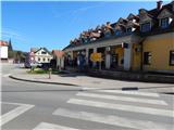
a) From the motorway Ljubljana - Maribor, take the exit Krtina and then continue in the direction of Moravče. At Moravče, turn left in the direction of Limbarska gora and Sveti Mohorje, then park in a suitable place near the junction. A larger parking lot is on the other side of the junction near the parish church.
b) From the direction of Zasavje, take the first exit to Izlake and from there continue towards Moravce. At Moravče, at the crossroads near the church, turn right in the direction of Limbarska gora and Sveti Mohorje. Park in a suitable place near the crossroads. There is a larger parking lot on the other side of the junction near the parish church.
Path description:
From the crossroads near the church, continue along the asphalt road or pavement in the direction of Limbarska gora and Sveti Mohorje. Soon you will arrive at a marked crossroads where the marked path to Limbarska gora splits into two parts.
The road on the left continues to Limbarska gora through the village of Serjuče, while we continue slightly right in the direction of Limbarska gora through Gabrje. We continue walking on the pavement for a while, and soon the pavement ends behind the fire house of PGD Moravče. A little further on, Moravče ends, and the road continues to lead us through meadows with a view that reaches all the way to the highest peaks of the Kamniško Savinjske Alps. The road, which was still slippery at first, soon starts to climb and for a while turns into a forest. After the village of Zalog, the road to Straža branches off to the right, and then the forest ends under the power line, and the road leads us to the village of Gabrje pod Limbarsko gora. Here, the path first leads past the sign (cross) and the stonemasonry to the right-hand bend, at which there is a chapel. At this bend, leave the main road and turn left onto a road with speed bumps and follow it to the next chapel.
At this chapel, first go a few steps to the left and then you will see a red mountain sign pointing to the right into the forest. We climb through the forest for a few minutes, then we reach an asphalt road, which we follow to the right, and we walk along it until we reach a left turn. At this bend, the marked path continues straight ahead, initially along a nearby fence. The path, which is at first a little overgrown, son turns left and begins to climb through the forest. At a higher level, cart track continues through the forest for a short distance, then begins to climb cross-country through a large hayfield. When the crossing ends, you reach a small hamlet (Globočica), where you continue left along the wide cart track or worse road. The road turns right at a higher altitude and then lies slightly further on at the next hamlet. An easy walk past a few houses follows, then continue along the slightly steeper cart track, which turns into an asphalt road higher up, which joins the main asphalt road leading to the top of Limbarska Gora. Follow the road up past a few more houses and then, with the views getting better and better, quickly climb up to St Valentine's Church and the guesthouse on Limbarska Gora.

Pictures:
 1
1 2
2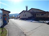 3
3 4
4 5
5 6
6 7
7 8
8 9
9 10
10 11
11 12
12 13
13 14
14 15
15 16
16 17
17 18
18 19
19 20
20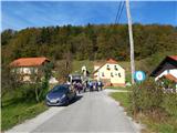 21
21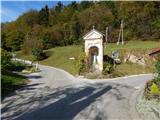 22
22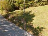 23
23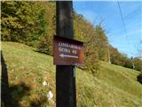 24
24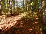 25
25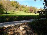 26
26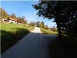 27
27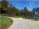 28
28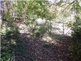 29
29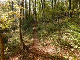 30
30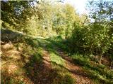 31
31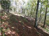 32
32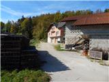 33
33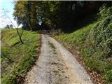 34
34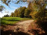 35
35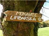 36
36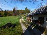 37
37 38
38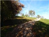 39
39 40
40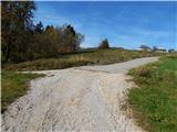 41
41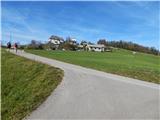 42
42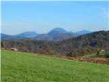 43
43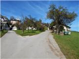 44
44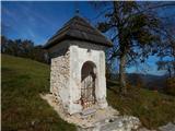 45
45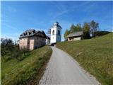 46
46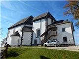 47
47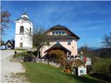 48
48 49
49
Discussion about the trail Moravče - Limbarska gora (via Gabrje)