Starting point: Murova (590 m)
| Lat/Lon: | 46,4386°N 14,0495°E |
| |
Time of walking: 1 h 10 min
Difficulty: easy unmarked way
Altitude difference: 435 m
Altitude difference po putu: 435 m
Map: Karavanke - osrednji del 1 : 50.000
Recommended equipment (summer):
Recommended equipment (winter): ice axe, crampons
Views: 2.423
 | 3 people like this post |
Access to the starting point:
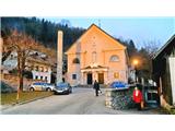
From the motorway Ljubljana - Jesenice take the exit Lipce (Jesenice East), where you turn right towards Jesenice. At the first traffic light at Slovenski Javornik turn left towards the town centre. At the seventh traffic-lighted intersection in turn, turn sharp right and drive for only a few 10 m, then turn left uphill towards the church on Murova. Park nearby.
Path description:
From the starting point, follow the road as it climbs uphill to the east, passing a few houses on the left side of the church. When you get a little higher up, round a left-hand bend, you will see a bench on the left-hand side of the road and a short flight of steps which you can climb up the slope. Here, take the logging trail turning left and start climbing. Soon after logging trail turns right and splits slightly, continue right along the wider main logging trail, which leads into denser woods a few steps higher up, past a disused power line. Then, facing east, climb the intermittently sloping logging trail, which crosses a stream beyond the open part of the forest (view Jesenice), narrows and climbs a little more steeply. A little higher up, when the slope eases briefly, the path leads to a less obvious crossroads, where it turns sharp left (straight overgrown path, steep grooved path down to the right), onto logging trail, which leads uphill, back to the north-west, across a large clearing. After crossing the clearing for a few minutes, the occasionally overgrown logging trail leads back into the forest. Shortly afterwards, on a sloping section, we come across a sharp right fork logging trail, which we take (straight ahead, the abandoned quarry of the Trbiške breccia), and continue on logging trail uphill to the east. This soon turns sharp left, and we continue straight on the older (currently less used) logging trail. After a while, the path leads to an open, clear-cut part of the forest, semicircularly surrounded by the hillside. The path that continues our route is on the other side of this area (slightly to the right, below the slope with the rocks). However, as there is a lot of fallen trees ahead, we have to go around them on the right-hand side. When we do this and come to the bottom of the slope with some rocks, we come to a path that climbs up the slope. After a short climb, this leads to a path that runs along the edge of the southern slope of Mirca. Take a sharp left, and continue towards the summit. Here, the path curves slightly to the right through the forest and leads us a little higher up to a slightly steeper ascent, where it still more or less runs along the edge of the south-western slope of the hill. Higher up, on the grassy part, we get some views of the Julian Mountains from Triglav, and along the way we also find an improvised bench where we can rest. Just a little higher up, the path leaves the edge, turns slightly right, and briefly crosses the south-eastern slope to the north. Before leading to the eastern, shadier slope, the path turns almost perpendicularly left towards the summit (straight or slightly left - a barely visible cross path on the steep eastern slope). A little higher up, the path leads us again to the south-western edge of the hill, where we get some views towards the valley and Mežakla on the left, and a few metres off the path to Kahlkogel, Krvavka and Črni vrh on the right. After a moderate climb of a few minutes along the path along the edge, this leads us to the top of Mirca, where we encounter cairn. A partial view of the valley and the Ljubljanska basin can be obtained about 20 m before the finish, near the town, where a slightly larger beech tree grows along the steep edge on the left. Just a few metres to the left of this, and just as much lower down, on a steep slope, we have a view of the Ljubljana basin.

Pictures:
 1
1 2
2 3
3 4
4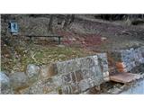 5
5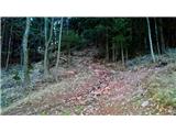 6
6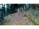 7
7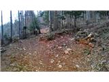 8
8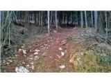 9
9 10
10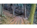 11
11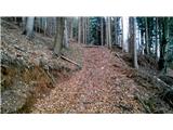 12
12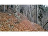 13
13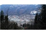 14
14 15
15 16
16 17
17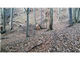 18
18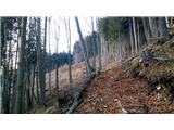 19
19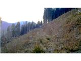 20
20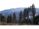 21
21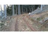 22
22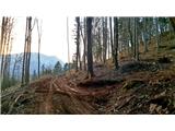 23
23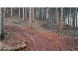 24
24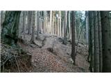 25
25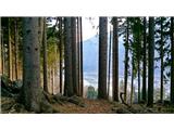 26
26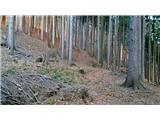 27
27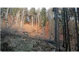 28
28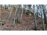 29
29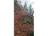 30
30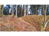 31
31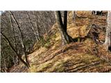 32
32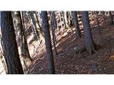 33
33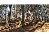 34
34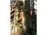 35
35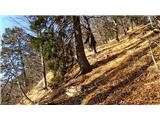 36
36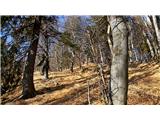 37
37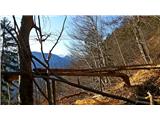 38
38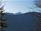 39
39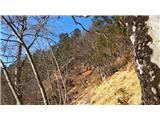 40
40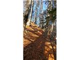 41
41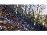 42
42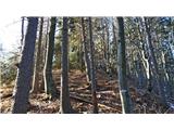 43
43 44
44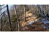 45
45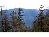 46
46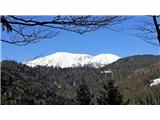 47
47 48
48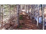 49
49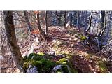 50
50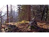 51
51 52
52 53
53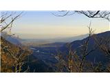 54
54
Discussion about the trail Murova - Mirca
|
| Majdag9. 02. 2015 |
....Veliko novih opisov poti si dodal v tvojo zbirko. Hvala, so v veliko pomoč, zelo dobro poznaš bližnjo in daljno okolico. Po tej poti sem že šla navzdol, kar na slepo. Nisem točno vedela kje se bo končala. Pa se je skoraj pred domačim pragom 
|
|
|
|
| heinz9. 02. 2015 |
Mirca mi je tudi kot cilj kar zanimiva. Kar zadeva obisk dokaj osamljena in zato še bolj privlačna. Na vrhu, v bližini omenjenega bukovega drevesa naletiš na več lukenj.. Ko sem zadnjič v eno posvetil in ob tem primaknil glavo bližje, sem začutil topel piš iz globine. Morda imajo s tem kaj opraviti pripovedke o jami. 
|
|
|
|
| Jusk1. 11. 2020 |
po včerajšnji daljši turi po Karavankah danes ena kratka na Mirco,sem pa šel gor po Rudni poti iz Murove na Zg.Pejce,potem pa po neoznačeni poti do vrha.. vredu pot,ni preveč zaraščena,je pa še fajn zaraščena pot dol proti Ukovi,po kateri sem se vračal.. sicer pa prijeten in osamljen vrh 
|
|
|