Passo Staulanza - Monte Pelmo
Starting point: Passo Staulanza (1766 m)
| Lat/Lon: | 46,4206°N 12,10467°E |
| |
Time of walking: 6 h 30 min
Difficulty: very difficult unmarked way
Altitude difference: 1402 m
Altitude difference po putu: 1530 m
Map: Tabacco 15 1:25.000
Recommended equipment (summer): helmet
Recommended equipment (winter): helmet, ice axe, crampons
Views: 6.646
 | 2 people like this post |
Access to the starting point:
Via Border crossing Rateče, take the road to Trbiž / Tarvisio, where you take the motorway towards Udine. Leave the motorway at the exit for Tolmezzo and follow the road to the above-mentioned place. From Tolmezzo, continue in the direction of Ampezzo and the Passo della Mauria mountain pass. The road then begins to descend and leads into the Cadore valley, where you turn left towards Cortina d'Ampezzo. Follow the signs for Cortina d'Ampezzo to Venas di Cadore. Shortly before the end of the town, turn left towards Forno di Zoldo. The road then leads over the Cibiana Pass into the Val di Zoldo valley, where it continues to the right towards the Staulanza Pass. Follow the ascending road until you reach the Staulanza Pass.
Path description:
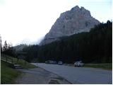
At the Passo Staulanza pass, head south-east following the signs "Rif. Venezia, Orme di Dinosauro". After a short climb through the forest, you reach a crossroads where you continue to the right, and to the left a path leads along the north side of Monte Pelmo towards the Forada notch.
The trail continues through the forest and crosses the slopes on the western side of Monte Pelma. The path ascends and descends gently, occasionally crossing boggy terrain and is often quite muddy. The path from the Pala Favera bivouac then joins from the right, and we continue to cross the slopes to the south-east. The trail then passes mainly through dwarf pines and leads to a marked crossroads.
Up to the left, the path leads under the Pelmetto summit walls, where dinosaur tracks are visible on a large boulder, and we continue straight on, following the signs for Rifugio Venezia. A second path joins us from Pala Favera on the right, and then our path turns slowly to the left and leads us to the southern slopes below the Monte Pelmo peak. In the final stretch towards the hut, the path leads us onto grassy slopes and we will soon see the hut in front of us. Just in front of the hut is a crossroads where the path to Monte Pena branches off to the right. From the crossroads it is only a short climb to the hut.
At the hut, continue left along the marked path, following the signs "Monte Pelmo, Via Normale". Initially, there is a short climb through dwarf pines, followed by a climb on scree which leads to the base of the eastern walls of Spalla Est.
Here the marked path turns right and we head left towards Ball's ledge. The entrance to the wall is marked with the sign 'Attacco'. From here on the route becomes very difficult and is only suitable for experienced mountaineers. Less experienced climbers will absolutely need an extra belaying with a rope. The route is also no longer marked with official markings. However, orientation is not too difficult as the route is marked with a number of cairns. After a short, easy climb, you reach the aforementioned Ball's ledge. The ledge is relatively long and will take about one hour to cross. The ledge is very exposed most of the time, so concentration is needed throughout. There are also a few short, tricky spots on the ledge where you have to climb a bit. The most difficult part is at the back of the ledge where you have to cross a very narrow passage called Passo del Gatto (cat passage). There is usually a rope across this part, which makes it a bit easier to cross.
The shelf then soon ends and leads to cirque between the peaks of Spalla Sud and Spalla Est. At the end of the shelf, continue to the right and after a short climb you reach the scree. We then climb up the scree for some time, all the while enjoying the magnificent views of the walls of the aforementioned Spalla Sud and Spalla Est. Higher up, the path becomes steeper and climbs up a rocky slope over some ledges. There are a few places where some really easy climbing is required. This route then leads to lower slopes with a view towards the summit of Monte Pelmo. Here the path turns left to the west and then climbs towards the ridge between the summits of Spalla Sud and Monte Pelmo. There may be a few snowbanks along the way, but they are relatively gentle and do not cause any problems. In the not so distant past, there was also a glacier.
When you reach the ridge, which is precipitous to the west, you have a view of Monte Civetta and the nearby Pelmetto. Continue right along the ridge and the path becomes a shade more challenging again. In a few places some easy climbing is required, and occasionally the ridge is a little exposed. In the last part, the ridge turns to the right and there is only a short climb to a very scenic summit.

Pictures:
 1
1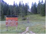 2
2 3
3 4
4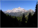 5
5 6
6 7
7 8
8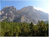 9
9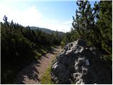 10
10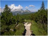 11
11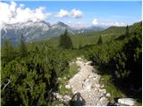 12
12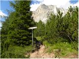 13
13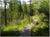 14
14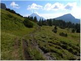 15
15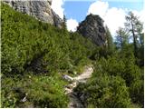 16
16 17
17 18
18 19
19 20
20 21
21 22
22 23
23 24
24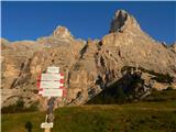 25
25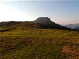 26
26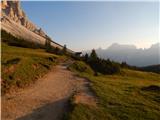 27
27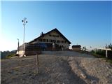 28
28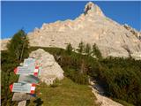 29
29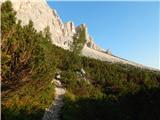 30
30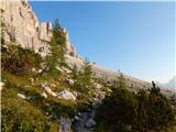 31
31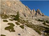 32
32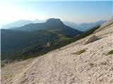 33
33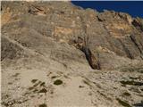 34
34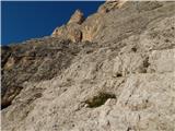 35
35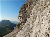 36
36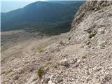 37
37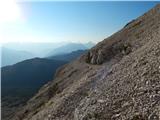 38
38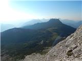 39
39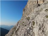 40
40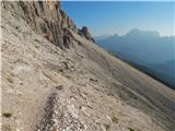 41
41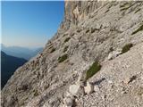 42
42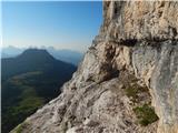 43
43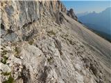 44
44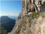 45
45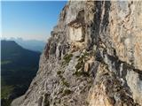 46
46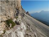 47
47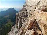 48
48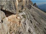 49
49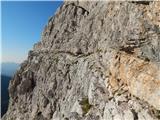 50
50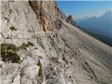 51
51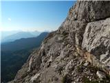 52
52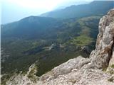 53
53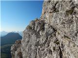 54
54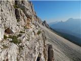 55
55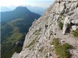 56
56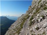 57
57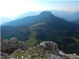 58
58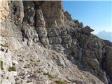 59
59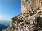 60
60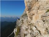 61
61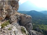 62
62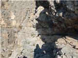 63
63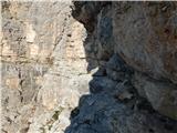 64
64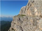 65
65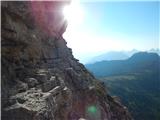 66
66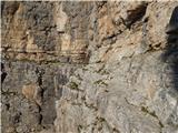 67
67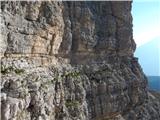 68
68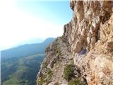 69
69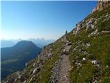 70
70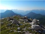 71
71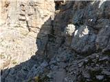 72
72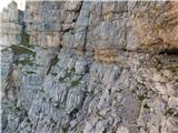 73
73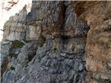 74
74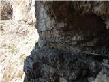 75
75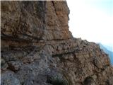 76
76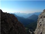 77
77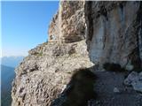 78
78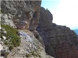 79
79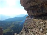 80
80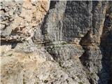 81
81 82
82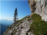 83
83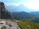 84
84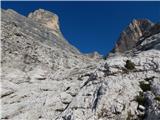 85
85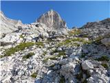 86
86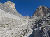 87
87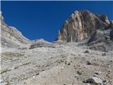 88
88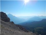 89
89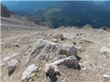 90
90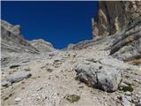 91
91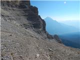 92
92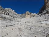 93
93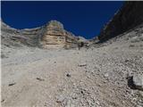 94
94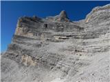 95
95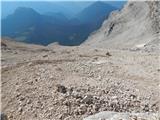 96
96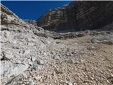 97
97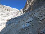 98
98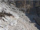 99
99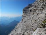 100
100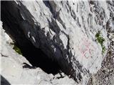 101
101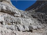 102
102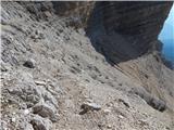 103
103 104
104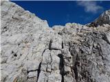 105
105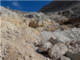 106
106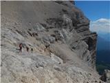 107
107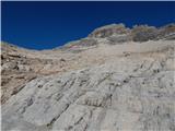 108
108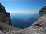 109
109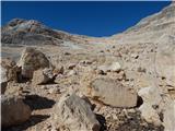 110
110 111
111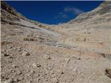 112
112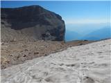 113
113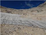 114
114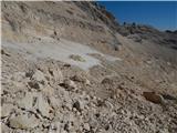 115
115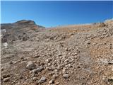 116
116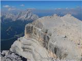 117
117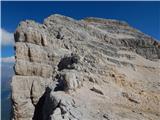 118
118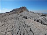 119
119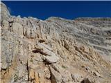 120
120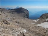 121
121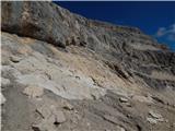 122
122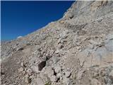 123
123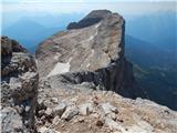 124
124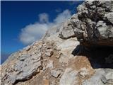 125
125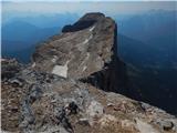 126
126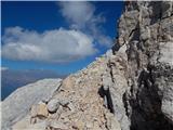 127
127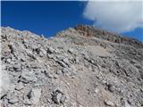 128
128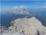 129
129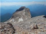 130
130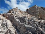 131
131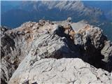 132
132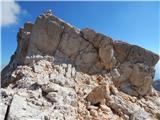 133
133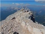 134
134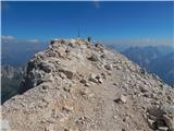 135
135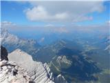 136
136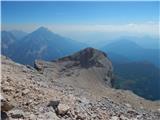 137
137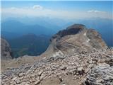 138
138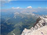 139
139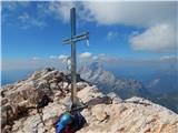 140
140
Discussion about the trail Passo Staulanza - Monte Pelmo
|
| VanSims7. 09. 2020 |
Najkrajši dostop do koče Venezia je iz Malga Ciauta. Zapeljemo se v Vodo di Cadore in od tam sledimo smerokazom za Rifugio Venezia ter parkiramo na parkiršču na planini, z Antelaom čez dolino tik pred nosom  Jaz, ki sem bolj zmerne sorte sem do koče Venezia porabil vsega dobro uro. Ballova polica seveda ni primerna za vrtoglave, sicer pa (razen za pristop nanjo) ni potrebno kakega pretiranega plezanja ampak zgolj izkušnje z izpostavljenimi potmi in 'pošlihtane' stvari v glavi.  Primerjal bi jo lahko morda z nekaterimi deli poti Mire Debelakove po Kanjavčevih policah. Kdor je to zmogel bo tudi Ballovo polico) ker se mi je zdela (razen seveda 'Mačjega prehoda') še skoraj lažja. Tik pod vrhom se je trba povzpeti po kratki (1-2 m) dvojki, ki ob pravilnem naskoku (malo proti desni) ne povzroča težav, navzdol pa je zaradi bližine prepada nekoliko psihološko zahtevna. 
|
|
|