Starting point: Pedrovo (350 m)
| Lat/Lon: | 45,8561°N 13,7649°E |
| |
Time of walking: 2 h
Difficulty: easy marked way
Altitude difference: 293 m
Altitude difference po putu: 370 m
Map: Goriška - izletniška karta 1:50.000
Recommended equipment (summer):
Recommended equipment (winter): crampons
Views: 7.969
 | 1 person likes this post |
Access to the starting point:
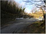
a) From the motorway Ljubljana - Koper, take the exit Senožeče and then continue driving towards the village of Štorje. At Štorje, turn right in the direction of Branik (straight ahead to Sežana and Trieste) and continue through the villages of Kazlje, Dobravlje and Ponikve. At the junction a few kilometres after Ponikve, turn right towards the village of Kobdilj (left Kopriva and Dutovlje), and from there follow the signs for Štanjel and Branik. After a few kilometres of descent, you arrive at Branik, where you take a sharp left in the direction of Komno. Continue past Rihemberk Castle (also Branik Castle), then take a sharp left turn off the road towards Komno and continue right towards the village of Pedrovo. From this junction, drive for about 2 km and then park in the marked parking lot just below the village.
b) First drive to Ajdovščina, then continue along the old road towards Nova Gorica. When you reach Potoče, leave the main road and turn left towards Branik. The road quickly leads you to a bridge over the river Vipava, after which it gradually becomes more winding. After a short climb, there is a short descent to reach Branik. When you reach the main road, continue left towards Koper and Sežana, and follow the road to a crossroads where the road to Komen branches off slightly to the right. Continue past Rihemberk Castle (also Branik Castle) and then, at a sharp left turn, leave the road towards Komno and continue right towards the village of Pedrovo. From this junction, drive for about 2 km and then park in the marked parking lot just below the village.
c) From Nova Gorica or its surroundings, drive to Dornberk and from there continue in the direction of Branika. At Branik, leave the main road towards Sežana and drive slightly to the right in the direction of Komno. Continue past Rihemberk Castle (also Branik Castle), then at a sharp left turn, leave the road towards Komno and turn right towards the village of Pedrovo. From this junction, drive for about 2 km and then park in the marked parking lot just below the village. d) First drive to Komen and from there continue to Branik. Towards Branik, drive to a sharp right turn where you turn left onto the local road towards the village of Pedrovo. From this junction, drive for about 2 km and then park in the marked parking lot just below the village.
Path description:
From the parking lot, continue along the road, which quickly leads to the Church of the Holy Spirit and the village of Pedrovo. When you reach the village, continue through the village, and then at the end of the village, continue along the wide, less marked cart track, which begins to climb moderately. Further on, cart track forks a few times, and we continue on the "main" or the one that is marked (although the signposting is quite sparse at times). Higher up, we reach a minor road (fire road - intervention road No 14P), which we start to descend moderately. A little further down the slope, we enter a small valley, where we continue right up the initially less distinct cart track. The way forward continues for a short time across the meadow, then quickly leads to the abandoned Nightingale's hut. Bypass the byte on the left and continue along the less well-marked cart track, which ascends and descends several times. At the crossroads, continue along the marked cart track, which in time leads to grassy slopes with a beautiful view that reaches the highest peaks of the Julian Alps. A slightly steeper descent follows and the path leads to Železna vrata, where we cross an asphalt road.
Continue along the dirt road towards Trstelj, and we walk along it to the power line. Just after the power line, leave the road and continue left along the marked path, which begins to climb steeply. After a few minutes, the path flattens out and turns into a scenic and relatively steep aspen slope. The path quickly returns to the forest and the path from Renč joins us on the right.
Continue left in the direction of the hut, along the path which soon splits into two parts. Continue slightly to the right along a marked shortcut, then join a fainter forest road, which you follow to the nearby Stjenko's hut on Trstelj.
From the hut, continue to the right towards the summit and follow a pleasant path ascending through lane of sparse forest. Just a little higher up, you join the wide cart track, which will take you to the top of Trstelj in a few 10 steps of further walking.

Pictures:
 1
1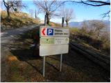 2
2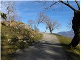 3
3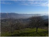 4
4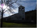 5
5 6
6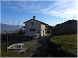 7
7 8
8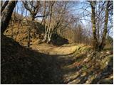 9
9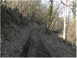 10
10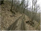 11
11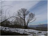 12
12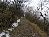 13
13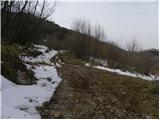 14
14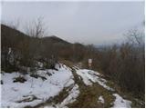 15
15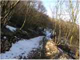 16
16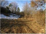 17
17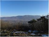 18
18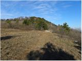 19
19 20
20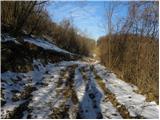 21
21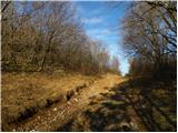 22
22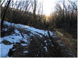 23
23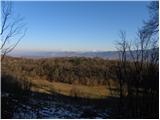 24
24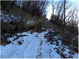 25
25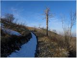 26
26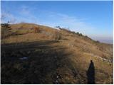 27
27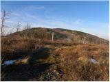 28
28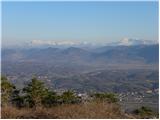 29
29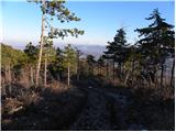 30
30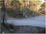 31
31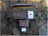 32
32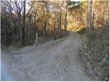 33
33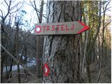 34
34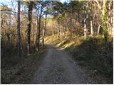 35
35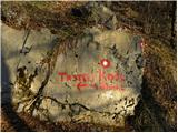 36
36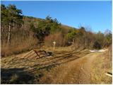 37
37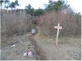 38
38 39
39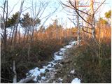 40
40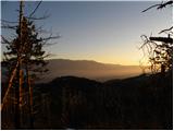 41
41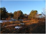 42
42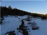 43
43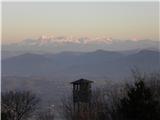 44
44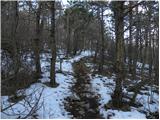 45
45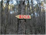 46
46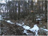 47
47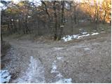 48
48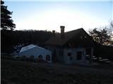 49
49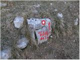 50
50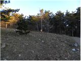 51
51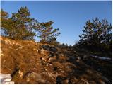 52
52 53
53 54
54 55
55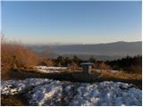 56
56
Discussion about the trail Pedrovo - Trstelj
|
| BredaT23. 02. 2021 |
Pozdravljeni, zanima me ali je čas hoje res 2 h kot je napisano in ali je sedaj pot bolje markirana .
|
|
|
|
| Tinca523. 02. 2021 |
Pot ni dobro označena. Priporočam, da imate s sabo opis poti in da dobro spremljate redke markacije. Potem pa kar gre. Čas je po moje realen.
|
|
|
|
| BredaT24. 02. 2021 |
Najlepša hvala za odgovor. Bomo vzeli opis sabo.
|
|
|