Planina Jezerca - Kalški greben (via planina Koren)
Starting point: Planina Jezerca (1410 m)
| Lat/Lon: | 46,2855°N 14,5314°E |
| |
Name of path: via planina Koren
Time of walking: 4 h
Difficulty: easy marked way
Altitude difference: 814 m
Altitude difference po putu: 1120 m
Map: Kamniške in Savinjske Alpe 1:50.000
Recommended equipment (summer):
Recommended equipment (winter): ice axe, crampons
Views: 21.591
 | 4 people like this post |
Access to the starting point:
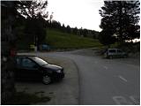
a) From the motorway Ljubljana - Jesenice take the exit Vodice, then continue to the first semaphore crossing in Vodice, where you turn left towards Cerkelj na Gorenjskem and Brnik. When you reach the main roundabout at Spodnji Brnik, continue driving in the direction of Cerkeliai and the ski resort Krvavec. At the end of Cerklje na Gorenjskem, leave the main road, which continues towards Velesovo and Visoke, and turn slightly right onto the road towards the ski resort Krvavec. Continue to the village of Grad, where signs for Ambrož pod Krvavcem direct you to the right on a steep asphalt road (straight ahead to the lower station of the round-cabin cable car to Krvavec and Štefanja Gora). When the steepness of the steep road eases slightly, you will come to a junction, where you will continue to the left in the direction of Ambrož pod Krvavcem (straight ahead to the settlements of Ravne, Apno and Šenturška Gora). A little further on, the road descends a little and then climbs over slopes that are sometimes quite scenic. Higher up, you reach Ambrož pod Krvavcem, where you pass the church of St Ambrose and the tourist farm Pr Ambružarju on the left. From the tourist farm the road passes into the forest and climbs through it to mountain pasture Jezerec, where there is a large parking lot.
b) From the motorway Jesenice - Ljubljana take the exit Kranj - East, then continue to Brnik, Komenda and Mengeš. When you reach the main roundabout at Spodnji Brnik, continue driving towards Cerkeliai and the ski resort Krvavec. At the end of Cerklje na Gorenjskem, leave the main road, which continues towards Velesovo and Visoke, and turn slightly right onto the road towards the ski resort Krvavec. Continue to the village of Grad, where signs for Ambrož pod Krvavcem direct you to the right on a steep asphalt road (straight ahead to the lower station of the circular cable car to Krvavec and Štefanja Gora). When the steepness of the steep road eases slightly, you will come to a crossroads, where you will continue to the left in the direction of Ambrož pod Krvavcem (straight ahead to the settlements of Ravne, Apno and Šenturška Gora). A little further on, the road descends a little and then climbs over slopes that are sometimes quite scenic. Higher up, you reach Ambrož pod Krvavcem, where you pass the church of St Ambrose and the tourist farm Pr Ambružarju on the left. From the tourist farm the road passes into the forest and climbs through it to mountain pasture Jezerec, where there is a large parking lot.
Path description:
At the end of the parking lot, where the road turns left and the road branches off to the right towards the nearby mountain pasture Jezerca, you will notice red mountain direction signs directing you straight onto the marked footpath in the direction of Kriška planina, Vrh Korena, Košutna, Kompotela and Mokrica, which ascends through the pastures of the aforementioned mountain pasture. After a short climb, cart track is reached, and we follow it to the left, crossing the slopes of Kržišče (1658 m). Cart track, which we are following, quickly splits into two parts, and we continue straight on the lower one. Transitionally, we get a nice view towards Kranj, the Škofjeloško hribovje and Storžič, and then the path starts to descend gently. A few more minutes of walking follow, and then we arrive at the parking lot at the lower part of Kriška planina.
From the parking lot, continue in the direction mountain pasture Koren and follow the worse dirt road, which passes through the underpass under the ski slope. After the underpass, the marked path veers slightly left off the road, continuing parallel to the road along a spruce tree avenue. After a few minutes of gentle ascent, when you reach the eastern edge of Kriška planina, where there is a small watering place for animals, continue slightly left over a pasture fence (right mountain pasture Osredek and Kamniški vrh), but continue the gentle ascent in roughly the same direction. The path continues with mountain pasture to the slightly steeper slopes of Krvavec, over which we climb crosswise to a viewpoint from which we have a fine view towards Kržišče), the ridge of Kamniški vrh, the Korošice valley, Velika planina and towards the nearby Košutna and Velika Zvoh.
From the viewpoint, which is located a few steps to the right of the path, we begin to descend steeply towards the hunting lodge above the Korošica valley. When the descent stops and the trail continues without any major changes in altitude, you will come to a prominent but poorly marked crossroads where the trail branches off to the right towards the aforementioned hunting lodge and further towards the Korošice valley and the Kamniška Bistrica valley. At this crossroads, continue slightly left and start climbing slightly through the forest. The path quickly leaves the forest and passes through bushes and dwarf pines, and then gradually leads us through a pasture fence to the next unmarked crossroads, which is located right in the middle of a sharp right-hand bend. From the serpentine, an unmarked path continues straight ahead towards the Razor saddle (the saddle between Krvavec and Velika Zvoh), and we continue to the right along the further marked path. There is a short cross-climb and the path leads us to the southern part of mountain pasture Koren, from where we have a nice view over the central part of mountain pasture and the surrounding peaks. From the southern part of mountain pasture there is a short descent to the nearby shepherd's hut, which is located in the central part of mountain pasture Koren.
Here our route continues slightly left (slightly right mountain pasture Košutna) through the meadows on the valley floor (the path is initially not very visible). The path then becomes steeper and steeper and, after less than 30 minutes' walking, leads us to a small puddle, where there is a less well-marked crossroads. Continue straight ahead (right Košutna) and follow the gently sloping path to the next crossroads, where you continue left in the direction of Vrh Korena (straight Kompotel). The path ahead starts to climb steeper and quickly leads us through the karst world to a place where you join the path from Veliki Zvoh to Vrh Korena (the ridge of Jez). Continue to the right and the path leads in a few steps to a place where the path to Vrh Korena branches off to the right (1 minute). The path continues to descend the slope, which is partly covered with dwarf pines. After 15 minutes of descent, the path leads to the crossroads at Škrbini.
Here we continue straight in the direction of Kalški greben and Cojzova huts along the path, which after a few further steps leads us to the next crossroads. Continue slightly to the left (Kalška gora and Cojzova koča to the right) along the path, which begins to climb gently up the slopes, which are becoming more and more scenic. The pleasant path, which can be very hot in the middle of the day, leads us first near a small ridge, and then gradually turns slightly more to the left and leads us from dwarf pines to beautiful meadows where we will find various types of flowers. The wide slope we are walking on then narrows and the meadows are gradually replaced by rocks. Higher up, the path leads to the scenic main ridge, which is then followed to the summit, which is often full of sheep droppings.

Pictures:
 1
1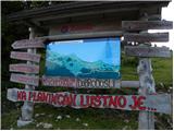 2
2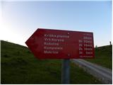 3
3 4
4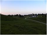 5
5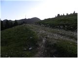 6
6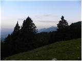 7
7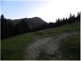 8
8 9
9 10
10 11
11 12
12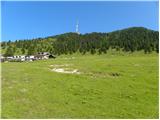 13
13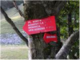 14
14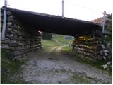 15
15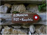 16
16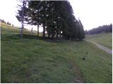 17
17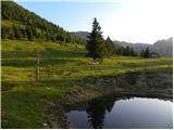 18
18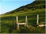 19
19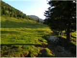 20
20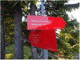 21
21 22
22 23
23 24
24 25
25 26
26 27
27 28
28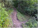 29
29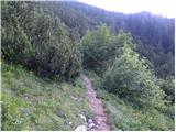 30
30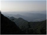 31
31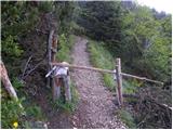 32
32 33
33 34
34 35
35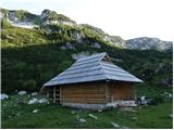 36
36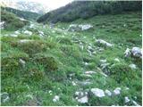 37
37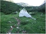 38
38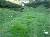 39
39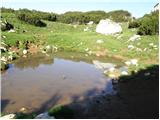 40
40 41
41 42
42 43
43 44
44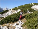 45
45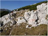 46
46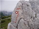 47
47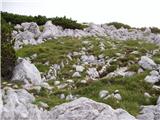 48
48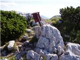 49
49 50
50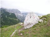 51
51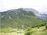 52
52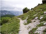 53
53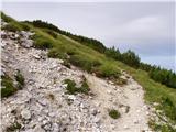 54
54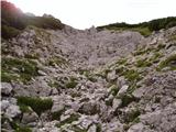 55
55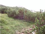 56
56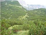 57
57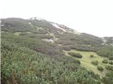 58
58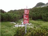 59
59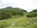 60
60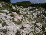 61
61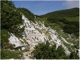 62
62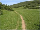 63
63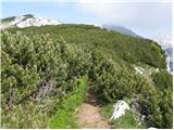 64
64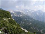 65
65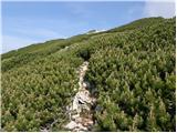 66
66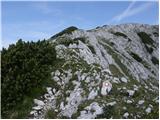 67
67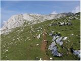 68
68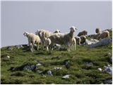 69
69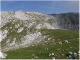 70
70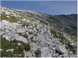 71
71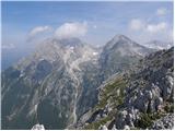 72
72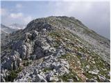 73
73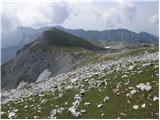 74
74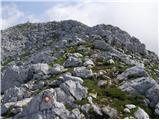 75
75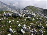 76
76
Discussion about the trail Planina Jezerca - Kalški greben (via planina Koren)
|
| velkavrh18. 09. 2013 |
Lepa tura, vsako leto jo naredim. Priporočam!
|
|
|
|
| bposl31. 03. 2017 |
Pozna kdo trenutne razmere na tej poti?
|
|
|
|
| brina31. 03. 2017 |
Takole je izgledala pot v sredo.
|
|
|
|
| bposl31. 03. 2017 |
brina hvala, a še vedno ne vem kako 
|
|
|
|
| seinfeld14. 10. 2019 |
Včeraj na Kalškem grebenu. S planine Koren sva šla na Košutno, Kompotelo, Mokrico, Vrh Korena in na Kalški greben. Pot je dobro označena, nezahtevna, čudoviti kraji in razgledi. Na vrhu toplo, brez vetra.
Nazaj čez planino Dolga njiva, sin čez greben Ježa. Slabih 18km, 1500 višinskih metrov, v 6,5ure.
|
|
|
|
| Lisica14. 06. 2020 |
Tudi sama sem včeraj spet naredila tole turco, super je. Nazaj sem tokrat šla čez Planino Dolga Njiva. Po novem pobirajo na temu parkingu parkirnino. 2 eur se plača na avtomatu in listek potem neseš v avto. Vzemte denar s sabo.  Me ne moti plačevanje, lahko bi pa poskrbeli še za par WC-jev, saj je obiska veliko. 
|
|
|
|
| J.P.13. 07. 2020 |
Krasna tura, Jezerca-Vrh korena-K.Greben.Gor smo šli čez planino Koren, nazaj pa čez Dolgo Njivo. Dolga Njiva je sicer zelo lepa vendar za nazaj raje imam bolj smiselno rešitev.Tukaj gremo strmo dol da bi šli strmo gor nazaj na isto višino.Kakšno informacijo prosim glede poti nazaj čez Ježo. Hvala :-) Lp
|
|
|