Pohorje cable car - Žigartov vrh (via Razglednik)
Starting point: Pohorje cable car (1040 m)
| Lat/Lon: | 46,516°N 15,5785°E |
| |
Name of path: via Razglednik
Time of walking: 2 h 15 min
Difficulty: easy marked way
Altitude difference: 306 m
Altitude difference po putu: 400 m
Map: Pohorje 1:50.000
Recommended equipment (summer):
Recommended equipment (winter): ice axe, crampons
Views: 246
 | 1 person likes this post |
Access to the starting point:
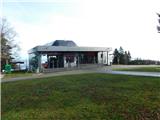
a) Leave the Styrian motorway at the exit for Slivnica and Rogoza, then follow the signs for Pohorje and Areh. The road continues through Spodnje and Zgornje Hoče, Slivnica Pohorje, and after the settlements follow the signs for Areh, and higher up follow the signs for Mariborska koča and the Bellevue Hotel. Park in the parking lot between the top funicular station and the Bellevue Hotel.
b) Leave the Styrian motorway at the exit for Slivnica and Rogoza, then follow the signs for the ski resort Maribor Pohorje. Park on the outskirts of Zgornje Radvanje, in the large parking lot at the foot of the ski slope, then walk to the bottom station of the funicular (return price for an adult is EUR 6 - November 2022), which takes you to the Bellevue Hotel, where the route described above begins.
Path description:
At the upper funicular station we see the mountain direction signs, and we turn right in the direction of Mariborska koča and Ruška koča na Arehu. A little further on, a short path branches off to the right to the nearby church of St. Bolfenka, and we continue along the marked path which runs parallel to the asphalt road. The path ascends gently to moderately, and after a small statue of the Virgin Mary, the path splits.
Slightly to the left, the first trail branches off towards Mariborska koča, and we continue straight on in the direction of the trail towards the lookout tower. The path, which runs along a dirt road, then leads us out of the forest to a ski slope, which forks a little further on. Continue along the steeper right-hand ski slope, along which there are few signs, and we continue along the ski slope to the lookout tower at the Maribor lookout.
We go around the tower on the left and continue along the cart track, which turns into a forest. In the forest the path splits and we continue slightly left in the direction of Mariborska koča and Ruška koča na Arehu (slightly right Pečke) and continue on a mostly easy climb. Just a little further on, a second path branches off slightly to the left towards Mariborska koča, but we continue straight on this time too, and within a few minutes of a gentle climb we reach the nondescript Ledinekov kogel, where we see a radar tower.
From Ledinek's Kogel, there is a short descent on a dirt road, and then we arrive at a marked crossroads.
Continue straight on in the direction of Ruška koča na Arehu (sharp left the fenced area below Ledinek's Kogol, left Mariborska koča, right Pečke and Log) and follow the slightly narrower dirt road, soon turning left onto the marked path. A little further on, cross a wider dirt road (left Mariborska koča, right Ruše and Glažuta), then continue along the wider cart track, which leads through the forest. A little further on, the path to Hotel Zarja branches off to the left, and we continue straight on in the direction of Ruška hut. There is a cross-country climb up the slopes of Sedovec Peak, and then we descend to a small pass where the path from Fram joins us.
Continue straight ahead and climb mainly gently along the macadam road, which leads us past a few graves. After a while, you reach the main road to Areh, continue along it for a short distance, and then turn slightly left onto a footpath, which quickly leads to the Church of St Areh.
From the church, cross the meadow and you are at the Ruška hut on Arehu.
From the hut, turn right towards Žigartov vrh and walk to the asphalt road, where you turn left, and then continue along the road towards Šumik, Cojzerica and Žigartovo vrh. At first, the path still leads along a large parking lot, then the road goes into the forest and climbs gently. After about 10 minutes of further walking, you arrive at a marked crossroads, where the path to the left branches off towards the Šumik waterfall and Bajgot. Continue straight ahead on the wider macadam road, from which turn left for a minute or so, as the signs for Žigartov vrh direct you left onto a worse forest road, which leads you up to the nearby ski resort. Continue along the edge of the ski slope, and higher up the path goes slightly left and into the forest. Continue through the forest, following the signs, and follow this path until you reach the summit, a few minutes away.
Starting point - Maribor lookout post 0:25, Maribor lookout post - Ledinekov kogel 0:15, Ledinekov kogel - Ruška koča 1:05, Ruška koča - Žigartov vrh 0:30.
Description and images refer to the situation in March, May and November 2022.

Pictures:
 1
1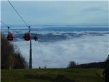 2
2 3
3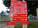 4
4 5
5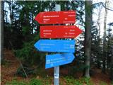 6
6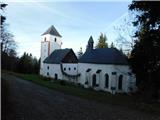 7
7 8
8 9
9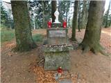 10
10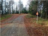 11
11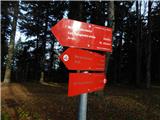 12
12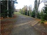 13
13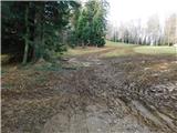 14
14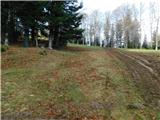 15
15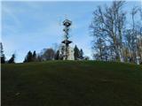 16
16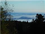 17
17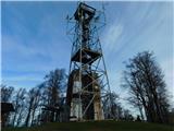 18
18 19
19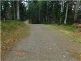 20
20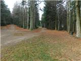 21
21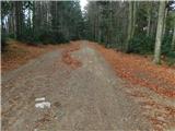 22
22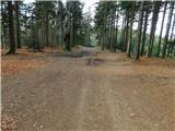 23
23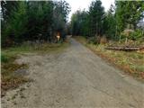 24
24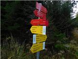 25
25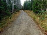 26
26 27
27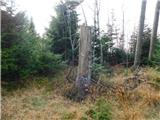 28
28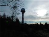 29
29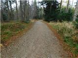 30
30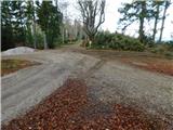 31
31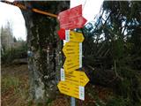 32
32 33
33 34
34 35
35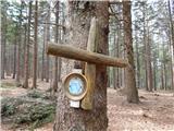 36
36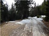 37
37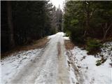 38
38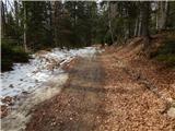 39
39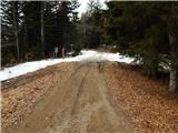 40
40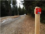 41
41 42
42 43
43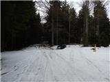 44
44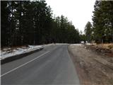 45
45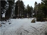 46
46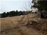 47
47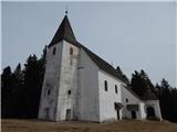 48
48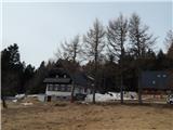 49
49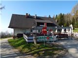 50
50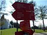 51
51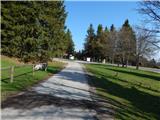 52
52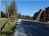 53
53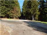 54
54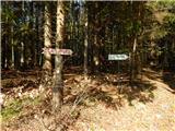 55
55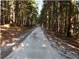 56
56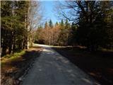 57
57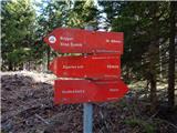 58
58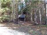 59
59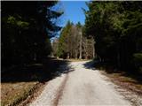 60
60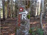 61
61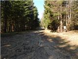 62
62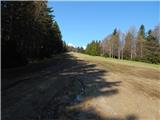 63
63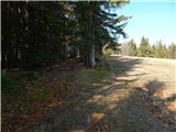 64
64 65
65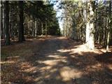 66
66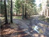 67
67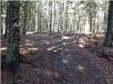 68
68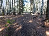 69
69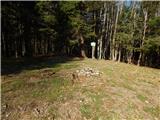 70
70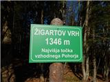 71
71
Discussion about the trail Pohorje cable car - Žigartov vrh (via Razglednik)