Railway station Hochzirl - Kleiner Solstein (on Höttinger Schützensteig)
Starting point: Railway station Hochzirl (922 m)
| Lat/Lon: | 47,28105°N 11,24935°E |
| |
Name of path: on Höttinger Schützensteig
Time of walking: 6 h
Difficulty: very difficult marked way
Altitude difference: 1715 m
Altitude difference po putu: 1715 m
Map: Karwendelbirge West, 5/1 1:25.000
Recommended equipment (summer): helmet
Recommended equipment (winter): helmet, ice axe, crampons
Views: 287
 | 5 people like this post |
Access to the starting point:
From Ljubljana, take the motorway past Salzburg towards Munich. At the Dreieck Inntal multi-level junction, take the A93 towards Innsbruck/Kufstein/Brenner. On your return to Austria, continue on the A12 Tyrolean motorway to exit 87 (Zirl-Ost). At the next crossroads, continue straight on towards Seefeld. Follow the wide B177 road to the exit for Zirl/Hochzirl and shortly afterwards take a sharp right onto the ascending road leading to Hochzirl. Follow the road to Hochzirl train station and park in one of the nearby parking places.
Access by train is very convenient. The train journey from Ljubljana to Innsbruck is relatively quick and relatively inexpensive, and there is a regional train from the main station in Innsbruck to Scharnitz with a stopover at Hochzirl every hour during the day, which takes you all the way to the starting point.
Path description:
From the Hochzirl station in Jelenice, follow the signs for the (Neue) Magdenburger Hütte, which lead you along the forest cart track, and later the slightly narrower path starts to climb a little steeper over the forest slope. After about an hour and a half's walk from the starting point, we reach a mountain road near the Brunntal guesthouse, where signs for the hut direct us uphill along a fairly steep path which turns into a dense forest above mountain pastures. Follow the track for a further hour to the Neue Magdenburger Hütte, which is in a picturesque location and boasts an interesting assortment of llamas. From the starting point, it is about two and a half hours' walk to the hut.
At the hut there is a crossroads of two trails leading to the Solsteins' world: the Zirler and the Höttinger Schützensteig. Turn right (east) here onto the latter, which is a little more difficult but also more scenic and more direct. Shortly after the crossroads, we come to the first, slightly more difficult part of the route: the passage under the dark walls of the western Karwendel, through which we are led in attractive surroundings along a narrow path that winds precipitously, in places, high above the valley of the Sulzenbach. There are a few fixed safety gear on the way, which help us especially in the wet, but there is also a short jump to climb, which does not exceed climbing level I and is not particularly exposed. A little higher up, the route turns slightly to the left and crosses a gully below a steep wall, and at about 2300 m it leads to a lookout ridge high above the Inna valley. Follow the trail for a few minutes to the vast high mountain world of the plateau between the Solsteins (orientation in this part is often difficult in the fog).
At the signpost in the middle of the plateau, head sharply east towards Kleiner Solsteina. The path leads first over a steep ledge, then over a moderately long exposed ledge protected by a rope, and finally, with occasional scrambling, steeply over a wide rib of the mountain (only I in places if you follow the markings carefully). The path leads just below the western headland of the Kleiner Solstein; from here it descends slightly to a scenic and occasionally slightly exposed summit ridge, over which good markings lead in a few minutes to the summit with its distinctive cross and extensive views.
As I was informed, the route to Kleiner Solstein has only recently been marked and in places protected, which is evident in the relatively primitive character of the route; nevertheless, the ascent should not be too difficult for an experienced mountaineer, and the route is relatively well-traveled. On the descent, I recommend a visit to the much more easily accessible Großer Solstein, from which you can descend by an easy panoramic route to the Solsteinhaus hut, from where you can round off the trip by returning by a route that descends directly, but not particularly steeply, towards the Hochzirl railway station.

Pictures:
 1
1 2
2 3
3 4
4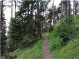 5
5 6
6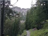 7
7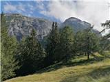 8
8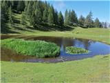 9
9 10
10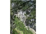 11
11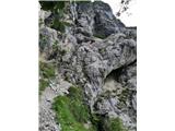 12
12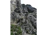 13
13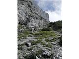 14
14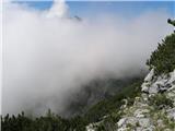 15
15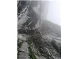 16
16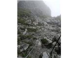 17
17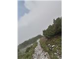 18
18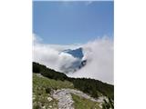 19
19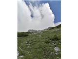 20
20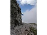 21
21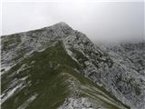 22
22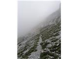 23
23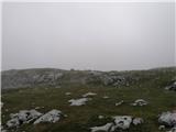 24
24 25
25 26
26 27
27 28
28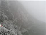 29
29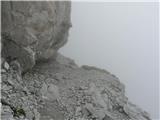 30
30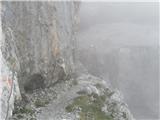 31
31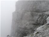 32
32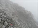 33
33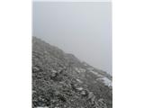 34
34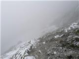 35
35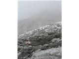 36
36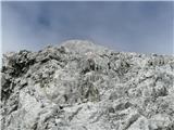 37
37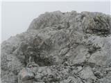 38
38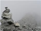 39
39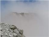 40
40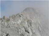 41
41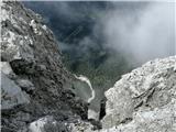 42
42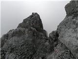 43
43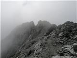 44
44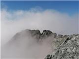 45
45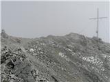 46
46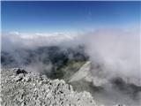 47
47
Discussion about the trail Railway station Hochzirl - Kleiner Solstein (on Höttinger Schützensteig)