Rovte - Vrh Svetih Treh Kraljev (gentle path)
Starting point: Rovte (698 m)
| Lat/Lon: | 45,9866°N 14,1774°E |
| |
Name of path: gentle path
Time of walking: 1 h 30 min
Difficulty: easy marked way
Altitude difference: 186 m
Altitude difference po putu: 350 m
Map:
Recommended equipment (summer):
Recommended equipment (winter):
Views: 6.993
 | 1 person likes this post |
Access to the starting point:
From the Ljubljana - Koper motorway, take the Logatec exit and follow the road to the above-mentioned place. When you reach the old parallel road after about 2 km from where you left the motorway, turn right towards Ljubljana, then after a few 100 m turn left in the direction of Žire. Continue along the road, which is occasionally more winding, until you reach Rovt, where you turn right at the petrol station. The road climbs steeply for a short distance and then splits into two parts. Here, continue along the left-hand road for another 10 m to a large gravel parking area below the Church of St Michael in Rovty.
Access is also possible from the direction of Žiri.
Path description:
From the parking lot continue along the asphalted road, which begins to descend gently, and at the end of Rovt leads to a marked crossroads, where we continue along the lower left road in the direction of the Peak of St. Three Kings (right Smrečje and Lavrovec). The road continues to descend and leads us past the hamlet Osredek to the river Sovra. Descend along the river for some time, then reach a small hamlet where the signs for Vrh Svetih Treh Kraljev direct you right onto the ascending road. Follow the road for a few steps, then the signs direct you left onto a footpath that climbs steeply through the forest. At a higher altitude, we return to the road, and we follow it to the beginning of the next hamlet (Hlevni Vrh). Here, the signs direct us left to cart track, which quickly leads to the nearby quarry and the local dirt road. Follow the road to the left and it will quickly lead you to a marked crossroads.
Continue straight ahead in the direction of the lay-by (steep path on the right) and continue the ascent for a short distance on the gently sloping road. A little further on, the markings direct us to the right to cart track, after which we start to climb moderately. Follow the path as it continues to climb gently to moderately, then follow it to a marked crossroads where it joins a steep path.
Continue right along the gently sloping road, which leads past a 'thick lime tree', located one minute off the path, to the bowling green, where you join the asphalted road from Smrečje. Continue on the ascending road, which quickly leads past Rupnikova linija to the mountain hut on the top of Sveti Treh Kraljev.
From the mountain hut, continue along the marked mountain path, which begins to climb steeply through increasingly sparse forest. The path then lays down and leads to an asphalted road, which, within a few minutes of further walking, takes you to a scenic peak.

Pictures:
 1
1 2
2 3
3 4
4 5
5 6
6 7
7 8
8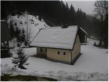 9
9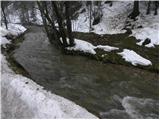 10
10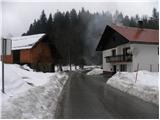 11
11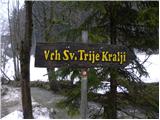 12
12 13
13 14
14 15
15 16
16 17
17 18
18 19
19 20
20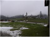 21
21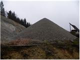 22
22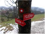 23
23 24
24 25
25 26
26 27
27 28
28 29
29 30
30 31
31 32
32 33
33 34
34 35
35 36
36 37
37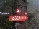 38
38 39
39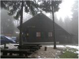 40
40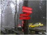 41
41 42
42 43
43 44
44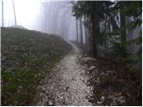 45
45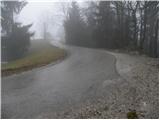 46
46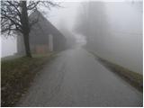 47
47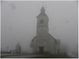 48
48 49
49
Discussion about the trail Rovte - Vrh Svetih Treh Kraljev (gentle path)
|
| Acibujl27. 01. 2025 14:55:21 |
Kratek, a lep izlet, po strmi poti gor, po položni nazaj. Zdaj je na vrhu postavljena tudi "klopca ljubezni", da na njej posediš in občuduješ razglede tja proti Blegošu, Bohinjskim goram, Triglavu...
|
|
|