Strada di Foredor - Veliki Karman / Monte Chiampon
Starting point: Strada di Foredor (968 m)
| Lat/Lon: | 46,28275°N 13,17282°E |
| |
Time of walking: 2 h 10 min
Difficulty: partly demanding marked way
Altitude difference: 745 m
Altitude difference po putu: 790 m
Map: 020 Tabacco - Prealpi del Gemonese
Recommended equipment (summer): helmet
Recommended equipment (winter):
Views: 2.060
 | 1 person likes this post |
Access to the starting point:
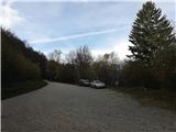
Drive to Gemona del Friuli in Italy and find a street "Strada di Foredor". Orient yourself to the north and then east of the city center while you gain altitude. The higher you go the fewer the streets there are. Eventually, only Strada di Foredor remains. Follow the street uphill in direction for a hut Malga Cuarnan. The road is paved, steep, narrow with extreme hairpin turns. Follow the road and pass the alpine meadow with some private mountain cottages. There is a sharp but very wide road turn (the road is not paved here anymore). Park there and enjoy your hike!
Path description:
A hike to a hut takes about 10-15 minute of walking. Begin at the sharp road turn at the end of Foredor street, where a well-marked trail leads uphill through the forest. The trail soon reaches an alpine meadow which extends uphill all the way to a hut Malga Cuarnan. Parking by the hut is not possible.
A trail marked with no. 713 circles the hut to the other side and ascends to the ridge. There, turn left (due north) and descend to the Foredor saddle, 1067 (Sella Foredor) (the right / south trail leads to a mountain Mali Karman (Slovene) / Cuarnan (Italian), 1370 m.
From Foredor saddle, pass a standing cross and head uphill. Ascend through a thinning pine forest that end when you gain an extra 100 meters of altitude. Afterwards, the trail elegantly conquers a grassy terrain and passes some surrounding steep jumps and a ravine to an obliquely standing rock formation, where some easy scrambling is necessary to reach a turn with another standing cross. Here, a magnificent view opens down to a valley and its picturesque river Tilment (it. Tagliamento) sedimentation.
A few trail sections further, the only steel ropes on the entire trail will help you safely cross a narrow ridge (Passo della Signorina, 1359 m). Afterwards, the trail ascends steeply. Mind the steep 1-2 meter high rock jumps along the way where some scrambling is necessary. The trail than reaches the grassy ridge that leads all the way to the summit. A red metallic summit cross stands there beside a bell. Another trail leads east from the summit, this is a Alta Via CAI Gemona.
A mountain is very prominent, therefore a wonderful view can be enjoyed from the summit.
This description and photos are from 2018 (October).

Pictures:
 1
1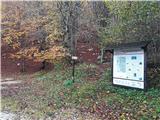 2
2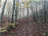 3
3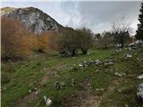 4
4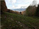 5
5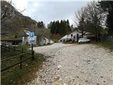 6
6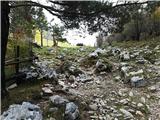 7
7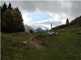 8
8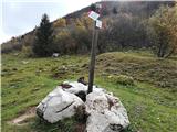 9
9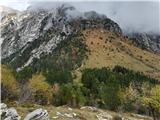 10
10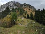 11
11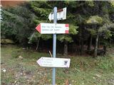 12
12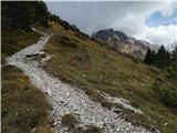 13
13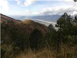 14
14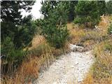 15
15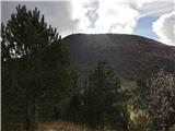 16
16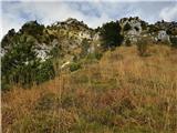 17
17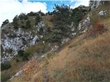 18
18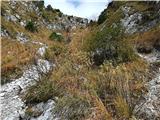 19
19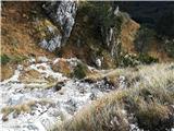 20
20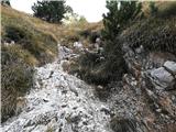 21
21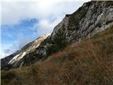 22
22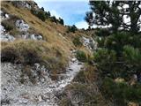 23
23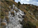 24
24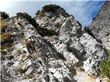 25
25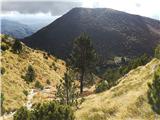 26
26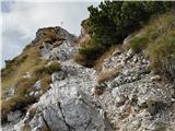 27
27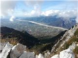 28
28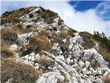 29
29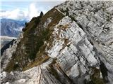 30
30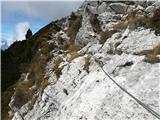 31
31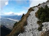 32
32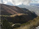 33
33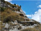 34
34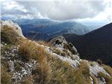 35
35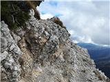 36
36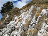 37
37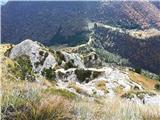 38
38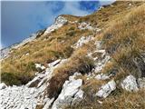 39
39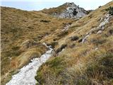 40
40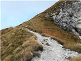 41
41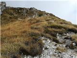 42
42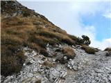 43
43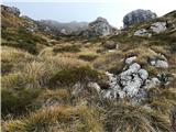 44
44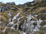 45
45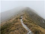 46
46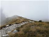 47
47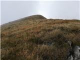 48
48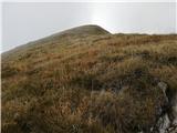 49
49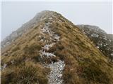 50
50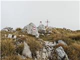 51
51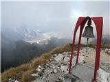 52
52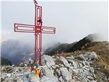 53
53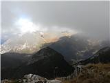 54
54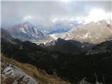 55
55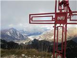 56
56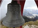 57
57
Discussion about the trail Strada di Foredor - Veliki Karman / Monte Chiampon
|
| J.P.9. 04. 2024 20:42:43 |
Manjši popravek je potreben in sicer višina je 1709m. LP
|
|
|