Suhadolnik - Cojzova koča na Kokrskem sedlu (via Taška)
Starting point: Suhadolnik (901 m)
| Lat/Lon: | 46,3352°N 14,5102°E |
| |
Name of path: via Taška
Time of walking: 2 h 30 min
Difficulty: difficult marked way
Altitude difference: 892 m
Altitude difference po putu: 900 m
Map: Kamniške in Savinjske Alpe 1:50.000
Recommended equipment (summer): helmet
Recommended equipment (winter): helmet, ice axe, crampons
Views: 56.032
 | 2 people like this post |
Access to the starting point:
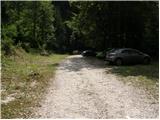
From the motorway Ljubljana - Jesenice take the exit Kranj - East and follow the road towards Jezersko, but only as far as the village of Kokra. In this village, just a few metres before the road crosses the bridge over the Kokra River, you will see a road leading towards Suhadolnik. The road turnoff is located when we are on the right side of the river (left bank) and the road marker is approximately 7 km. Follow this road to the parking area, which is about 300 m in front of the Suhadolnik farm.
Path description:
At the beginning of the parking lot, you will see mountain direction signs directing you to the road, which will take you to a small crossroads near the Suhadolnik farm in less than 5 minutes. Here we continue along the right-hand road, and we follow it for about 5 minutes, or until the place where the signs lead us to the ascending cart track. We then climb cart track for a short distance, and then the signs direct us to the right onto a footpath which climbs moderately through the forest. Higher up, we return to cart track, which leads us a few metres further to a forest road, which we then follow to its end (it takes about half an hour to get here).
At the end of the road, the marked path splits into two parts. Continue along the left-hand path (to the right, the slightly easier "Old Path"), which continues to climb along the folded cart track. A little further on, the markings direct us slightly to the right onto torrential layers of sand, and the path continues through the forest on the other side, where it starts to climb steeply. Higher up, we reach a small cave, and the path beyond it becomes technically difficult. With the help of a rope ladder, we climb a step higher, and the path then continues on a steep slope, where occasionally a wedge helps us. Higher up, the path turns to the right, climbs steep and, especially in the wet, slippery slopes and then leads to an excellently protected crossing. With the help of wooden steps or ladders and the aid of a rope ladder, we climb up the steep slope, which would be very dangerous without the aforementioned fixed safety gear. Higher up, we are helped by a few more pegs, and the route then lays down and crosses a short exposed slope, where we are helped by an emergency fence. Just a little further on, we come to the next ladder, which does not have a belay, but the crossing is not particularly difficult. There is a short descent into a small gully, which is crossed after this. On the other side of the gully we climb steeply (a few staples help us), and then the path slowly lays down and in a few 10 steps of further walking leads us to a place where it joins the slightly easier "Old Path".
There is a short cross-climb and the path leads us to a larger plain where the "old hut" once stod. Cross the tall grasses to the other side of the plain and arrive at a marked crossroads. Continue straight ahead (left Kočna over Grdi graben) along a moderately steep path, which continues to climb through lane of bushes. Higher up, the path completely lays down for a while, then leads us between dwarf pines, where it starts to climb more steeply. Follow this slightly steeper path, which offers increasingly beautiful views, all the way to the Cojzova koča on Kokrsko sedlo.

We can extend the trip to the following destinations: Kamniška koča na Kamniškem sedlu (5 h 45 min),
Kalška gora (1 h),
Bivak pod Grintovcem (1 h 15 min),
Kalški greben (1 h 45 min),
Turska gora (3 h 45 min),
Štruca (2 h 55 min),
Dolgi hrbet,
Kokrska Kočna (3 h 15 min),
Skuta (3 h 15 min),
Jezerska Kočna,
Grintovec
Pictures:
 1
1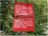 2
2 3
3 4
4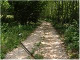 5
5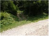 6
6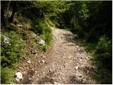 7
7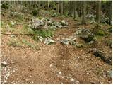 8
8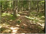 9
9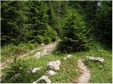 10
10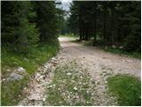 11
11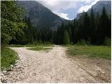 12
12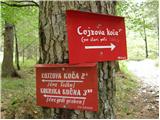 13
13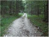 14
14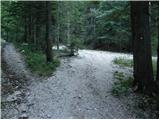 15
15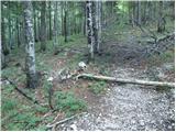 16
16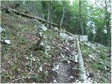 17
17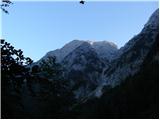 18
18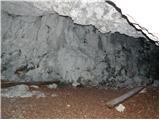 19
19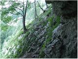 20
20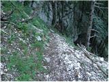 21
21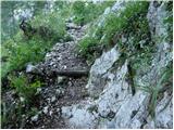 22
22 23
23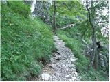 24
24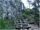 25
25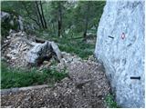 26
26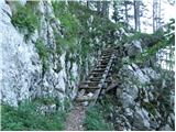 27
27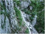 28
28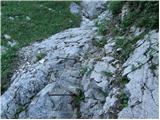 29
29 30
30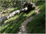 31
31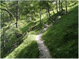 32
32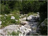 33
33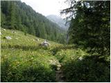 34
34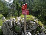 35
35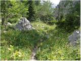 36
36 37
37 38
38 39
39 40
40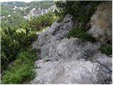 41
41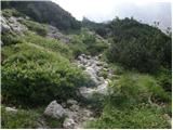 42
42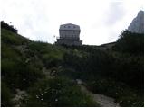 43
43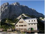 44
44
Discussion about the trail Suhadolnik - Cojzova koča na Kokrskem sedlu (via Taška)
|
| Guest14. 08. 2007 |
Brane V. S Kokrškega sedla sem se vračal Čez Taško,čeprav se priporoča bolj za gor.Celotna pot je na novo urejena,ustrezno zavarovana z debli ob poti,z novimi jeklenicami,ob najdaljši jeklenici celo lestev iz brun.Izredno pohvalno!
|
|
|
|
| BOSTJAN3413. 07. 2009 |
Mene pa zanima,če gre kdo v nedeljo 19.7.09 na srečanje ljubiteljev kamniških planin na k.sedlo? Pozdravček.. 
|
|
|
|
| Skuta14. 07. 2009 |
Mene bolj zanima kakšna je cesta do Suhadolnika, glede na ta neurja, a se jo da lepo prevozit do vrha?
|
|
|
|
| klavdy627. 06. 2010 |
Lepo speljana in zavarovana pot, ki je na nekaterih delih krušljiva.
|
|
|
|
| velkavrh1. 08. 2010 |
To pot rad uporabljam za gor.Danes je veljala previdnost, ker je bila namočena -spolzka. Za dol sedaj vedno uporabljam običajno pot.
|
|
|
|
| mero5514. 09. 2010 |
Lepo urejena pot, nazaj sva šla po stari poti, tudi lepa, le spodaj v grapi se malo izgubi
|
|
|
|
| velkavrh18. 06. 2011 |
Od lani sem napredoval za en mesec pa pol, toliko preje sem se odpravil sem gor. Kot običajno čez Taško gor. Pot v redu. Le zadnja lestev je bolj v slabem stanju-velja paziti in pred vrhom je majav en klin-pazljivo, ker je spodaj brezno. Danes sicer vetrovno in malce hladno, tako , da je bil ves obisk v koči, celo velika skupina Hrvatov. Veliko pohodnikom je bil to končni cilj, le malokateri so šli naprej na Grintavec. Sicer sem se odpravil naprej, a na končni cilj-Skuta, ravno zaradi vremenskih razmer nisem šel. Tako gosta megla od bivaka po Grintavcem naprej, da bi jo lahko rezal. V glavnem so bili gorniki iz kamniške smeri. Hodijo pa že vsepovsod. Ko sem se vračal od bivaka sta dva šla za bivakom na sedlo in naprej na Grintavec, že skoraj pri avtu pa pohodnika, ki sta se namenila na Kalški greben. Lep pozdrav gorniku Franciju s črnim psom, ki me je pri koči tako prijazno ogovoril! Še so pravi planinci!
|
|
|
|
| roker68. 03. 2012 |
Zelo dobro speljana, lepo urejena pot, uničena od snega le ena lojtra, vendar ni težav.
|
|
|
|
| Loni8. 03. 2012 |
Mislim, da je tista lojtra uničena že od prej, ne od letošnejga snega.
|
|
|
|
| svetilka22. 07. 2013 |
Zanimiva pot, ustrezno zavarovana, dobro vzdrževana, lepo označena. Kot večina, priporočam za pot navzgor, za navzdol pa staro pot.
|
|
|
|
| Anansie29. 05. 2016 |
Bila gor včeraj. Koča zaprta. Iskala žig in ga nisem našla. Je možno da ga ni izven koče?
|
|
|
|
| nahaha11. 07. 2016 |
Bila v soboto gor. Prvič po tej poti in navdušena. Previdno na delu kjer zapustimo cesto in zavijemo levo v gozd (slika št. 6). Zaradi vej je markacija slabše vidna.
|
|
|
|
| anč30. 06. 2019 |
Danes cez Tasko gor in po lovski poti dol.Pot cez Tasko je unicena, v spodnjem delu so nanosi kamenja, peska in blata.Nad zadnjo lestvijo poti sploh ni vec, klini so polomljeni.Tudi lovska pot je unicena.Skoda da ni nobenih obvestil.
|
|
|
|
| Guest30. 06. 2019 |
Stara pot v grapi je taka že od takrat ko so jo ponovno odprli. Si je treba pač enkrat ali dvakrat malo pomagati z rokami. Pot čez Taško pa je čisto lepo urejena in prehodna, in nič slabša kot je večina poti v naših gorah.
|
|
|
|
| ivoma30. 06. 2019 |
Poti je poškodovalo neurje 22.6.,nekaj je sanirani že isti dan.
|
|
|
|
| anč30. 06. 2019 |
Ja ivoma, sem prebrala v medijih, da je bilo 22.6. neurje.Ker sem bila v tujini nisem imela teh informacij.Ocitno miro krivec po tem datumu se ni sel na Cojzovo.Pot je unicena in nevarna Predvsem cez Tasko.Pot sem prehodila ze velikokrat in je bila prej zelo dobro urejena, sedaj pa je na nekaterih delih sploh ni.
|
|
|
|
| angel22. 07. 2019 |
Pot čez Taško bo za nekaj časa ZAPRTA, Staro pot pa bomo v najkrajšem času popravili.
|
|
|
|
| Matija8812. 08. 2019 |
Kakšna nova informacije glede odprtosti in popravljana poti čez Taško?
|
|
|
|
| angel212. 08. 2019 |
Pot čez Tasko je še vedno zaprta obhod po Stari poti.
|
|
|
|
| benja815111. 09. 2020 |
Zdravo, kako je sedaj stanje poti čez Taško? Na PZS sicer piše, da naj bi lanska škoda bila popravljena, a sem se vseeno želel prepričati.
LP
|
|
|
|
| mirank12. 09. 2020 |
Konec avgusta sem zasledil prispevek da je pot sanirana v celoti
|
|
|
|
| Enka30. 06. 2023 21:23:15 |
Pot nad prvo lestvijo se je podrla, za dol zna biti kak meter mičkeno sitno (drsljiv šoder).
|
|
|
|
| Barbara 7527. 04. 2025 20:23:32 |
Pozdrav, pohodniki, je kdo bil pred kratkim na Cojzovi koči? Me zanima, če so razmere še zimske, ali je pot brez posebnosti, hvala, Barbara
|
|
|