Ukanc - Dom na Komni (via Ražnova Suha)
Starting point: Ukanc (570 m)
| Lat/Lon: | 46,2758°N 13,8358°E |
| |
Name of path: via Ražnova Suha
Time of walking: 4 h
Difficulty: partly demanding unmarked way
Altitude difference: 950 m
Altitude difference po putu: 1100 m
Map: TNP 1:50.000
Recommended equipment (summer):
Recommended equipment (winter): ice axe, crampons
Views: 2.710
 | 1 person likes this post |
Access to the starting point:
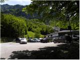
Drive to Bohinjska Bistrica, then follow the signs for Bohinjsko jezero and the Vogel ski resort. The route described starts at the bottom station of the cable car to Vogel, but as parking at the cable car is only allowed for visitors to Vogel, we park at parking lot Ukanc (there is a charge). This extends the route by about 5 minutes.
Path description:
Below the lower cable car station at Vogel, a forest road (ski slope in winter) is seen, which starts to climb moderately westwards. The path continues for some time climbing gently to moderately, then leads us out of the forest to a scenic slope from where we have a beautiful view of Komarčo, Pršivec and Lake Bohinj.
When the road or ski slope turns left and starts to climb steeply, however, become alert, because after about 100 metres, on the right side you will notice cairn, along which begins a hunting trail, which after a short crossing begins to climb steeply through the forest. Higher up, the path transitions and crosses slightly steeper slopes to the right. From here, a beautiful view of the surroundings opens up for a short time, and then the path returns to the forest, through which it again begins to climb more steeply. In a few places, the path is a little overgrown and leads us higher up to a larger rock (Fig. 17), after which we arrive at an unmarked crossroads after a few 10 m.
From the crossroads, at which there is also a small cairn, continue to the right (the left path leads to mountain pasture behind Migovec) and follow the path for about 10 minutes without any major changes in altitude. There is a short, rather steep climb and the path leads to the hunting lodge Na Melu.
A few 10 steps further on from the hunting lodge, we reach the next crossroads, from where we continue to the left (straight ahead leads the abandoned path to Pleše, it is also possible to continue in the direction of Komna, and to the right down the abandoned path to Koča pri Savici). Further on, a fainter path passes into the valley of Ražnova Suha, where we climb through the forest for a while. During the ascent, there are a few fallen trees across the path, but otherwise the path is also quite overgrown. Higher up, the path is laid and leads us out of the forest to the Raznova Suha shelter. Here you initially climb along the left edge of cirque, then a barely visible path climbs across to the right, so that from the northern slopes you move to the south-eastern slopes. The south-eastern slopes become quite steep, and the path leads over a short, quite steep grassy slope, where there is a high risk of slipping, especially in wet conditions. There are a few minutes of traverse to the right, but when the steep slope is replaced by cliffs, the path turns left, so that we are traversing for some time to the left. When you reach a little higher up the valley between Mohorje on the left and Mali vrh on the right, the overgrown path continues along the middle of the valley, but higher up it is a little more to the left. When you suspect that you are approaching the marked trail, the trail turns to the left and leads to the marked trail Ski resort Vogel - Komna. Follow the marked path to the right and quickly ascend to the pass between the two peaks, where you will also cross a pasture fence. There is a moderate descent to the Krošnja freezing point, which the trail passes on the right. A few minutes of easy walking and you reach a marked crossroads, from which you continue upwards to the right (straight ahead mountain pasture Govnjač and Dom na Komni over the aforementioned mountain pasture).
From the crossroads there is a few minutes of ascent, then some more descent. Lower down, the path is laid and the path leading over mountain pasture Govnjač joins us from the left.
Continue in the direction of Dom na Komni, which is reached after a few minutes of further walking.
Starting point - hunting lodge Na Melu 2:00, hunting lodge Na Melu - freezing point Krošnja 1:15, freezing point Krošnja - Dom na Komni 0:45.
The description refers to the situation in September 2018 and the pictures are from different periods.

We can extend the trip to the following destinations: Črno jezero,
Dom pri Krnskih jezerih,
Krnsko jezero,
Planina Govnjač,
Koča pod Bogatinom,
Planina Lopučnica,
Planina za Migovcem,
Koča pri Triglavskih jezerih,
Kser,
Vrh Škrli,
Mali Šmohor,
Vrh Planje,
Bogatin,
Kal,
Lanževica,
Mahavšček,
Velika Baba,
Zeleni vrh,
Vrh nad Škrbino,
Podrta gora,
Tolminski Kuk,
Batognica,
Vrh nad Peski,
Čelo,
Krn
Pictures:
 1
1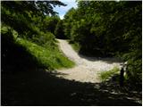 2
2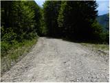 3
3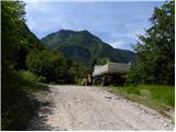 4
4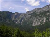 5
5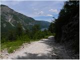 6
6 7
7 8
8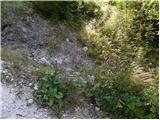 9
9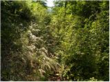 10
10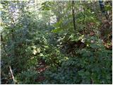 11
11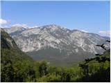 12
12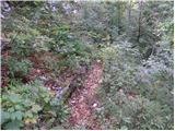 13
13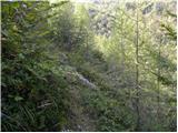 14
14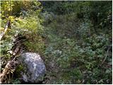 15
15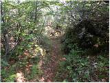 16
16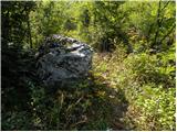 17
17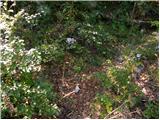 18
18 19
19 20
20 21
21 22
22 23
23 24
24 25
25 26
26 27
27 28
28 29
29 30
30 31
31 32
32 33
33 34
34 35
35 36
36 37
37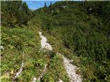 38
38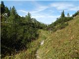 39
39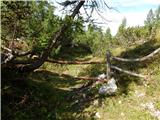 40
40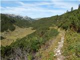 41
41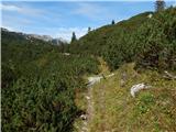 42
42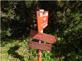 43
43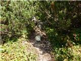 44
44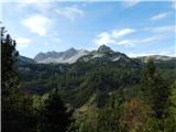 45
45 46
46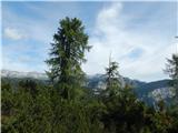 47
47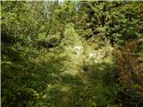 48
48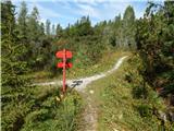 49
49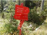 50
50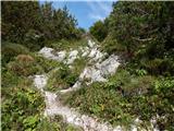 51
51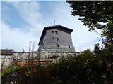 52
52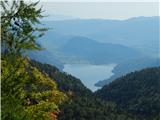 53
53
Discussion about the trail Ukanc - Dom na Komni (via Ražnova Suha)
|
| grega_p3. 06. 2022 18:49:22 |
Zdravo,
je slučajno kdo hodil po tej poti v zadnjem času? Zanima me, če je pot še prehodna ali že preveč zaraščena. Hvala za kakršenkoli info...
|
|
|