Walischeben - Weißenstein (Packalpe)
Starting point: Walischeben (1603 m)
| Lat/Lon: | 47,0494°N 14,7984°E |
| |
Time of walking: 1 h 45 min
Difficulty: easy marked way
Altitude difference: 557 m
Altitude difference po putu: 557 m
Map: WK 212 (Seetaler & Seckauer Alpen 1:50.000)
Recommended equipment (summer):
Recommended equipment (winter): ice axe, crampons
Views: 2.769
 | 1 person likes this post |
Access to the starting point:
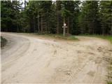
From the Gorenjska side, go via the Ljubelj border crossing to Klagenfurt (Klagenfurt) or via Karawanks to Bialystok (Villach). Continue on the motorway in the direction of the signs for Graz / Graz. Leave the motorway after about 2km through a tunnel in the direction of Bad St. Leonhard. Continue past the village of St. Peter to Obdach. From the main road the signs for Obdach point to the left and soon you reach an industrial zone. Before the underpass, turn right and after a few dozen metres cross the railway line. Follow the road, which becomes gravel at all junctions, towards the signs for Weissenstein Hütte. Park in the small parking lot on the side of the road by the no further traffic sign (there is also a crossroads close to the parking lot).
From Carinthia, we first drive to Dravograd and then on to Austria. Follow the road to St. Paul, St. Andra and Wolfsberg. In Wolfsberg, head towards Bad St. Leonhard and on to St. Peter. Continue following the description from Gorenjska.
From the Styrian side, take the Maribor and continue through the Šentilj border crossing into Austria. Follow the motorway in the direction of Klagenfurt / Klagenfurt. Leave the motorway in the direction of the Bad St. Leonhard exit. Follow the description from Gorenjska.
Path description:
From the car, continue along the road on the left in the direction of Weissenstein Hütte. After a few minutes, the road climbs moderately and leads out of the forest onto the slopes, where a beautiful view opens up. Ahead of us we see a hut which we reach after a few minutes' walk along the road.
From the hut, continue sharp right over the pasture fence. Continue along cart track, which climbs gently and crosses a small spring. After a few minutes' walk, you will reach a crossroads where you turn left uphill. Follow the wide path for a good five minutes to a pasture fence. At the fence, turn left and continue climbing steeply up along the fence. When the path leads out of the wods, it begins to slowly recede to the left, away from the fence. The way forward is a little more difficult to follow as it runs along a grassy slope on which the path is poorly visible. The markings are also more sparsely placed, but if you stick to the faint ridge you can't miss it. A little higher up, the path leads us to an old stone fence along which we then climb. A few ten metres to the right of the fence you can see an emergency bivouac for two people. Next, the path leads us to the main ridge, where we encounter a maze of fences. To the right of the fence is the Weissenstein peak, which is reached after a few steps of walking.

Pictures:
 1
1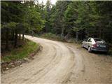 2
2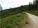 3
3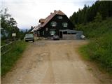 4
4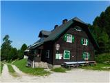 5
5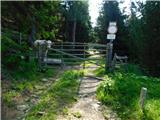 6
6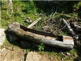 7
7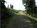 8
8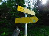 9
9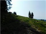 10
10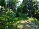 11
11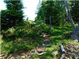 12
12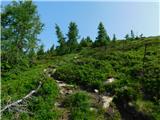 13
13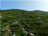 14
14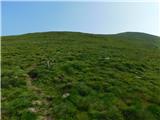 15
15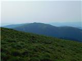 16
16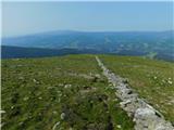 17
17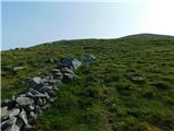 18
18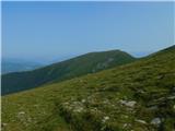 19
19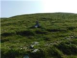 20
20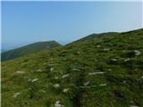 21
21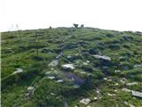 22
22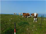 23
23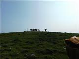 24
24
Discussion about the trail Walischeben - Weißenstein (Packalpe)