Žagana peč - Cojzova koča na Kokrskem sedlu (hunting path)
Starting point: Žagana peč (812 m)
| Lat/Lon: | 46,3384°N 14,5702°E |
| |
Name of path: hunting path
Time of walking: 4 h
Difficulty: partly demanding unmarked way, difficult marked way
Altitude difference: 981 m
Altitude difference po putu: 1200 m
Map: Kamniške in Savinjske Alpe 1:50.000
Recommended equipment (summer): helmet
Recommended equipment (winter): helmet, ice axe, crampons
Views: 13.990
 | 2 people like this post |
Access to the starting point:
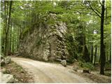
Drive into Kamnik and follow the road towards the Kamnik Bistrica valley. From our home in Kamniška Bistrica we continue driving along the forest road, which leads us higher up to a crossroads where we continue straight ahead (right Jermanca, starting point for Kamniško sedlo). The road then leads us to Žagana peči (a large boulder by the road), and we drive on for another 30 m, where we see a small parking lot on the left side where we park.
After the new road sign, driving is forbidden from the Kamniški Bistrica hut to Žagana peči, which extends the journey by about 45 minutes.
Path description:
At the parking lot, you will see the start of a hunting trail leading into the forest. The path soon begins to climb steeply and after about 15 minutes leads to a distinct woded ridge where the path is transiently laid. The path quickly retreats to the left, where it crosses some steep and, especially in the wet, dangerous slopes. There is a short descent, then the path turns slightly to the right, where it starts to climb very steeply (slip hazard and risk of falling rocks). There is a climb up and along a wide woded gully, which the path follows higher up and then retreats to the left. There is only a good 15-minute climb through the forest and the path leads to a hunting lodge located at the edge of the viewing slope.
From the hunting lodge, continue along a clearly visible path which returns to the forest and first crosses the slopes to the left, then turns slightly to the right and gradually begins to climb more steeply. Higher up, the path, along which we see more and more 'unofficial' markings (red dots and lines), leads us into a small valley and gradually begins to disappear among the tall grasses. Although the path is slowly disappearing, you can still follow it for a while.
A little further on you reach a small crossroads where you continue along a less well beaten path on the left (right up the Toth and one of the possible approaches to Kalška gora). The path continues climbing gently (with the exception of a few short steep climbs) along the lower edge of the rocky cliffs. A faint path ahead then leads to the abandoned mountain pasture Ovčarija, at the end of which it is finally lost. Continue following the frequent red dots and lines, which soon turn quite to the right and, higher up, to the left again. Follow the red lines until you reach the marked path Krvavec - Kokrsko sedlo (if you have followed the red lines consistently, you will reach the marked path just at a verse written on a rock above the path).
When you reach the marked path, follow it to the right (Krvavec to the left), which first ascends in a gentle and then in a moderate ascent, crossing the gradually steeper slopes of the Kalški greben. Higher up, the path leads to a short steep section, over which we are helped by a small steel cable. The path then lays down and within a few minutes of further walking leads us to a small saddle between Kalški greben on the left and Kalška gora on the right. There is a marked crossroads at the saddle, and we continue straight down in the direction of Cojzova koča (Kalški greben on the left, Kalška gora on the right). The trail first descends over a steep slope, then turns into a wall, over which we descend with the help of fixed safety gear, and partly descend about 100 m lower on the broken rocks. Below the wall, the path turns right, crosses a few short steep sections, and then leads to a scree slope, which is crossed to descend to the vicinity of Kokrsko sedlo. There is a short steep descent, where a wedge helps us, and then it is just a few minutes of pleasant walking to Cojzova koča on Kokrsko sedlo.
We descend along the usual route.

We can extend the trip to the following destinations: Kamniška koča na Kamniškem sedlu,
Kalška gora,
Bivak pod Grintovcem,
Kalški greben,
Turska gora,
Štruca,
Dolgi hrbet,
Kokrska Kočna,
Skuta,
Jezerska Kočna,
Grintovec
Pictures:
 1
1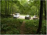 2
2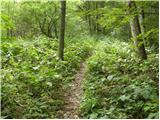 3
3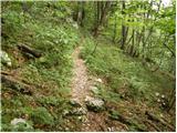 4
4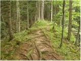 5
5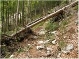 6
6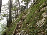 7
7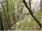 8
8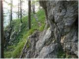 9
9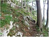 10
10 11
11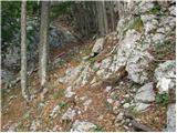 12
12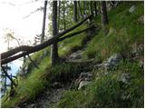 13
13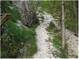 14
14 15
15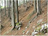 16
16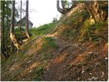 17
17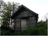 18
18 19
19 20
20 21
21 22
22 23
23 24
24 25
25 26
26 27
27 28
28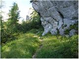 29
29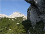 30
30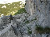 31
31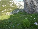 32
32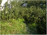 33
33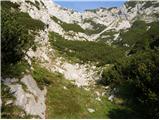 34
34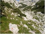 35
35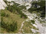 36
36 37
37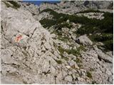 38
38 39
39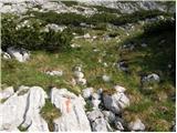 40
40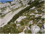 41
41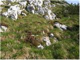 42
42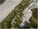 43
43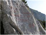 44
44 45
45 46
46 47
47 48
48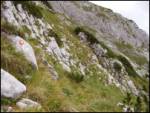 49
49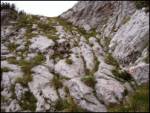 50
50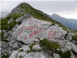 51
51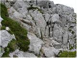 52
52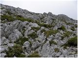 53
53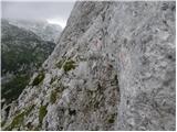 54
54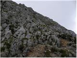 55
55 56
56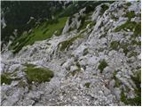 57
57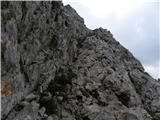 58
58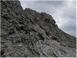 59
59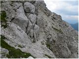 60
60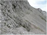 61
61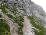 62
62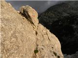 63
63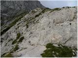 64
64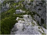 65
65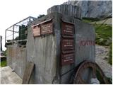 66
66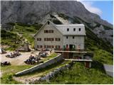 67
67
Discussion about the trail Žagana peč - Cojzova koča na Kokrskem sedlu (hunting path)
|
| ursa.k14. 10. 2014 |
Tole je pa ena najlepših poti, Kalška gora oz. greben nudi fantastičen razgled!
In cela pot je lepo označena s slepimi markacijami
|
|
|
|
| palck23. 08. 2024 11:48:27 |
Ali je pot do izhodišča dostopna?
|
|
|
|
| garmont23. 08. 2024 18:31:56 |
Brez težav. Tudi parkirišče je urejeno.
|
|
|