Žagana peč - Kalški greben (via Škrbina)
Starting point: Žagana peč (812 m)
| Lat/Lon: | 46,3384°N 14,5702°E |
| |
Name of path: via Škrbina
Time of walking: 5 h 15 min
Difficulty: partly demanding unmarked way, easy marked way
Altitude difference: 1412 m
Altitude difference po putu: 1550 m
Map: Kamniške in Savinjske Alpe 1:50.000
Recommended equipment (summer): helmet
Recommended equipment (winter): helmet, ice axe, crampons
Views: 9.717
 | 1 person likes this post |
Access to the starting point:
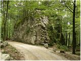
Drive into Kamnik and follow the road towards the Kamnik Bistrica valley. From our home in Kamniška Bistrica we continue driving along the forest road, which leads us higher up to a crossroads where we continue straight ahead (right Jermanca, starting point for Kamniško sedlo). The road then leads us to Žagana peči (a large boulder by the road), and we drive on for another 30 m, where we see a small parking lot on the left side where we park.
After the new road sign, driving is forbidden from the Kamniški Bistrica hut to Žagana peči, which extends the journey by about 45 minutes.
Path description:
At the parking lot, you will see the start of a hunting trail leading into the forest. The path soon begins to climb steeply and after about 15 minutes leads to a distinct woded ridge where the path is transiently laid. The path quickly retreats to the left, where it crosses some steep and, especially in the wet, dangerous slopes. There is a short descent, then the path turns slightly to the right, where it starts to climb very steeply (slip hazard and risk of falling rocks). There is a climb up and along a wide woded gully, which the path follows higher up and then retreats to the left. There is only a good 15-minute climb through the forest and the path leads to a hunting lodge located at the edge of the viewing slope.
From the hunting lodge, continue along a clearly visible path which returns to the forest and first crosses the slopes to the left, then turns slightly to the right and gradually begins to climb more steeply. Higher up, the path, along which we see more and more 'unofficial' markings (red dots and lines), leads us into a small valley and gradually begins to disappear among the tall grasses. Although the path is slowly disappearing, you can still follow it for a while.
A little further on, you reach a small crossroads where you continue along the less well-trodden path on the left (right up Zob and one of the options for the approach to Kalško Gora). The path continues climbing gently (with the exception of a few short steep climbs) along the lower edge of the rocky cliffs. A barely visible path ahead then leads to the abandoned mountain pasture Ovčarija, at the end of which it finally disappears. Continue following the frequent red dots and lines, which soon turn quite to the right and again to the left at a higher level. Follow the red lines until you reach the marked path Krvavec - Kokrsko sedlo (if you have followed the red lines consistently, you will reach the marked path just at a verse written on a rock above the path).
Once on the marked path, follow it to the left, and after 5 minutes of crossing it, it leads to an abandoned crossroads, where the abandoned path to Kalški greben branches off to the right (the above-mentioned path first climbs straight up the slope, and then before reaching the lower edge of the wall, it turns to the left into a steep chute, where we are helped by old, but still partly usable, ropes and pegs. Higher up, the path turns right and after a short further climb leads to the main ridge, where we join the marked Kokrsko sedlo - Kalški greben) route. We continue straight on along the path, which continues to cross the slopes to the left and, with the exception of short ascents, gradually descends. The path, which continues through a karst world full of scrapes and potholes, after a while completely lays down, and we notice a small lake called Krvava lokev to the left below us. The way forward crosses another slightly longer scree slope, then begins to climb steeper and after a good 10 minutes of climbing leads us to a crossroads near Škrbine.
Here we continue to the right in the direction of Kalški greben (left crossroads at Škrbina 1 minute) and continue along a wide and initially also quite folded path. The path climbs steeply for a short distance through lane of dwarf pines, then leads to the edge of the ridge, where a fine view opens up. The wide path soon gives way to the ridge, slightly to the left, where it gradually changes from dwarf pines to grassy slopes. A short crossing slightly to the left follows, and the path quickly leads to a small saddle from which a view opens up towards the mountains above the Kokra River. The path continues in a cross-climb to a broad summit ridge, which is then climbed to the Kalški ridge within a few minutes of further walking.

Pictures:
 1
1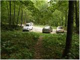 2
2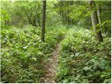 3
3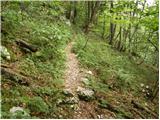 4
4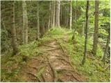 5
5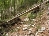 6
6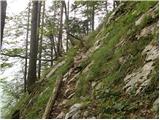 7
7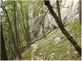 8
8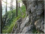 9
9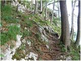 10
10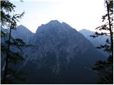 11
11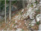 12
12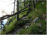 13
13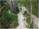 14
14 15
15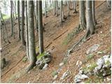 16
16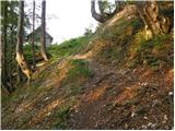 17
17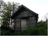 18
18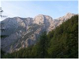 19
19 20
20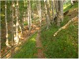 21
21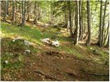 22
22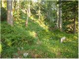 23
23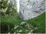 24
24 25
25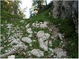 26
26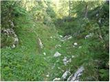 27
27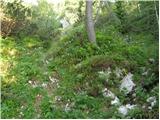 28
28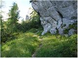 29
29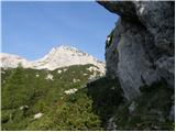 30
30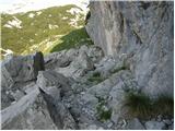 31
31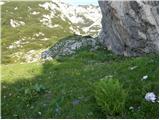 32
32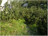 33
33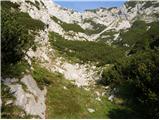 34
34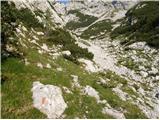 35
35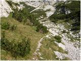 36
36 37
37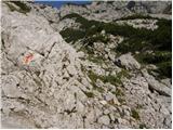 38
38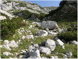 39
39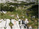 40
40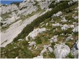 41
41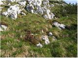 42
42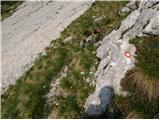 43
43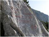 44
44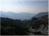 45
45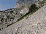 46
46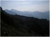 47
47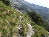 48
48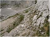 49
49 50
50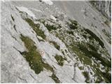 51
51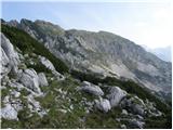 52
52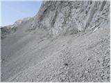 53
53 54
54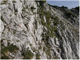 55
55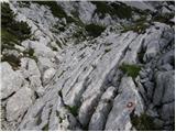 56
56 57
57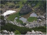 58
58 59
59 60
60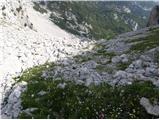 61
61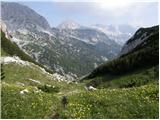 62
62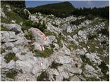 63
63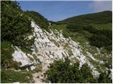 64
64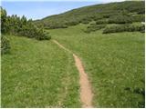 65
65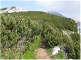 66
66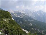 67
67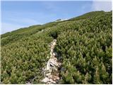 68
68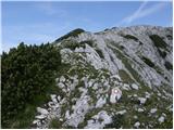 69
69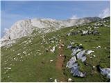 70
70 71
71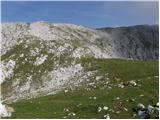 72
72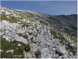 73
73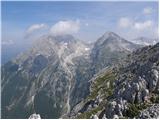 74
74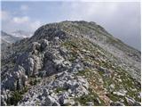 75
75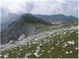 76
76 77
77 78
78
Discussion about the trail Žagana peč - Kalški greben (via Škrbina)
|
| klm27. 08. 2011 |
Do Zoba pod Kalško goro brez dvoma najlepša pot v Grintovcih, sicer do Kalškega grebena tudi za "tekače" sorazmeroma dolga, saj se do Škrbine kar lepo vleče in izgublja pridobljene višinske metre - "ampak nič ne de". Če se v turo vključi še Kalško goro, postane ta zelo lepa in precej razgledna. Kakšno estetsko doživetje bo šele, ko bodo macesni rumeneli! 
|
|
|
|
| BSAE9. 11. 2015 |
Minulo soboto opravila krožno turo Žagana peč-po lovski gor-Škrbina-vrh Kalškega grebena-po grebenu do razpotja, spust do Kokrškega sedla-v dolino nazaj do izhodišča. Res lepa, krožna, razgledna tura, ki te "osvoji" z razgledi in tišino.  Za vse tiste "samotarje", ki radi uživamo v miru nad 2000m ...  Čelada vsekakor priporočljiva na grebenskem delu poti (vrh - Kokrško sedlo). lp
|
|
|
|
| alyas22. 10. 2017 |
Kalška gora in Kalški greben (od Žagane peči gor in dol)
Sobotne razmere so bile idealne za meni to vedno zanimivo in ljubo turo. Mestoma strma steza čez gozd do lovske koče in naprej mimo Turnov je trenutno polna odpadlega listja, tako da je treba biti pozoren pri orientaciji ali pa si – zlasti če greste po isti poti tudi nazaj, postaviti še kakega možiclja več in zase. V meliščni dolinici pod Škrbino, pa možicljev ni težko zgrešiti, ti vodijo desno navzgor do markirane poti (ki pripelje pod stenami Kalškega grebena iz Kalc) in potem zavije levo (s pomočjo jeklenice) navzgor na greben med Kalško goro in Kalškim grebenom (tu je sicer tudi odcep navzdol na Kokrsko sedlo).
Varovala čez prvi prehod na grebenu in naprej čez Škrbino so OK, od Kalškega grebena v smeri proti Krvavcu so nove markacije, nazaj grede po spodnji poti pod Kalškim grebenom pa so te žal že precej obledele, tako da jim je zelo težko slediti, pa je zato ta pot skoraj že postala podobna "lovski". Nekaj prečenj mimo globokih jam in škrapelj, bi v megli ali slabi vidljivosti bilo lahko nevarnih.
V normalnih razmerah in z običajnimi počitki se turo prehodi v cca 8 urah.
Pa še info o cesti: cesta od Kamniške Bistrice do tovorne žičnice pod Kokrskim sedlom ali pa v smeri na Jermenco, je na več mestih kar pošteno luknjasta in »vzvalovana«.
|
|
|