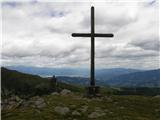
 | Tonnerhütte - Fuchskogel (Seetal Alps)
Fuchskogel is a peak south of Zirbitzkogel in the Seetaler Alps. The summit is vast and mostly covered with grass. More precisely, the summit is ...
2 h 20 min |
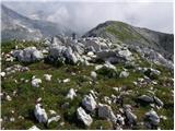 | Dom na Gospincu - Kalški greben (via Dolga Njiva)
Kalški greben is 2224 m high and is the highest peak of the eponymous ridge. The summit, which has a registration box and a stamp, offers a beaut...
3 h 20 min |
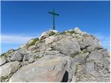 | Plockenpass - Creta di Collinetta / Cellon
Creta di Collinetta/Cellon is a 2238 m high mountain located west of the Plockenpass. From the top with a cross, you have a beautiful view of the...
3 h |
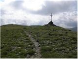 | Turracher Höhe - Kaserhöhe
Kaserhöhe is a scenic peak located in Austrian Carinthia in the heart of the Krkonoše Alps. On the spacious peak, which is partly covered with gr...
2 h 20 min |
 | Rifugio Selvapiana I.Lunelli - Croda Sora I Colesei / Arzalpenkopf (via Forcella Popera)
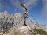
Croda Sora I Colesei or Arzalpenkopf in German is a 2321 m high mountain located on the eastern edge of the Sextens Dolomites / Dolomites di Sest...
2 h 30 min |
 | Rifugio Selvapiana I.Lunelli - Croda Sora I Colesei / Arzalpenkopf (via Belvedere)
Croda Sora I Colesei or Arzalpenkopf in German is a 2321 m high mountain located on the eastern edge of the Sextens Dolomites / Dolomites di Sest...
2 h 30 min |
 | Waldheim Hütte - Scharfes Eck (Seetal Alps) (direct way)
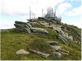
Scharfes Eck is the peak on which the Austrian meteorological radar station stands. The unpopular peak offers a beautiful view of the neighbourin...
2 h 30 min |
 | Tonnerhütte - Scharfes Eck (Seetal Alps)
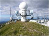
Scharfes Eck is the peak on which the Austrian meteorological radar station stands. The unpopular peak offers a beautiful view of the neighbourin...
3 h |
 | Malga Crocifisso - Col de Valvacin
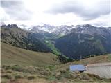
Col de Valvacin is a 2372 m high peak in the west of the Marmolada mountain group, next to the Buffaure ski resort. The Rifugio el Zedron hut is ...
2 h 15 min |
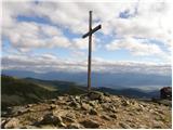 | Waldheim Hütte - Zirbitzkogel (Seetal Alps) (direct way)
At 2396m, Zirbitzkogel is the highest peak in the Seetaler Alps. The summit, on which stands a cross and a viewing platform, offers a beautiful v...
2 h 2 min |
 | Waldheim Hütte - Zirbitzkogel (Seetal Alps) (via Wildsee)
At 2396m, Zirbitzkogel is the highest peak in the Seetaler Alps. The summit, on which stands a cross and a viewing platform, offers a beautiful v...
3 h 22 min |
 | Winterleiten parking - Zirbitzkogel (Seetal Alps)
At 2396m, Zirbitzkogel is the highest peak in the Seetaler Alps. The summit, on which stands a cross and a viewing platform, offers a beautiful v...
2 h 17 min |
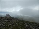 | Tonnerhütte - Zirbitzkogel (Seetal Alps)
At 2396m, Zirbitzkogel is the highest peak in the Seetaler Alps. The summit, on which stands a cross and a viewing platform, offers a beautiful v...
2 h 32 min |
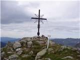 | Etrachsee - Bauleiteck
Bauleiteck is a scenic peak located in the eastern part of the Schladminger Taueren mountain group. From the summit on which the cross stands, yo...
3 h 15 min |
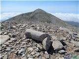 | Lakkos tou Mygerou - Agathias (Kreta)
Agathias is a 2424 meter high mountain on the island of Crete in Greece (fourth highest on the island). Agathias, sometimes spelled Agkathias (gr...
3 h |
 | Malga Crocifisso - Sas de Adam
Sas de Adam (aka Sass de Dama) is a 2430 m high peak located north of the Val de Sen Nicolo. From the top, you can enjoy a beautiful view of Piz ...
2 h 35 min |
 | Lakkos tou Mygerou - Timios Stavros / Psiloritis (Kreta)
Timios Stavros, 2456 m, is the highest peak on Crete island in Greece (and also among all the other Greek islands), and with highest topographica...
3 h |
 | Sella di Razzo - Clapsavon (via 210)
Clapsavon is a 2462 m high mountain in Carnic Alps in Italy, and it is situated just short of 1 hour hiking distance to the west from Monte Biver...
3 h |
 | Piano Fiscalino / Fischleinboden - Sasso di Sesto / Sextnerstein
Sasso di Sesto is a 2,539-metre-high peak located in the Dolomites di Sesto Natural Park. Easily accessible, the peak offers outstanding views of...
3 h 30 min |
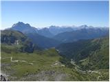 | Rifugio Bai de Dones - Rifugio Nuvolau (Trincee)
The Rifugio Nuvolau mountain hut is located on the peak of the same name, south-west of Cortina d'Ampezzo. From the top, in fine weather, you can...
2 h 50 min |
 | Rifugio Bai de Dones - Rifugio Nuvolau (via Rifugio Cinque Torri)
The Rifugio Nuvolau mountain hut is located on the peak of the same name, south-west of Cortina d'Ampezzo. From the top, in fine weather, you can...
2 h 35 min |
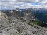 | Colfosco - Sas Ciampac
Sas Ciampac is a 2,672-metre peak in the Puez mountain group. From the top, where a small wooden cross stands, you have a beautiful view of the P...
3 h 30 min |
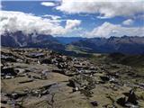 | Passo San Pellegrino - Cima Juribrutto
Mount Juribrutto is a 2697 m high mountain that rises above the San Pellegrino Pass. It also offers a beautiful view of the Valles Pass....
3 h |
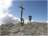 | Passo Falzarego - Lagazuoi Piccolo (normal way)
Lagazuoi Piccolo is a 2778m high mountain located north of the alpine pass of Pso Falzarego (2105m). From the top where the cross stands, we have...
2 h 15 min |
 | Passo Valparola - Lagazuoi Piccolo
Lagazuoi Piccolo is a 2778m high mountain located north of the alpine pass of Pso Falzarego (2105m). From the top where the cross stands, we have...
2 h 45 min |
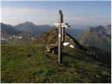 | Volkzeinalm - Hochalmspitze (Villgraten)
Hochalmspitze is a 2797 m high peak located in the south-western part of High Tauern in the Villgraten mountain group. It is much less popular am...
2 h 45 min |
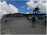 | Passo Pordoi - Sass de Pordoi
Sass de Pordoi is a 2950 m high peak located north of the Passo Pordoi Alpine Pass. On the summit is the Rifugio Maria mountain hut, which is als...
2 h |
 | Kühtai - Sulzkogel (normal approach from Kühtai)
Sulzkogel is a scenic and easily and relatively quickly accessible three-peak mountain located above the well-known ski resort of Kühtai in the S...
3 h 30 min |