 | Leskovica - Blegoš (on unmarked path)
Blegoš is a 1562 m high mountain located between Selška and Poljane Sora. From the grassy summit, on which there is a stamp and a registration bo...
2 h 5 min |
 | Cerknica (Senior citizens home) - Slivnica (Zatrepi - Slivnica)
Slivnica is a 1114 m high peak located north of Cerknica polje. The view from the summit, where the entry box is located, is rather limited due t...
1 h 30 min |
 | Rateče - Ofen/Peč (western path, past bivouac and on footpath)
Peč (also Tromeja), in Italian Monte Forno and in German Dreiländereck or Ofen, is a 1508 m high peak located on the tri-border between Slovenia,...
2 h 15 min |
 | Rateče - Ofen/Peč (western path, past bivouac and on mule track)
Peč (also Tromeja), in Italian Monte Forno and in German Dreiländereck or Ofen, is a 1508 m high peak located on the tri-border between Slovenia,...
2 h 20 min |
 | Klemenčevo - Kamniški vrh (by Korošaki waterfalls)
Kamniški vrh is a 1259 m high mountain located north of Kamnik, between Stahovica and the Korošica Valley. From the top of the peak there is a sm...
2 h 15 min |
 | Klemenčevo - Kamniški vrh (on southwest slope)
Kamniški vrh is a 1259 m high mountain located north of Kamnik, between Stahovica and the Korošica Valley. From the top of the peak there is a sm...
1 h 45 min |
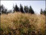 | Dol - Bukovec
The mountain is located between Kozji vrh, Stegovnik and Virnik's Grintovec. The summit partly overloks the forest so that there is a nice view t...
1 h 40 min |
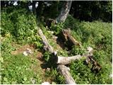 | Preval Hlevišče - Koprivnik (via Brdo)
Koprivnik is a 1393 m high mountain located between Blegoš and Mladi vrh. The view from the summit, which has a registration box and a stamp, is ...
2 h |
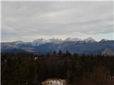 | Okrog pri Motniku - Vivodnik (via Biba planina)
At 1508 m, Vivodnik is the highest peak of the Menina mountain pasture, a plateau rising south of Gornji Grad. From the top, where there is a sma...
2 h 25 min |
 | Okrog pri Motniku - Vivodnik (čez Oseke in vrh Drč)
At 1508 m, Vivodnik is the highest peak of the Menina mountain pasture, a plateau rising south of Gornji Grad. From the top, where there is a sma...
2 h 15 min |
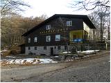 | Razdrto - Vojkova koča na Nanosu (Janez way)
Vojkova koča is located on the southern edge of the Nanoše plateau, close to Pleše, a peak that is clearly visible from the motorway. From the hu...
2 h |
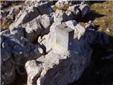 | Avsa - Mrzli vrh (on Matajur)
Mrzli vrh is a 1358-metre high peak located in the Matajur Mountains. From the top, where there is a viewing platform and a registration box with...
1 h 25 min |
 | Zatrnik - Galetovec
Galetovec is an undistinguished peak in the south-eastern part of the Pokljuka plateau. From the summit, which has a registration box, there is a...
2 h |
 | Poljšica pri Gorjah (Zatrata) - Galetovec (on footpath)
Galetovec is an undistinguished peak in the south-eastern part of the Pokljuka plateau. From the summit, which has a registration box, there is a...
2 h 35 min |
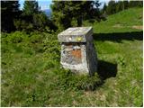 | Laze - Črni vrh above Novaki
Črni vrh, the highest point of the popular Cerkno ski centre, is located north-east of Novaky. From the summit, near which an artificial lake has...
2 h |
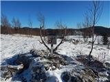 | Ravni - Kršičevec
Kršičevec is a lesser known mountain located east of the village Jurišče in the Pivka Basin. From the grassy summit, where there is a registratio...
2 h 30 min |
 | Bač - Kršičevec
Kršičevec is a lesser known mountain located east of the village Jurišče in the Pivka Basin. From the grassy summit, where there is a registratio...
2 h 15 min |
 | Orehek - Kojca (new path)
Kojca is a scenic peak rising south of Baška Grape. The hay pile on the top offers a beautiful view of the Lower Bohinj Mountains, the Škofjelošk...
1 h 40 min |
 | Bukovo - Kojca (north path)
Kojca is a scenic peak rising south of Baška Grape. The hay pile on the top offers a beautiful view of the Lower Bohinj Mountains, the Škofjelošk...
2 h 15 min |
 | Bukovo - Kojca (south path)
Kojca is a scenic peak rising south of Baška Grape. The hay pile on the top offers a beautiful view of the Lower Bohinj Mountains, the Škofjelošk...
2 h 15 min |
 | Preval Hlevišče - Mladi vrh
Mladi vrh is the senior neighbour of the better known Stari vrh, from which it is separated by a saddle. The top is covered with a sparse beech f...
1 h 45 min |
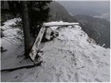 | Begunje (Krpin) - Smokuški vrh (on cart track and past sv. Peter)
Smokuški vrh is a scenic mountain located on a ridge between the Završnice valley and the Gorenjska plain. From the top of the hill, where there ...
1 h 50 min |
 | Rodine - Smokuški vrh (via Sankaška koča)
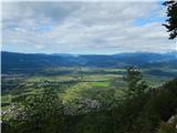
Smokuški vrh is a scenic mountain located on a ridge between the Završnice valley and the Gorenjska plain. From the top of the hill, where there ...
1 h 45 min |
 | Begunje (Krpin) - Smokuški vrh (by road)
Smokuški vrh is a scenic mountain located on a ridge between the Završnice valley and the Gorenjska plain. From the top of the hill, where there ...
1 h 35 min |
 | Begunje (Krpin) - Smokuški vrh (through Blatnica Gorge)
Smokuški vrh is a scenic mountain located on a ridge between the Završnice valley and the Gorenjska plain. From the top of the hill, where there ...
1 h 40 min |
 | Jesenice (Ukova) - Španov vrh
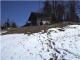
Španov vrh is a 1334m high mountain located between Javorniški Rovt and Mountain pasture below Golica. From the top, reached by the cable car of ...
2 h |
 | Jesenice (Straža) - Španov vrh (via Jelenkamen)
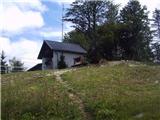
Španov vrh is a 1334m high mountain located between Javorniški Rovt and Mountain pasture below Golica. From the top, reached by the cable car of ...
2 h 30 min |
 | Povlje - Grebenc
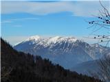
Grebenc is a lesser-known peak, rising steeply above Malo and Velika Poljana. From this little visited peak, in good weather we can enjoy a beaut...
2 h 5 min |
 | Povlje - Grebenc (by cart track)
Grebenc is a lesser-known peak, rising steeply above Malo and Velika Poljana. From this little visited peak, in good weather we can enjoy a beaut...
2 h 5 min |
 | Dolina potoka Žep - Mali Travnik
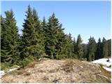
Mali Travnik is a lesser-known peak, located south of the better-known Velika Travnik. From the partially vegetated summit, we have a beautiful v...
2 h 5 min |
 | 2nd hairpin turn of Vršič road - Visoki Mavrinc (Za Kumlehom)
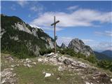
Visoki Mavrinc (Špica v Sedelcih) is a 1562 m high mountain located between Suha, Mala and Velika Pišnica. From the top of the peak, where there ...
2 h |
 | Spodnja Kokra - Baba
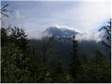
Baba is a 1119 m high peak located to the west of Čemšenik. From the summit, where the registration box is located, you can enjoy a beautiful vie...
1 h 35 min |
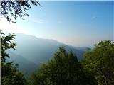 | Potoče - Baba (via sv. Jakob and source below Potoška gora)
Baba is a 1119 m high peak located to the west of Čemšenik. From the summit, where the registration box is located, you can enjoy a beautiful vie...
2 h 10 min |
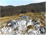 | Hunting cottage Vojkovo - Grmada (Nanos)
Grmada is a 1209 m high peak located to the north-west of the better known Plesa. From the summit, where there is a registration box with a stamp...
1 h 35 min |
 | Razdrto - Grmada (Nanos)
Grmada is a 1209 m high peak located to the north-west of the better known Plesa. From the summit, where there is a registration box with a stamp...
2 h 5 min |
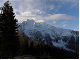 | Makekova Kočna - Visoki vrh above Jezersko
Visoki vrh is a 1459 m high mountain located in the ridge between Makekovo and Ravensko Kočna. From the top, we have a beautiful view towards Koč...
1 h 30 min |
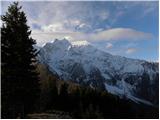 | Makekova Kočna - Visoki vrh above Jezersko (via Javornik)
Visoki vrh is a 1459 m high mountain located in the ridge between Makekovo and Ravensko Kočna. From the top, we have a beautiful view towards Koč...
2 h 15 min |
 | Makekova Kočna - Javornik above Jezersko
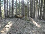
Javornik is a forested peak located between the valleys of Ravenna and Makekova Kočna. There is no view from the top due to the forest, but we ha...
1 h 45 min |
 | Livek - Kuk (Kolovrat)
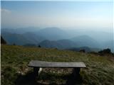
At 1243 m, Kuk is the highest peak of the Kolovrat, the mountain range from Livko to Kambreški. The summit, which has several transmitters, offer...
1 h 30 min |
 | Dom pod Reško planino - Javor
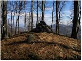
Javor is a 1132 m high peak located between Kisovec and Sveta mountain pasture. There is no view from the top, which is covered with forest, but ...
2 h 5 min |
 | Rateče - Monte Coppa
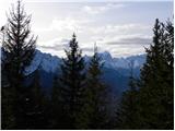
Kopa (also Kopje on some maps) or after ital. Monte Coppa is a 1496 metres high peak located on the Italian side of the Karavanke Mountains. The ...
2 h |
 | Ridovc / Ridovcsäge - Mejnik (via valley of Mrzli potok)
Mejnik is a 1517 m high peak located on the Austrian side of Karawanks, more precisely in the side ridge of Kosuta. There is a milestone on the s...
2 h 5 min |
 | Jeršiče - Baba (at Javorniki)
Baba is a 1085 m high peak located between the Javorniki Ridge and Sveta Trojica. From the grassy summit, we have a beautiful view of the Javorni...
1 h 30 min |
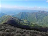 | Tolminske Ravne - Grušnica (via planina na Kalu)
Grušnica is a 1570 m high peak located between Čadrg, the Tolmin valley and Tolminski Ravne. From the top, which descends steeply towards the riv...
1 h 45 min |
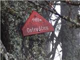 | Mislinjski graben (Pestotnik) - Ostruščica
Ostruščica is a 1498 m high peak located west of the ski slopes at Rogla....
2 h 30 min |
 | Podljubelj (Lajb) - Čisovec
Čisovec is a scenic peak located between Dobrča and Begunjščica. From the top we have a beautiful view towards Košuta, Kamnik Savinja Alps, Begun...
2 h |
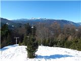 | Poljšica pri Gorjah (Zatrata) - Hotunjski vrh (on footpath)
Hotunjski vrh is a 1107-metre-high lookout peak located above the Zatrnik ski resort. From the top, where there is a registration box and a bench...
1 h 30 min |
 | Poljšica pri Gorjah (Zatrata) - Hotunjski vrh (by road)
Hotunjski vrh is a 1107-metre-high lookout peak located above the Zatrnik ski resort. From the top, where there is a registration box and a bench...
2 h |
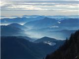 | Podblica - Bela peč (Podbliška gora)
Bela peč is located on the edge of Jelovica above the village of Podblica. From the top of the cliff we have a beautiful view of the village, the...
1 h 30 min |
 | Njivica - Bela peč (Podbliška gora)
Bela peč is located on the edge of Jelovica above the village of Podblica. From the top of the cliff we have a beautiful view of the village, the...
2 h 35 min |
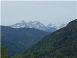 | Črna na Koroškem (Mušenik) - Pikov vrh (via Šumahovo sedlo)
Pikov vrh is a 1149 m high peak located above Podpeca, more precisely above the Pik homestead, near the Koča na Pikovem. On the top there is a re...
2 h 25 min |
 | Črna na Koroškem (Mušenik) - Pikov vrh (via Koča na Pikovem)
Pikov vrh is a 1149 m high peak located above Podpeca, more precisely above the Pik homestead, near the Koča na Pikovem. On the top there is a re...
1 h 45 min |
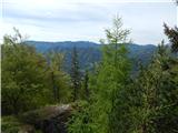 | Črna na Koroškem (Mušenik) - Veliki vrh (above Mežiška dolina) (via Šumahovo sedlo)
Veliki vrh is a 1165-metre-high peak located between Mežica and Črna na Koroškem. On the summit, there is a registration box with a registration ...
1 h 45 min |
 | Črna na Koroškem (Mušenik) - Veliki vrh (above Mežiška dolina) (via Koča na Pikovem)
Veliki vrh is a 1165-metre-high peak located between Mežica and Črna na Koroškem. On the summit, there is a registration box with a registration ...
2 h 25 min |
 | Črna na Koroškem (Mušenik) - Šumahov vrh (via Šumahovo sedlo)
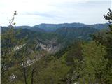
Šumahov vrh is a 1155-metre-high peak on which a wooden cross is erected. From the top, which descends steeply towards Žerjav, we have a beautifu...
1 h 45 min |
 | Spodnja Kokra - Škrbina (Slaparjeva gora) (via farm Zajc)
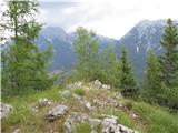
Škrbina is a 1142 m high peak located in the ridge of Slaparjeva gora, which is above the Kokra valley. From the top, we have a beautiful view to...
1 h 40 min |
 | Belopeška jezera / Lago di Fusine - Črni vrh / Colrotondo
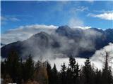
Črni vrh is a fairly scenic peak located west to south-west of the Belopek Lakes. From the summit, on which the hunting observation tower is situ...
1 h 40 min |
 | Bela Peč / Villa Bassa - Črni vrh / Colrotondo
Črni vrh is a fairly scenic peak located west to south-west of the Belopek Lakes. From the summit, on which the hunting observation tower is situ...
2 h |
 | Rodine - Pleče (via Sankaška koča)
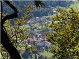
Pleče is a 1131-metre-high peak located north of St Peter above Begunje. The summit is covered by forest, but from near the top, we can enjoy som...
1 h 50 min |
 | Begunje (Krpin) - Pleče (by ski slope and via Sankaška koča)
Pleče is a 1131-metre-high peak located north of St Peter above Begunje. The summit is covered by forest, but from near the top, we can enjoy som...
1 h 45 min |
 | Begunje (PGD Begunje) - Pleče (Petrova pot)
Pleče is a 1131-metre-high peak located north of St Peter above Begunje. The summit is covered by forest, but from near the top, we can enjoy som...
1 h 45 min |
 | Begunje (Krpin) - Pleče (by road)
Pleče is a 1131-metre-high peak located north of St Peter above Begunje. The summit is covered by forest, but from near the top, we can enjoy som...
1 h 40 min |
 | Begunje (Krpin) - Pleče (through Blatnica Gorge)
Pleče is a 1131-metre-high peak located north of St Peter above Begunje. The summit is covered by forest, but from near the top, we can enjoy som...
1 h 45 min |
 | Podljubelj - Robič (via Zavetišče na Kalu)
Robič is a 1384 m high peak located between the valley of Tržiška Bistrica and the ridge of Košuta. The summit offers a beautiful view, especiall...
2 h 15 min |
 | Dolina - Robič
Robič is a 1384 m high peak located between the valley of Tržiška Bistrica and the ridge of Košuta. The summit offers a beautiful view, especiall...
1 h 55 min |
 | Podljubelj (Pod Košuto) - Robič (via lake Jezero pri Čežov)
Robič is a 1384 m high peak located between the valley of Tržiška Bistrica and the ridge of Košuta. The summit offers a beautiful view, especiall...
2 h 15 min |
 | Medvodje - Penatca
Penatca is a 1299 m high peak located above the right bank of the Tržiška Bistrica. The peak itself is located in a forest, and a few steps west ...
1 h 40 min |
 | Jelendol (mansion Puterhof) - Primožkovi hribi
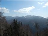
Primožkovi hribi is a small ridge above Jelendol, located between the watercourses of the Tržiška Bistrica, Dolžanka and Zalega potok. The highes...
1 h 40 min |
 | MHE Zali potok - Primožkovi hribi
Primožkovi hribi is a small ridge above Jelendol, located between the watercourses of the Tržiška Bistrica, Dolžanka and Zalega potok. The highes...
1 h 30 min |
 | Dovje - Bela peč (above Dovje)
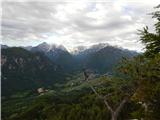
Bele peči is a less known peak, located above the marked Dovje - Dovška Baba trail. The summit offers a beautiful view to the south and west, whi...
2 h |
 | Dovje - Bela peč (above Dovje) (via Blažčeva skala)
Bele peči is a less known peak, located above the marked Dovje - Dovška Baba trail. The summit offers a beautiful view to the south and west, whi...
2 h 15 min |
 | Mixnitz (Parkirišče Bärenschützklamm) - Rannerwandkreuz
...
1 h 45 min |